Hi, what do you want to do?
Center for Innovation in Engineering and Science Education, Stevens Institute of Technology
Where Will Your Home Be in a Million Years?
Students will use the global velocities map to predict where their home will be in a million years.
Center for Innovation in Engineering and Science Education, Stevens Institute of Technology
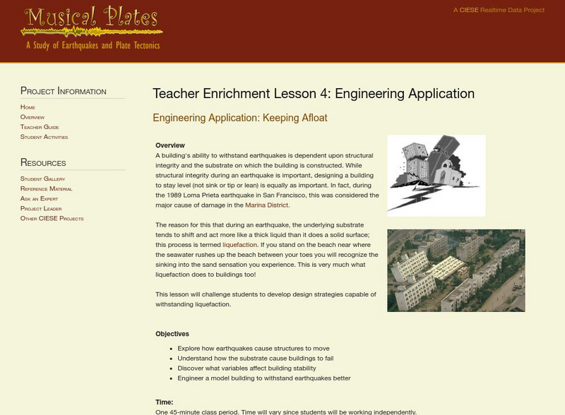
Ciese: Musical Plates: Engineering Application: Keeping Afloat
A lesson that looks at how to design a building so that it will withstand an earthquake and not sink or lean over.
American Geosciences Institute
American Geosciences Institute: Oceans
Seven hands-on lessons module in which students explore oceans. Inquiry-based investigations include properties of seawater, ocean water and currents, and features of the ocean floor.
Story Behind the Science
Story Behind the Science: Development of a Mechanism for Continental Drift [Pdf]
Article describing the history of scientific theories about continental drift, and the major researchers involved in this work.
Science Buddies
Science Buddies: Measuring the Earth's Core With Seismic Waves
When an earthquake occurs, seismic shock waves travel out through the earth from the source of the event. The shock waves travel through the earth (body waves), or along the Earth's surface (surface waves), and can be recorded at remote...
Science Buddies
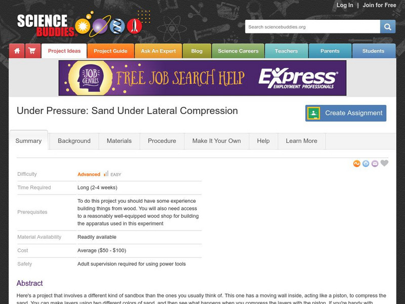
Science Buddies: Under Pressure: Sand Under Lateral Compression
Here's a project that involves a different kind of sandbox than the ones you usually think of. This one has a moving wall inside, acting like a piston, to compress the sand. You can make layers using two different colors of sand, and...
Society for Science and the Public
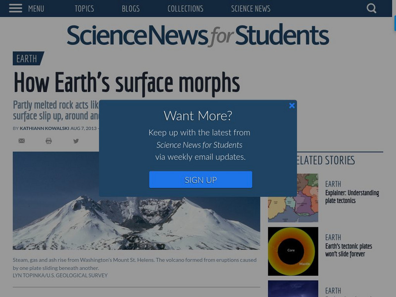
Science News for Students: How Earth's Surface Morphs
Article reports on how the surface of the Earth changes over time. Includes a list of vocabulary words from the article.
Other
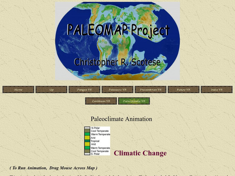
Paleoclimate Animation
This animation allows you to see how the continent's climates changed as they drifted throughout history.
Other
Usgs: Geology in the Parks
Details regarding the geology of national parks in the United States.
US Geological Survey
Usgs: The San Andreas Fault
A great overall site that tells us about the San Andreas fault, where it is and what kind of movements have occurred. It then goes on to talk about earthquakes in general and their occurrences along fault lines.
NOAA
Noaa: National Ocean Service Education: Global Positioning Tutorial
Illustrated tutorial explains the history and science of geodesy. Animations help students visualize how scientists measure and monitor the size and shape of the Earth and the location of points on its surface.
PBS
Pbs News Hour Extra: You Don't Need a Seismograph to Study Earthquakes
Three part lesson will provide students with information about earthquakes and how to predict them using various Web sites. Activities include historical background on major earthquakes, investigating mechanical waves, and simulating...
Virtual Museum of Canada
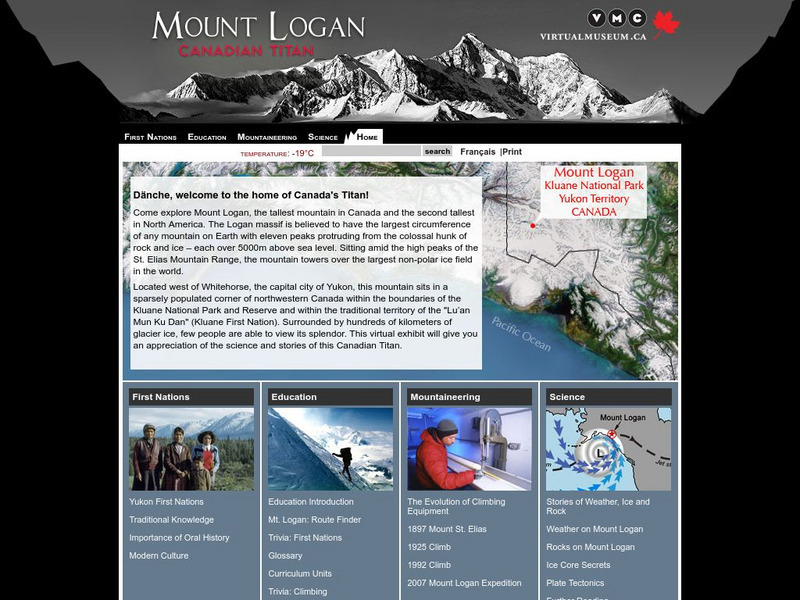
Virtual Museum of Canada: Mt. Logan: Canadian Titan
Mt. Logan in Canada's Yukon Territory is the tallest mountain in Canada and the second tallest in North America. Learn about the people who live around it, the history of mountaineering in the area, and the science - both geological and...
Other
Geological Survey Program: Facts About the New Madrid Seismic Zone
It's surprising to find out that the New Madrid Seismic Zone is the most seismically active area in the United States. The facts go into the New Madrid fault very scientifically and are very detailed. Find maps and charts showing...
Nine Planets
The Eight Planets: Earth
Excellent Eight Planets site that provides a vast amount of information about planet Earth. Very comprehensive and complete site.
US Geological Survey
U.s. Geological Survey: Geologic Time
A discussion of geologic time, how scientists use the concept, and how they have determined its span.
US Geological Survey
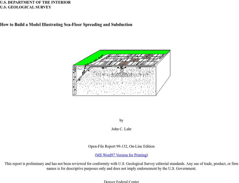
Usgs: How to Build a Model Illustrating Sea Floor Spreading
This is a comprehensive website featuring how to build a model that illustrates sea-floor spreading and subduction. It has diagrams and pictures reviewing major geological concepts.
Center for Innovation in Engineering and Science Education, Stevens Institute of Technology
Ciese: K 12 Education Curriculum: Online Classroom Projects
This site presents projects for individual classrooms and collaborative projects that can be done with other classes or schools. Most of these are science projects.
PBS
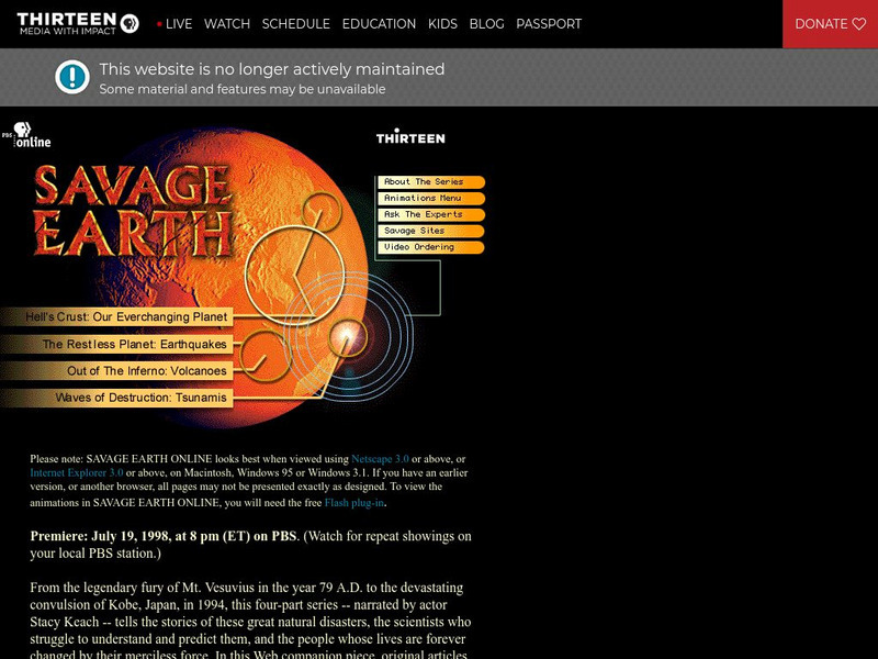
Wnet: Thirteen: Savage Earth Online
PBS produced "Savage Earth," a television series about volcanoes, earthquakes, and tsunamis. Contains extensive information with great graphics.
US Geological Survey
U.s. Geological Survey: San Andreas Fault at Wallace Creek
See interactive, 360 degree panoramic photos of the San Andreas Fault. Aerial photos of the fault were taken using a technique called Kite Aerial Photography.
Other
Tech Museum: Building for the Big One [Pdf]
This resource presents a project where students design and build structures that can withstand an earthquake. The project can include an extension where students look at the factors of soil type and proximity to fault in their design....
CK-12 Foundation
Ck 12: Flex Book Textbooks: Earth Science Concepts for Middle School
[Free Registration/Login may be required to access all resource tools.] A complete, web-based, multi-media textbook covering a wide variety of Earth science concepts for middle grades.
Concord Consortium
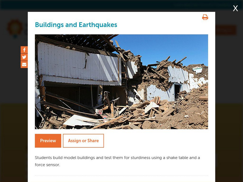
Concord Consortium: Stem Resources: Buildings and Earthquakes
Do you think you can build a house that can withstand the shaking from an earthquake? In this activity, students design and construct model building that will be tested on a shake table with a force sensor. Activity includes questions...
US Geological Survey
U.s. Geological Survey: Earthquakes for Kids
Comprehensive information on earthquakes. Includes photos from famous earthquakes, ask-an-expert feature, earthquake science, history of major earthquakes, a pictorial ABC, adults' guides for dealing with children's emotions, animations...
Other popular searches
- Plate Tectonics Activities
- Plate Tectonics Pangaea
- Plate Tectonic Demonstration
- Science Plate Tectonics
- Lessons on Plate Tectonics
- Theory of Plate Tectonics
- Plate Tectonics Lab Activity
- Modeling Plate Tectonics
- Evidence for Plate Tectonics
- Plate Tectonics Theory
- Plate Tectonics Word Search
- Tectonic Plate Boundaries



![Story Behind the Science: Development of a Mechanism for Continental Drift [Pdf] Article Story Behind the Science: Development of a Mechanism for Continental Drift [Pdf] Article](https://static.lp.lexp.cloud/images/attachment_defaults/resource/large/FPO-knovation.png)




![Tech Museum: Building for the Big One [Pdf] Lesson Plan Tech Museum: Building for the Big One [Pdf] Lesson Plan](http://lessonplanet.com/content/resources/thumbnails/411264/large/bwluav9tywdpy2symdiwmduymc0xmdm2my0xd3vtenpxlmpwzw.jpg?1589993199)

