Super Teacher Worksheets
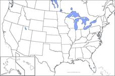
United States of America
Here is the perfect assessment to test your young learners on labeling the 50 states! Each state is given a number on a blank map of the United States, and a second page lists the numbers in order for learners to identify.
Curated OER
Label the Southern States
During your study of the United States, challenge your class to label the seventeen Southern states. Can they do it without the key? The answer sheet is included.
Curated OER
United States Map Quiz
In this online interactive geography quiz activity, students examine the map that includes all 50 states of the United States. Students match the names of the 50 states to the appropriate places on the map.
Curated OER
United States Map: Capitals
In this United States outline map worksheet, students make note of the political divisions of 50 states of the nation. This map is labeled with the 50 state capitals.
Curated OER
United States Map
In this United States outline map worksheet, students make note of the political divisions of 50 states of the nation. This map may be used in a variety of classroom activities.
Curated OER
Learn the States and Postal Abbreviations
If you are preparing to cover the 50 states with your class, you don't want to miss this resource. It includes an excellent set of worksheets through which learners practice identifying states from their abbreviations and placing those...
Curated OER
States: United States Map
In this United States political map worksheet, students examine state boundaries. The map is labeled with the names of each of the 50 states.
Curated OER
Mystery State #43
How much does your class know about the states in the union? Could they determine the name of a state from given clues? Here, pupils consider each of the five clues to name mystery state number 43. Note: There are two handouts on one...
Curated OER
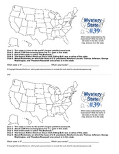
Mystery State # 39
Which state will be the answer to the five clues today? After considering each clue, learners will name the mystery state. If your class can determine which state was home to Chief Sitting Bull, they'll be able to answer South Dakota.
Curated OER
Mystery State #32
There is no better way to start a lesson, than with a good problem-solving activity. Give your class the chance to see if they can use each of the five clues to determine the name of mystery state number 32. Hint: It's the eastern most...
Curated OER
United States Map Quiz
In this online interactive geography quiz worksheet, students respond to 50 identification questions about the shapes of countries shown. Students have 5 minutes to complete the quiz.
Curated OER
USA Map
In this United States political map worksheet, students examine state boundaries. The map may be used in a variety of classroom activities.
Curated OER
Do You Know Your 50 States?
Learners use the names and abbreviations of the 50 states to label a blank map of the United States.
Curated OER
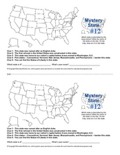
Mystery State #12
What's better than learning about US geography? Having fun while your doing it! After reviewing each of the five given clues, learners attempt to name the mystery state. A great way to reinforce geography skills and deductive reasoning...
Curated OER
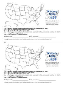
Mystery State # 24
Prepare those brains for a rousing day of learning with a fun geography activity. Your pupils use five different clues to determine the name of mystery state number 24. Where do all those potatoes come from? Idaho!
Curated OER
Mystery State # 28
Using clues is a great way to increase deductive and logical reasoning skills. Boost thinking skills while quizzing kids about us geography. They use five clues to determine which state is in question.
Curated OER
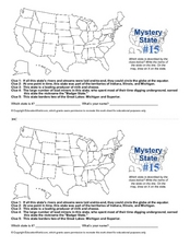
Mystery State #15
Do you know the name of the Badger State? Using five fantastic clues, your super sleuths will determine the name of mystery state number 15. A wonderful way to warm up the class!
Curated OER
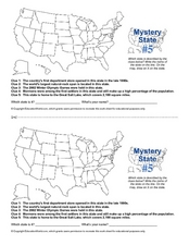
Mystery State # 5
Mystery state number five is none other than Utah! Quiz your kids on state knowledge while building deductive reasoning skills. They use each of the five clues to determine the name of the mystery state. A great warm up when studying...
Curated OER
Mystery State #2
Which is the mystery state for today? Using five super clues, your class will work to uncover which state is being described. They'll have no problem remembering facts about Nevada after this fun warm-up activity.
Curated OER
Iowa State Map
In this Iowa state map worksheet, students color and label the important cities and physical features. Students also study the background map that shows the location of Iowa in the United States.
Curated OER
Washington State Map
In this Washington map worksheet, students color and label the major cities and important physical features on the map. Students also study a second map that shows the location of Washington in the United States.
Curated OER
California State Map
In this geography of California worksheet, students color the map and label major cities and physical features. Students also study a second map showing the location of the state of California in the United States.
Curated OER
United States of America Map
In this United States of America map worksheet, students examine boundaries of each of the 50 states in the nation. This map not is labeled.
Curated OER
USA: Average Precipitation and Temperature Map
In this United States map instructional activity, students make note of the average precipitation and temperature in regions of the country.


