Curated OER
GEOGRAPHY: SPACE CENTERS
Students examine the descriptive science dealing with the surface of Earth, its division into continents and countries, climate, natural resources, inhabitants and industries of the various divisions and analyze the political geography...
Curated OER
Journey of Discovery and Rivers
Students investigate the rivers encountered and mapped by the Corps of Discovery. They analyze maps, outline and label rivers on a blank map, complete a chart, and answer discussion questions while watching a National Geographic video,...
Curated OER
Oh Canada!!
Fifth graders become familiar with the people, culture, government and geography of Canada. In this Canadian people and places lesson, 5th graders research and create a map of Canada reflecting their gathered information. Students...
Curated OER
America Will Be
High schoolers work together to research and create different types of maps of the United States to be used as part of a geography trivia game.Groups research North American annual rainfall, climate, mountain ranges major rivers and...
Curated OER
CLASSROOM MAPS
Students do a blind tour of their school by responding to verbal commands. They look and discuss various maps in the classroom. They locate the direction of the sunrise and discuss the compass directions of North, South, East, and West.
Curated OER
Map Reading in the 21st Century
Students interact with MapPoint tools to view maps of the past and the present in multiple ways. They participate in mini-lessons aimed at locating certain points of interest or famous routes taken in history.
Curated OER
Connections Between World Events, Geography and the Human Quest for Knowledge
Young scholars examine the relationship between innovations in geography and world events. Using maps, they report different information from a spatial perspective. They develop hypothesis about how man's quest for knowledge has...
Curated OER
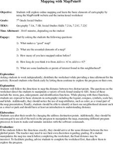
Mapping With MapPoint
The class is engaged through a discussion of mapping. They determine what they believe makes a good map and what the essential elements of a map are. Students work independently to complete a worksheet on mapping. They follow clear...
Curated OER
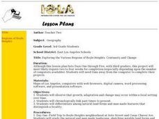
Exploring the Various Regions of Boyle Heights: Continuity and Change
Student study the local landscape of Boyle Heights, California and draw a sketch of the area. Students use map making skills in this activity. Studient make a portfolio of information and photographs they accumulate over time on the area.
Curated OER
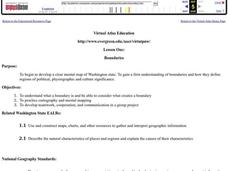
Boundaries
Pupils are introduced to the term of mental mapping. Individually, they develop their own mental map of Washington state and discuss as a class what makes a boundary. They draw their mental map on paper and compare it with their...
Other popular searches
- Cartography Lessons
- Cartography Color
- Cartography Geology
- Web Cartography
- Cartography (Maps
- Cartography and Mathematics
- Cartography Sociology
- Cartography Lesson Plans
- Cartography Celestial
- Cartography Sociolocial
- Cartography Australia
- History of Cartography


