Curated OER
Making Maps
For this map making worksheet, students learn about the science of making maps, which is cartography. They then answer the 11 questions on the worksheet. The answers are on the last page.
Curated OER
Cartography
Students research about cartography and how to be a cartographer. In this math instructional activity, students draw a map of their classroom. They use a robot to explore navigation using a compass rose.
Curated OER
Cartography
Students follow directions to draw a map of an island. They complete the island map adding their own details using symbols and a legend.
Curated OER
GIS Mapping: Special Instructions for Using Digital Orthophotos
Students practice cartography using GIS technology. They create a map of Austin using GIS and aerial photos.
Curated OER
Layers with Lines
Students examine topographical maps and the challenges faced by cartographers when drawing the maps. While creating collages, they use contour lines to add dimension much in the same way they are used on maps to show elevation.
Curated OER
Land Plan Challenge
Links to two different versions of this mapping activity are available. In "The Small Version," youngsters design a town, keeping the water supply in mind. In "The Large Version," they also design a town, but they consider services and...
Curated OER
Geography: Analyzing the Local Environment
Students, in groups, explore the school grounds and organize their findings according to the five themes of geography. They take notes and sketch the grounds. Students divide the school and grounds into regions based on use.
Curated OER
Latitude
Students examine the theory of finding latitude and discuss the uses of an astrolabe, cross-staff and octant. They determine an Astronomical Table for their classroom.
Curated OER
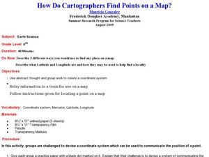
How Do Cartographers Find Points on a Map?
Ninth graders describe latitude and longitude and how they may be useful to find things on a map. In this cartography lesson students divide into groups and devise a coordinate system that can be used to communicate a position.
Curated OER
Aerial Photographs
In this geography worksheet, students read an excerpt about aerial photographs and how they are taken. Then they identify shape, size, tone, shadows, and other hints that might be seen. Finally, students respond to 5 short answer...
Curated OER
What Color is the Ocean?
Learners view satellite pictures of the ocean, and discuss the presence of phytoplankton and the colors of the ocean. Students compare/contrast ocean satellite images with maps and globes, then color world maps to replicate the satellite...
Curated OER
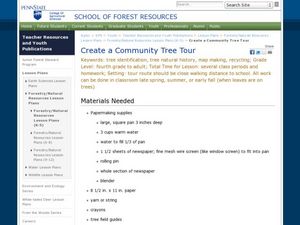
Create a Community Tree Tour
Students study tree identification. In this tree identification lesson, students design and assemble a tree tour booklet describing 5 trees found in their community. The booklet should feature common and Latin names of the species, a...
Curated OER
A Special Relationship: Connecticut and Its Settlers
Students study both geological and geographical features of Connecticut and the New Haven area. They focus on map works and rock formation.
Curated OER
Polar Day: Living in the Canadian North
Students study the Canadian North. In this Canadian North lesson, students study the physical characteristics and the lifestyles of people in that region. Students complete map making and creative activities that help them learn about...
Curated OER
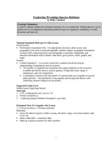
Exploring Wyoming Species Habitats
Middle schoolers are introduced to the concept of species habitats and ranges. They introduced to ArcView GIS as a tool for mapping. Pupils use query data for species withina county, elevation, range, rivers and streams, land cover, and...
Curated OER
GEOGRAPHY: SPACE CENTERS
Students examine the descriptive science dealing with the surface of Earth, its division into continents and countries, climate, natural resources, inhabitants and industries of the various divisions and analyze the political geography...
Curated OER
Interview with Meriwether Lewis
High schoolers ask questions and prepare responses to Meriwether Lewis and his expedition. In this journal instructional activity students present their questions to the class.
Other popular searches
- Cartography Lessons
- Cartography Color
- Cartography Geology
- Web Cartography
- Cartography (Maps
- Cartography and Mathematics
- Cartography Sociology
- Cartography Lesson Plans
- Cartography Celestial
- Cartography Sociolocial
- Cartography Australia
- History of Cartography


