American Geosciences Institute
American Geosciences Institute: Rocks and Landforms
Eight hands-on lessons module where students learn about rocks and landforms. These inquiry-based investigations explore the different types of rocks, how they are formed, the different types of landforms, and the effects of glaciers on...
Ducksters
Ducksters: Earth Science for Kids: Topography
Kids learn about the Earth science subject of topography including features such as landforms, elevation, latitude, longitude, and topographical maps.
Science Education Resource Center at Carleton College
Serc: Bot Ec: The San Andreas Fault's Rate of Movement
The San Andrea is an active fault zone, marked by frequent earthquake activity. The crust southwest of this strike-slip fault (including Los Angeles) is sliding to the northwest relative to the other side. It is possible to estimate the...
American-Israeli Cooperative Enterprise
Jewish Virtual Library: The Golan Heights
Information on the Golan Heights includes: an overview of the geography, geology, maps, statistics, and history. Also, a section on the Golan Heights Law of December 14, 1981 is included. Please know that some statistical information may...
US Geological Survey
U.s. Geological Survey: Learning About Earthquakes Coloring Pages
Coloring pictures of seismic waves, earthquake safety and hazard maps. [PDF] Links to other handy tools, including trivia, stories, games and fun projects.
Utah Education Network
Uen: Utah History Encyclopedia: Physical Geography of Utah
This resource provides information on the physical geography of the state.
Purdue University
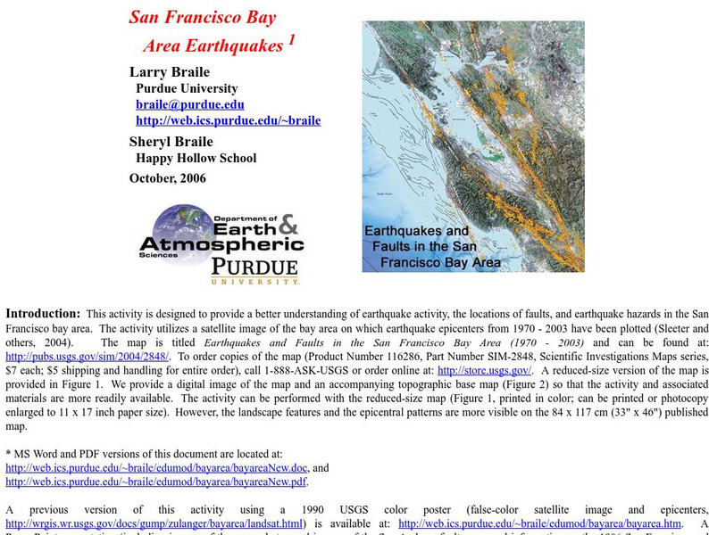
Purdue University: San Francisco Bay Area Earthquakes
Students use geologic fault maps of the San Francisco Bay Area to find relationships between tectonic plate fault lines and landscape features, topographic features, and epicenters of past earthquakes.
University of Oxford (UK)
Oxford University Museum of Natural History: The Learning Zone: Fossils
This excellent website walks students through the basics of understanding fossils. It emphasizes that most common fossils would be invertebrates and, after learning more about these life forms, students can choose to take a quiz. The...
Library of Congress
Loc: Conservation and Environment
Understand the historic and recent use of land in various areas in the United States based on the maps on this site. "These maps show the changes in the landscape, including natural and man-made features, recreational and wilderness...
US Geological Survey
Usgs: Trends in Ground Water Use, 1950 2005
This site from USGS describes the importance of ground-water, provides a map of ground-water use (by state), a map of the percent of total withdrawals coming from ground water, and a map of the percent of public-supplied population...
Science Education Resource Center at Carleton College
Serc: Earth Science Education Activities: Prof. Larry Braile
A lesson plan collection covering plate tectonics, with some structural geology and planetary science projects. The PDF files include activities, hand outs, maps, and directions for building a simple seismometer and seismograph. Also...
US Geological Survey
Usgs: The Himalayas: Two Continents Collide
This site from the U.S. Geological Survey explains how the Himalayas were formed by plate-tectonic forces. Includes a nice map to help visualize the theory.
US Geological Survey
Usgs: Plate Tectonics, Hot Spots, and Ring of Fire: World Map
A world map featuring active volcanoes, plate tectonics, hot spots, and ring of fire.
Other popular searches
- Geologic Mapping Loveland
- Geologic Mapping of Loveland
- Geologic Mapping Love Land
- Creating a Geologic Map
- Geologic Mapping of Love Land


