Scholastic
Study Jams! Muscular System
A professionally created set of slides strengthens viewers' knowledge of the muscular system. Some slides display microscope enlargements of muscle fibers and neurons, while others are beautifully detailed graphic images. The difference...
American Museum of Natural History
Life in the City
Believe it or not, biodiversity exists even in areas of disturbed habitat. An interactive activity challenges learners to look for species with a magnifying lens in an image of a city habitat. Pop-up images and descriptions explain how...
Curated OER
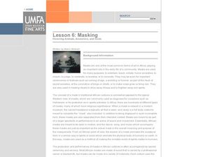
Masking: Honoring Animals, Ancestors, and Gods
Students analyze the role of masks in African culture. In this African masks instructional activity, students read about the importance and meaning of imagery of African masks. Students observe animals in local ecosystems and create a...
Curated OER
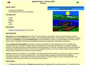
Poetry and Observations
Students compare poetry and the night sky. For this poetry lesson, students read poetry and compare the imagery from the poem with the night sky. Students explore how science and poetry relate to one another.
Curated OER
Trees
Students explore tree species based on their features. In this tree lesson, students visit a wooded area and work with a partner to describe distinctive features of trees using all of the senses except "sight." A discovery worksheet is...
Curated OER
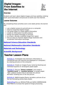
Digital Images: From Satellites To The Internet
Pupils examine digital images and how satellites orbiting Earth send information and pictures to Earth over the Internet. They use a digital camera to put pictures on a computer and decode a satellite image from space.
Curated OER
Using Maps To Make Public Health Decisions Case Study: Wildfires in Mexico 2000
Students study environmental health. Using actual NOAA satellite imagery, students investigate the basic concepts of mapping. They explore the relationship between monitoring satellite images and public health decision making.
Curated OER
Going for the Green
Pupils use satellite imagery to obtain information on chlorophyll concentration at selected locations in the Earth's oceans.Students explain the relationship between chlorophyll concentration and primary production.Studen
Curated OER
Making Sense of Density
Students identify the concepts of density, mass, and volume that define the property of a substance. They also determine that the properties of materials, such as, density and volume, can be compared and measured by using rulers,...
Curated OER
Tracking the Weather
Students use satellite imagery and forecasting maps as a storm moves through the United States. In this weather lesson students track storm systems and chart the systems on a map.
Curated OER
Tracking a Hurricane
Students use knowledge of what satellite imagery tells to create a descriptive hypothesis of the ground phenomenon during a hurricane.
Curated OER
Interpreting Satellite Images
Students identify differences between photography and satellite imagery space.
Curated OER
Salmon Run
Students examine the life cycle of the Pacific salmon and the impact of humans on salmon migration. They watch a Powerpoint presentation, trace migration routes on satellite imagery, and complete mock calculations of salmon energy...
Curated OER
"Bug Hunt"
Fourth graders find bugs represented on a grid and then identify their name and physical characteristics that provide a picture of the bug using imagery.
Curated OER
A Comparison of Cloud Coverage Over Africa
Students use a NASA satellite data to contrast amounts of cloud coverage over different climate regions in Africa. They explore how Earth's major air circulations affect global weather patterns, and relate to local weather patterns.
Curated OER
Storm Clouds-- Fly over a Late Winter Storm onboard a NASA Earth Observing Satellite
Students study cloud data and weather maps to explore cloud activity. In this cloud data lesson students locate latitude and longitude coordinates and determine cloud cover percentages.
Curated OER
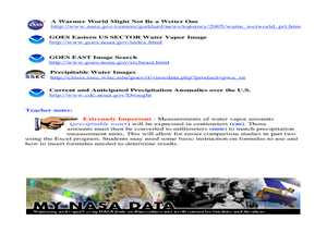
A Comparison Study of Water Vapor Data to Precipitation over North America
Students use NASA satellite data to compare water vapor over the United States. In this data analysis lesson students use an Excel spreadsheet to map their data.
Curated OER
Who's Range is it?
Students investigate the habits of panthers by analyzing radio transmitted data. For this animal life lesson, students utilize computers to view the range of different statistics dealing with Florida panthers. Students complete a...
Curated OER
Radiation Comparison Before and After 9-11
Using the NASA website, class members try to determine if changes could be detected in cloud cover, temperature, and/or radiation measurements due to the lack of contrails that resulted from the halt in air traffic after the attacks of...
Illinois Department of Natural Resources
Section Two: Why is Biodiversity Important?
Explore soil, genetic traits, natural resources, and pollution in a series of lessons that focus on biodiversity. Kids complete experiments to learn more about the importance of varied genes and organisms in an ecosystem.
Curated OER
Volcanoes in Space
Pupils research volcanoes on the Internet to compare/contrast the volcanoes on Earth to the ones found on Io, a moon of Jupiter. Students list the similarities and differences in science journals, and illustrate pictures of the volcanoes.
Curated OER
Chart Making for Navigators
Students discuss the importance and function of nautical maps for sailors. They, in groups, take soundings of a simulated bay in a shoebox and develop a nautical chart that enable them to navigate the shoebox safely.
Curated OER
Latitude
Pupils examine the theory of finding latitude and discuss the uses of an astrolabe, cross-staff and octant. They determine an Astronomical Table for their classroom.
Curated OER
Compass Deviation
Students identify and describe the difference between the magnetic north pole and true north. They consider why sailors could not steer a straight course to the New World from the Old.
Other popular searches
- Imagery Figurative Language
- Visual Imagery
- Guided Imagery
- Imagery and Poetic Devices
- Imagery Words
- Imagery and Word Choice
- Plot Structure and Imagery
- Imagery the Great Gatsby
- Literary Imagery
- Teaching Poetry Imagery
- Satellite Imagery
- Musical Imagery


