Hi, what do you want to do?
Curated OER
Trekking to Timbuktu
Students view a television show to provide a context for conducting research into the location and culture of Timbuktu. The students complete a report on the subject in the form of a research paper.
Curated OER
Henry Hudson: 400th Anniversary of Discovery
Commemorate the discovery made by Henry Hudson and delve into the Age of Exploration.
Curated OER
Slave Ship: Carrier of Destiny
Fifth graders research topics related to slavery. They visit area museums, and the Arkansas Arts Council presents cultural experiences. They discuss and internalize the plight of people sold into slavery.
Curated OER
Chapters 14 & 15 – Age of Exploration
In this U.S. history worksheet, students read assigned textbook pages regarding the Age of Exploration and respond to 49 short answer questions.
Curated OER
Columbian Contexts
Pupils explore geo-political and economic contexts for the European Renaissance journeys of exploration, including those of Columbus, create cartographic symbols, and add those symbols to a print-out of Ptolemy's map.
Curated OER
VS.3e
Third graders explore, examine and identify the importance of the arrival of Africans and women to the Jamestown settlement. They review the groups of people in Virginia during the early 1600s and explain how having a government brought...
Digital History
Digital History: The Slave Trade [Pdf]
Read Olaudah Equiano's account of being captured in his village in Africa, and placed on a slave ship to be taken to America. He describes the middle passage of the triangular trade route, as well as the leg from Europe to Africa. [pdf]
Curated OER
Clip Art by Phillip Martin: Slave Trade Routes
A clipart illustration by Phillip Martin titled "Slave Trade Routes."
Solomon R. Guggenheim Foundation
Guggenheim Museum: Africa: Sahel and Savanna
A description of the Sahel region of Africa, encompassing the countries of Mali, Niger, and Chad. Includes information on the Sahel's cultural history, the spread of Islam into the area, and examples of artwork.
University of Texas at Austin
University of Texas: Africa Enslaved [Pdf]
A comprehensive study of the slave trade in Africa, South America, and the Caribbean.
Khan Academy
Khan Academy: World History: Unit: 600 1450 Regional & Interregional Interaction
The World History unit is from Khan Academy. The years 600 to 1450 are included. The Byzantine Empire, European Middle Ages, origins of Islam, spread of Islam, Great Schism, Crusades, Mongols, Song China, Medieval Japan, Maya Empire,...
Countries and Their Cultures
Countries and Their Cultures: Jews of the Middle East
Prior to 1948, Jewish communties were found discontinuously in an area stretching from southwest Asia across North Africa, from Tajikistan and Uzbekistan in the north to Yemen in the south, and from Afghanistan in the east to Morocco in...
Open Door Team
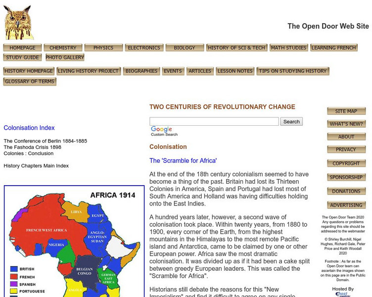
Open Door Web Site: Britain and the Scramble for Africa
Briefly describes Britain's motivations for imperializing African regions. Includes the text of a speech given by Lord Cruzon entitled, "The True Imperialism."
The History Cat
The History Cat: Vasco De Gama
Vasco da Gama (this is the accepted spelling) was a Portuguese explorer from the 15th and 16th centuries who established the first trade route to India that went around the southern tip of Africa. Read about his life, his...
Other
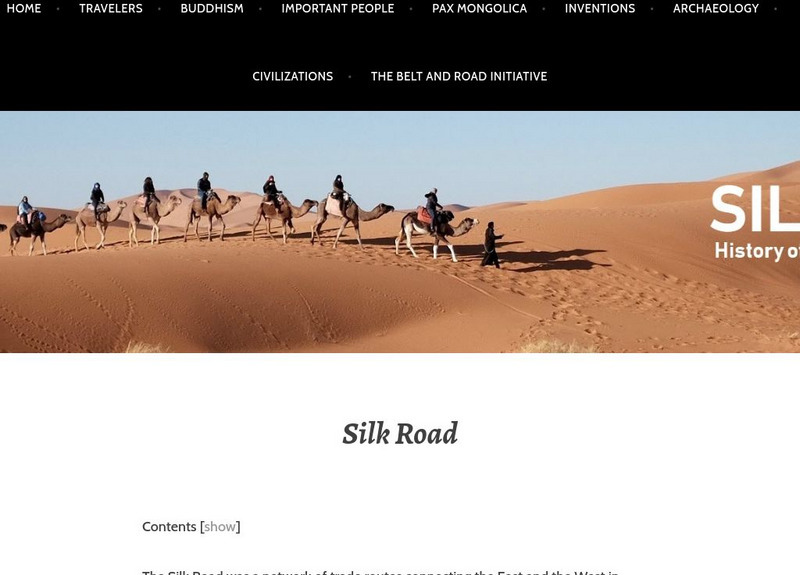
Silk Road: History of the Silk Road: The Belt and Road Initiative
The Silk Road was a network of trade routes connecting the East and the West in ancient and Medieval times. The term is used for both overland routes and those that are marine or limnic. The Silk Road involved three continents: Europe,...
Siteseen
Siteseen: Land of the Brave: Triangular Trade
Article on triangular trade in Colonial America explores routes (England to Africa to the Americas and back to England), the exchange of goods, and Slave Trade. A chart shows the goods traded by the Thirteen Colonies.
Curated OER
Educational Technology Clearinghouse: Maps Etc: Pre Colonial Africa, 1872
A map of Africa showing the continent prior to the Berlin Conference of 1885, when the most powerful countries in Europe at the time convened to make their territorial claims on Africa and establish their colonial borders at the start of...
Curated OER
Etc: Maps Etc: Africa Before the Berlin Conference, 1882
A map of Africa as it was known in 1882 before the Berlin Conference of 1885, when the most powerful countries in Europe at the time convened to make their territorial claims on Africa and establish their colonial borders at the start of...
Curated OER
Etc: Maps Etc: Africa Before the Berlin Conference, 1884
This is an interesting map of Africa showing the continent before the Berlin Conference of 1885, when the most powerful countries in Europe at the time convened to make their territorial claims on Africa and establish their colonial...
Curated OER
Educational Technology Clearinghouse: Maps Etc: Colonial Africa, 1903
A political map of Africa, as it was in 1903, showing European land claims after the Berlin Conference in 1885. The lack of natural boundaries, that is, boundaries along rivers, mountains, or native lands, shows the European system of...
Curated OER
Etc: Maps Etc: Africa: European Possessions, 1909
A map of Africa in 1909 showing the European land claims established by the Berlin Conference of 1885. British, German, French, Spanish, and Portuguese possessions are shown, as well as major cities and towns, railroad and trade routes,...
Curated OER
Educational Technology Clearinghouse: Maps Etc: Pre Colonial Africa, 1858
Map of Africa in 1858, prior to the extensive European colonization of the continent established at the Berlin Conference of 1885. This map shows the European possessions of the Cape Colony, Natal, and Orange River Free State, and the...
Curated OER
Educational Technology Clearinghouse: Maps Etc: Colonial Africa, 1899
Map of Africa in 1899 showing the colonial possessions of European powers on the continent established at the Berlin Conference of 1885. This map shows major cities and trade centers, railroad routes and canals, major river systems, and...
Curated OER
Educational Technology Clearinghouse: Maps Etc: Pre Colonial Africa, 1885
A map of the African continent prior to the Berlin Conference of 1885, when the most powerful countries in Europe at the time convened to make their territorial claims on Africa and establish their colonial borders at the start of the...


![Digital History: The Slave Trade [Pdf] Website Digital History: The Slave Trade [Pdf] Website](https://static.lp.lexp.cloud/images/attachment_defaults/resource/large/FPO-knovation.png)


