Curated OER
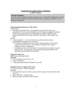
Exploring Wyoming Species Habitats
Middle schoolers are introduced to the concept of species habitats and ranges. They introduced to ArcView GIS as a tool for mapping. Pupils use query data for species withina county, elevation, range, rivers and streams, land cover, and...
Curated OER
Agriculture in Canada
Students examine various elements in the physical environment and their relationship to agriculture in Canada. Using the ArcCanada CD-ROM, they analyze maps, and interpret relationships between the physical environment and land use.
Curated OER
Image Classification
Students explore what are "multi-spectral" or "multi-band" images? They investigate how landscapes change over time- at least over the time-span of satellite imagery, particulary due to human influences. Students explore how to train...
Curated OER
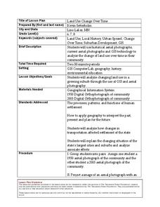
Land Use Change Over Time
Young scholars use historical aerial photographs and current aerial photographs to compare the change over time to the land. In this land changing lesson plan, students analyze, compare, contrast, and list the land change in their own...
Curated OER
The Great MPA Debate
Students study the 'Marine Protected Areas' process. In this ocean instructional activity students work in groups, conduct research and present it to the class.
Curated OER
Calculating Impervious Cover in the City of Austin
High schoolers use GIS to calculate park impervious cover in Austin, TX. They consider that there are different types of impervious cover from hard, packed dirt to cement paving. Students consider the limitations of data in several areas...
Curated OER
Rock Creek Water Quality
Ninth graders test water in a local creek using chemical kits and probes. They take GPS readings and digital photos. They calculate the Water Quality Index and create a spreadsheet of the test data.
Curated OER
Rock Creek Water Quality
Ninth graders test water in a local creek using chemical kits and probes. They take GPS readings and digital photographs. They calculate the Water Quality Index and create a spreadsheet.
Curated OER
Displaying Data
Students create a display map with data from a previous lesson. They incorporate graduated marks that identify areas of the school grounds that are good for planting based on density.
Curated OER
Habeas Corpus and“Enemy Combatants”
Students explore the implications of habeus corpus. In this habeus corpus lesson, students participate in reader's theatre activity regarding the origin of habeus corpus. Students then investigate the Hamdi v. Rumsfeld case and determine...
Curated OER
Park Problems
Students calculate park acreage and map the distribution of parks in Austin, TX using GIS. Students use a specific website to find the information.
Curated OER
GIS and Agriculture
Students are introduced GIS systems and how they operate. Using a GIS system, they locate and map the various types of agricultural products grown in Oregon. They rank each county based on the amount of agricultural products produced and...
Curated OER
GIS: Mapping Watersheds of the Edwards Aquifer in Travis County
Students manipulate existing GIS data to create and map a new layer of information that shows that watersheds in Travis County that are on top of Edwards Aquifer. They create and map that shows the watersheds in Travis County that are on...
Curated OER
GIS Mapping: Special Instructions for Using Digital Orthophotos
Students practice cartography using GIS technology. They create a map of Austin using GIS and aerial photos.
Curated OER
Exploring Earthquakes in Space and Time Through the Internet and a Geographic Information System
Learners examine the frequency and distribution of earthquake epicenters and compare these epicenters to the distribution of plate boundaries and cities.
Curated OER
Teaching about Rain Storms, Land Use, and Lake Turbidity
Students investigate the impacts of major rainfall and subsequent runoff on turbidity in lakes. They, in groups, develop a presentation of their research and/or write a paper summarizing their investigation.
Curated OER
Where to Live?
Students examine types of spatial data found in a GIS. In this geography instructional activity students use a GIS to facilitate analysis and decision making.
Other popular searches
- Arcview Software
- Gis Biomes Arcview
- Arcview 3.3
- Arcview Forests
- Arcview Durkee
- Arcview Lessons
- Arcview 33


