Curriculum Corner
Earth Day Book
This Earth Day, celebrate our beautiful planet with an activity book that challenges scholars to show off their map skills, complete a crossword puzzle, write acrostic poems, alphabetize, and reflect on their personal Earth-friendly habits.
Curated OER
Everybody Cooks Rice
Pupils read the book, "Everybody Cooks Rice," and they participate in activities pertaining to the book. They identify countries mentioned in the text and locate them on a world map. They use an atlas to identify the climatic conditions...
Curated OER
The American Civil War: A Nation Divided (1861-1865)
Intended for use with atlases, this presentation details the causes and effects of the Civil War. It includes historical pictures of battles and discussion points about the technology which emerged during (and for) the war. The final...
Curated OER
Name that Mammal
Students become familiar with various mammals found in Idaho. They work in groups of three to four. Students use the digital atlas to identify mammals. They complete this activity by using the mammal section of the Digital Atlas.
Curated OER
Selecting A Destination
Middle schoolers utilize atlases, maps, and Internet resources to select destinations and places to stop along the way on a day trip. They examine and write about the reasons they want to visit the particular places they chose.
Curated OER
Test Your Research Skills
In this research skills worksheet, learners use a road atlas for the United Kingdom to help them answer the geographical questions about counties of the U.K.
Curated OER
Where in the World...?
Students use longitude and latitude to locate various cities, regions, landforms, and bodies of water around the globe. They use The New York Times Learning Network's crossword puzzle 'Longitude and Latitude' to sharpen their atlas skills.
Curated OER
MAPPING YOUR NEIGHBORHOOD
Students uses atlases, maps, and Web resources to generate and examine maps of their own neighborhoods. This activity serve as background for the map-reading tasks in the next lessons.
Curated OER
Creating a Dichotomous Key for Amphibians
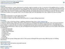
Students are introduced to the purpose of dichotomous keys and create one together as a class. In groups, they use a digital atlas to examine the different types of amphibians in Idaho. Using this information, they make their own...
Curated OER
Project Map: Latitude And Longitude Worksheet
In this latitude and longitude learning exercise, students find the coordinates of 14 cities around the world and use this information to complete 14 short answer questions. This learning exercise includes online atlas web links.
Curated OER
Rising Sea Levels: UK and Bangladesh
Learners explore the possible effects of global warming. In this geography/global warming lesson, students identify regions using an atlas and complete a global warming worksheet. Learners perform an experiment in which they simulate...
Curated OER
Who Are the Aliens in Our Inland Seas?
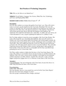
Students work in teams to research specific landforms in Great Lakes Watershed, compile information into data table, and write legend explaining landform for children's book. Students then research area surrounding landform, compile...
Curated OER
Donde en el mundo estas?
Students give & follow directions given in Spanish, using oral, written and graphics. They use maps, globes, atlases, and remote sensing, GIS, and GPS to acquire and process information about places.
Curated OER
Historic Population Chart
Learners examine the changes in the population in Idaho over a specific amount of time. In groups, they use the digital atlas to identify the trends in the population and describe why and how they exist. To end the lesson, they compare...
Curated OER
Analyzing Hurricanes Using Web and Desktop GIS
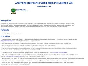
Students analyze hurricanes. In hurricanes activity, students use the Internet and GIS to analyze hurricanes. Students view the National Atlas of Maps to discuss the direction hurricanes move. Students study the wind and pressure fields...
Curated OER
Early Explorers Web Quest
Students use the Canadian atlas online to research early explorers and settlers in Canada. They also complete a Web Quest to gather information from maps. They make generalizations about the early settlement patterns as well.
Curated OER
Exploring Canadian Heritage
Learners use the online Atlas as a research tool to find information on national parks and world heritage sites.
Curated OER
A Canadian Inventory: The Way We Are!
Pupils, in groups, explore major thematic sections of the Atlas of Canada. They use their findings to produce a wall display, consider and incorporate the issue of sustainability into their material and deliver a presentation to the class.
Curated OER
Canada's Landform Regions
Students use a atlas to identify and describe Canada's Landform region. Using the information they collect, they create a thematic map of the region and describe all of the physiographic regions and the processes that formed them. They...
Curated OER
Climate Characteristics of Canadian Localities
Tenth graders match the climate data to a Canadian city. They justify their choice, referring to factors that affect climate. They use the Atlas of Canada's Advanced Search to locate specific communities.
Curated OER
Treasure of the Tar
Students, using an atlas, locate the region known as the "Tar Sands" in the Central Plains of Canada. They hypothesize about the future economic potential of this natural resource. They create a poster about the Tar Sands industry in...
Library Sparks
Reference Tools Vocabulary Challenge
Learners love the opportunity of going to the library to jump into that one comfy chair in the whole room with a book, or be a lucky one to get to the computers before anyone else. But knowing how to locate books and other reference...
Curated OER
Zones of Conflict
Students read maps and identify specific countries involved in conflict. They classify countries in cultural realms. They relate maps to what they know about world conflict.
Curated OER
Where to Look for the USA?
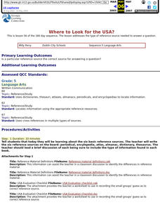
Fifth graders, in groups, explore the the type of reference sources are needed to answer a question. Each group identifies where the material was located, and the teacher records the guess.
Other popular searches
- Atlas Reference
- Atlas Skills
- Atlas Canada
- Using an Atlas
- Research Skills Atlas
- Atlas Activities
- World Atlas
- Using the Atlas
- Online Atlas
- Atlas Scavenger Hunt
- Digital Atlas
- Atlas of Canada


