Hi, what do you want to do?
Curated OER
Seeing through Immigrants' Eyes
Students assume the perspective of an immigrant moving to Texas. They write a diary entry from an immigrant's perspective, describing how they arrived in their new town, what steps they take to get settled, and their feelings about their...
Curated OER
From Forest to Farm to Urban Forest
Young scholars participate in a group discuss revolving around urban development and their answers to worksheet questions. They analyze maps and historical records to compare and contrast the day to day activities of a forest manager.
Curated OER
A Snapshot of the Connecticut River Valley - 1880
Students analyze a variety of images and documents and make inferences from their readings and articulate causality.
Calvin Crest Outdoor School
Survival
Equip young campers with important survival knowledge with a set of engaging lessons. Teammates work together to complete three outdoor activities, which include building a shelter, starting a campfire, and finding directions in the...
Curated OER
Guillermo Kuitca Art
Students analyze the art work of Guillermo Kuitca. In this art analysis lesson, students analyze the geographical art of Kuitca and complete discussion activities. Students read about the artist and complete a related activity.
Curated OER
Wanted: Texas Workers
Students discover industries prevalent in nineteenth-century Texas cities and identify resources required to perform occupations. They examine how geographic areas contribute to the development of industries and write a letter applying...
Other
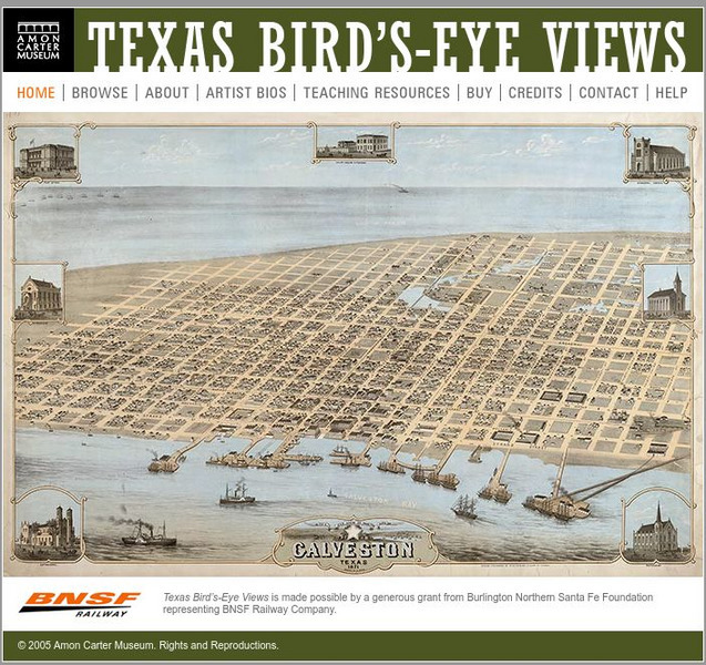
Amon Carter Museum: Texas Bird's Eye Views
A fascinating collection of fifty-nine bird's-eye view maps of Texas in the 1800s, covering forty-four cities in all. These maps were created by artists and provide historical records that would otherwise not exist. Each map is...
HotChalk
Hot Chalk: Lesson Plans Page: Birdseye View, Mapping
Lesson that helps students understand that maps show a "birds-eye view" of a place. Students stand above a teacher-made model and discuss how the objects in the model looked from above. Then students draw objects from a birds-eye view,...
NASA
Nasa: Aerial Photography: The Adventures of Amelia the Pigeon
An animated adventure story, developed by NASA, that helps children understand earth science concepts by using satellite photography and other types of aerial photographs to identify physical features on the surface of the earth. Teaches...


