NASA
Outline Maps
Don't miss this gold mine of blank maps for your next geography lesson! Regions include traditional continents such as Asia, Europe, and Africa, as well as other major world areas such as the Pacific Rim and the Middle East.
Owl Teacher
Introduction to World of Geography Test
Assess your learners on the five themes of geography and the most important key terms and concepts from an introductory geography unit. Here you'll find an assessment with 15 fill-in-the-blank and 14 multiple-choice questions, sections...
NOAA
A Watery World
With about 70% of the earth's surface covered in oceans, it's fair to say that we live in a very wet world. Young scientists gain a better appreciation of this fact as they use maps to identify the world's ocean basins in the first...
Curated OER
Where in the World Is Mexico?
Students practice map-reading skills as they locate Mexico and its cities on a world map. By creating a puzzle out of a map of Mexico, students engage in a meaningful hands-on activity to help them explore that country's geography.
Edline
How Did the Unification of Germany Change the Course of World History?
Here you'll find a nice guided notes worksheet on Otto von Bismarck, which details Bismarck's plan to unify Germany, as well as asks learners to analyze his motivations and overall impact.
Saline Area Schools
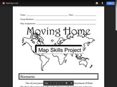
Moving Home: A Map Skills Project
You have just been informed you are moving, but you have the choice of three locations. Where do you go? This is the question class members answer in a map skills project. Learners examine three locations using maps, gather information...
Curated OER
2nd Grade - Act. 21: Me On the Map
Second graders read book, Me On the Map, and create map of their bedroom and of their house.
Curated OER
European Union Map Quest
Sixth graders identify countries of the European Union. They locate countries of Europe on a map and pair with a student to complete a blank map of Europe. They label each country and complete worksheets for the European Union. They...
Curated OER
World Political Map
In this blank outline map worksheet, students note the political boundaries of the nations of the world on a Mercator projection map.
Curated OER
World Landforms
In this blank outline map worksheet, learners note the major landforms of the 7 continents of the world on a Robinson projection map.
Curated OER
World: Continents
In this blank outline map learning exercise, learners note the political boundaries of the continents of the world on a Robinson projection map.
Big History Project
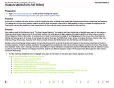
Human Migration Patterns
Humans have been on the move for millennia. Using an article from The Smithsonian, pupils chart human movement before written history on a world map. In addition, they examine the modes of transportation used by different waves of human...
Curated OER
Mapping China
Learners identify cities in China on a map. In this map skills lesson, students locate the continent of Asia and the country of China. Learners use a blank map to label China and bordering countries.
Curated OER
The Roman Empire-Map Activity
In this Roman Empire worksheet, students complete a map activity in which they label and color civilizations, countries and physical features as instructed. There are no maps included.
Curated OER
NATO Geography & Language
The class receives background information on NATO, an atlas, and a blank world map. They color the original 1949 countries in red, the 1952 additions in green, and the 1990 additions in blue. This exercise would be a good starting point...
Curated OER
Africa: Political Map
Students create a political map for Africa. In this country identification lesson, students locate Africa on a globe and discuss some of its major countries and bodies of water. Students complete a political map of Africa and test...
Curated OER
Voyage to the New World
Students examine the exploration of the New World. They write a descriptive account of the first encounter between Europeans and Native Americans, analyze and label maps, plot Columbus's journey on a map, and write a chapter summary.
Curated OER
Causes of World War One Question Overview
In this causes of World War I instructional activity, students respond to 14 fill in the blank questions and complete a graphic organizer. A word bank and glossary are provided.
Curated OER
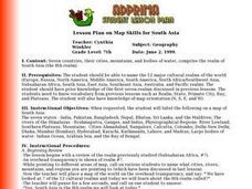
Lesson Plan on Map Skills for South Asia
Seventh graders observe and discuss an overhead transparency map of South Asia. In small groups, they label a blank map of South Asia, and listen to a lecture on the realm.
Curated OER
Roman Empire: Physical Framework - Location, Borders, Dimensions
Students relate the classical world to the modern world. In this map skills lesson, students turn a blank map into a colorful complete map by following step-by-step directions. This lesson allows students to connect our current geography...
Curated OER
Geography: Mapping Newspaper Coverage
Students examine the locations of stories appearing in newspapers and determine where to assign reporters. Using various maps, they connect the stories to the correct maps and create charts of the story locations. Students explain their...
Curated OER
Around the World in 5 Days
Students explore continents, draw map, discuss cultures, use research to learn geography, and investigate cultures.
Curated OER
Where In the World Are You?
Fourth graders fill in blank copies of the United States Map and then the World Map.
Curated OER
Me On the Map
Second graders listen to Joan Sweeney's book, Me On the Map. They design a map of their bedroom and their house emphasizing the important characteristics.


