Curated OER
Victory in the Pacific
Students explore the overall Allied strategy in the Pacific from 1943-1945 and assess its effectiveness. They explore the reasons why the atomic bomb was used and why use of that weapon was controversial.
Curated OER
REFINEMENT IN DEERFIELD AS EXEMPLIFIED IN THE VISUAL IMAGE OF THE TOWN
Students study how Deerfield became prosperous because of the river trade and improved agricultural practices. They make connections between the changing ideals of "decencies" of life, new modes of behavior, and consumption.
Curated OER
Railroads in Antebellum Augusta and Franklin Counties
Eleventh graders are divided up into groups and work on separate worksheets. They reassemble as a class and discuss the different articles and how the railroads affected people's lives.
Curated OER
Learning About Guatemala Through Its Kites
Students are introduced to Guatemala and to the tradition of giant kites. They decorate the kite sail and construct the kite. Students identifies possible causal factors contributing to given historical events.
Curated OER
Salmon Run
High schoolers examine the life cycle of the Pacific salmon and the impact of humans on salmon migration. They watch a Powerpoint presentation, trace migration routes on satellite imagery, and complete mock calculations of salmon energy...
Curated OER
Read All About It
Students investigate the concept of conducting research to create a newspaper. They use tools of research to gather information. The information is interpreted while working in small groups. Then the groups write articles that can be put...
Curated OER
Honduras: Going Bananas
Middle schoolers explore the popularity of bananas. They conduct a survey to understand the reasons for their popularity. Students research a banana's journey from the farm to school lunch. They compose a children's book about bananas...
Curated OER
Mexico: A Look At Its Culture and Geography
Students canvass the Mexican geography, culture, dress, language, crafts, and traditions in this unit of eight lessons. The Mexican Independance Day is compared to our own and the contributions of the Mayan, Azetec, and Spanish are...
Curated OER
Immigration in the Connecticut River Valley
Students discuss and compare immigration during the 18th century to the Connecticut River Valley to that in America during the turn of the century.
Curated OER
A Dream and an Idea: Searching for a Roadmap to Create a Country
Students compare and contrast opposing visions of government held by the founding fathers. They evaluate the roles of historical leaders in shaping the U.S. as an emerging nation.
Curated OER
Using Solar Energy
Students experiment to determine the effect of solar energy on the temperature of water. In this renewable resources lesson, students measure the temperature of water in a flask that is exposed to sunlight. They relate their results...
Lonely Planet
Lonely planet.com: Color Map of Nicaragua
This site has a great full color map of Nicaragua complete with cities, rivers and lakes detailed. Or you can choose the "zoom out" feature and see all of Central America and the Caribbean.
Other
Map Town: Maps for Central America
Here are all seven Central American countries plus Mexico at a glance. Study a map or just general information about one of the countries.
Lizard Point Quizzes
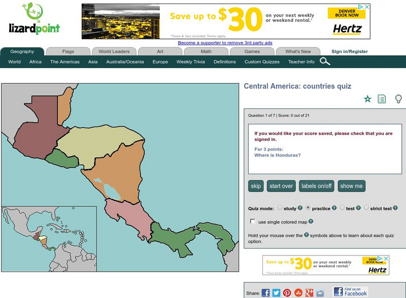
Lizard Point: Central America: Countries Quiz
Try this interactive geography quiz which tests your knowledge about the countries of Central America.
University of Texas at Austin
Perry Castaneda Library Map Collection: Americas Historical Maps
This collection from the University of Texas Library Online of historical maps contains a wide variety of maps from various parts of the continent and from different parts of history. Each map is accompanied by a brief description and is...
Adventure Learning Foundation
Adventure Learning Foundation: Costa Rica
Comprehensive reference tool with an abundance of country specific information about the Central American country of Costa Rica. Content covered includes photos, symbols, history, economy, geography, climate, population, culture, maps,...
Adventure Learning Foundation
Adventure Learning Foundation: Panama
Comprehensive reference tool with an abundance of country specific information about the Central American country of Panama. Content covered includes photos, symbols, history, economy, maps, and lesson plans.
Geographyiq
Geography Iq: Guatemala
It's easy to explore the Central American country of Guatemala through "Facts at a Glance." Discover information about geography, culture, economy, government, climate, and more.
Geographyiq
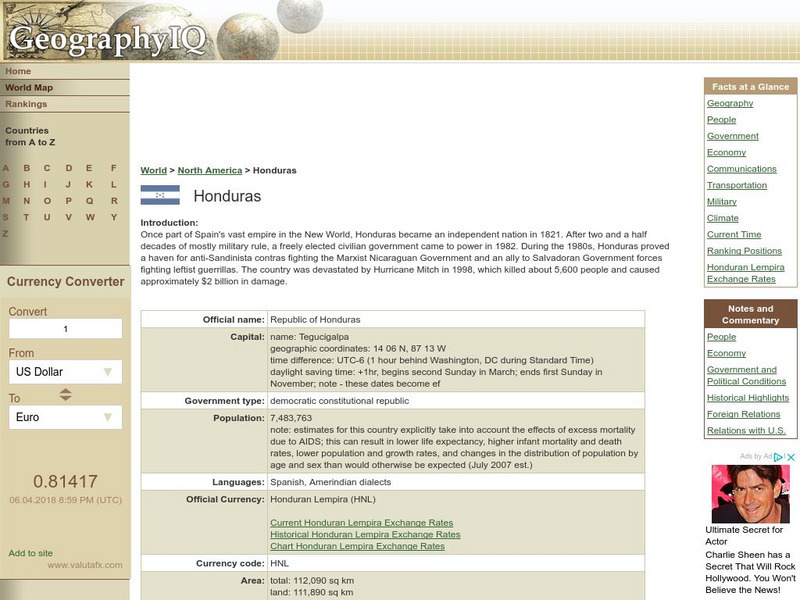
Geography Iq: Honduras
A detailed and exhaustive resource for finding much information on the Central American province of Honduras. Organized by quick facts that are shown in chart form or longer commentaries.
Other
Belize National Parks, Wildlife Sanctuaries, Monuments, Natural Reserves
This site has links to all of Belize's parks and reserves, listed alphabetically. Plus links to maps. Gives good cautionary hints and tips when in the parks.
University of Regina (Canada)
University of Regina: Math Central: Map of First Nations Peoples Pre Contact Culture Areas
A color coded map of North America which contains the regions inhabited by different aboriginal nations.
University of Oregon
Mapping History: Latin American History
Interactive and animated maps and timelines of historical events and time periods in Latin American history from 1898 to 2000.
PBS
Pbs: American Experience: Eyes on the Prize: School Desegregation, 1957 1962
As part of a much larger site from PBS' American Experience's series, Eyes on the Prize, look through this multifaceted site that traces the resistance to implementing school desegregation ordered by the Supreme Court and shows the...
University of Texas at Austin
Lanic: Latin American Network Information Center
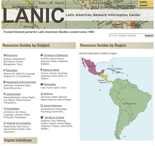
Vast network of information from and about Latin America is provided. Major topic headings include countries, economy, education, government, humanities, science, social sciences, society and culture, recreation, media and communication,...

