Hi, what do you want to do?
Curated OER
Scrambled States
Students read or are read the story "Scrambled States". Using a map, they identify their states and time zones. They predict their states representation in the book and discuss it after the book is finished. They discvor the differences...
Curated OER
Barriers to Change: The Myths about Vehicle Idling
Students have the opportunity to confront some of the most common misconceptions that surround vehicle idling, and employ the concept of social marketing to initiate change. The goal is to give students an appreciation of the impact of...
Curated OER
Roaming Biomes
Students use the Internet to research the capabilities of earth-observation satellites. Using the information, they write a report on how remote-sensing technology is used to measure the impact of climate change. They identify the...
Curated OER
Location of Cities 201
Students work in pairs to locate the ancient cities on a world atlas using the longitude and latitude measurements. They examine the physical and human futures that explain their locations.
Curated OER
Geography of Korea
Students are introduced to the geography of Korea. Using the internet, they identify the weather and climate in the country and create a week weather chart for Korea's four seasons. They complete an interview with a local weatherman...
Curated OER
Seed Selection for Genetic Variation
Students will research the origin of corn, analyze factors that contribute to shorter and longer growing seasons, and use the scientific method to answer the question: Did seed selection contribute to the successful movement of corn from...
Curated OER
Treasure Hunt Region
Learners are introduced to new geography related vocabulary words. In groups, they focus on a different region of the school and develop a new name for it. They create a treasure map for another group to use in the region of the school...
Curated OER
Mississippi’s Contribution to Space Exploration
Eighth graders engage in a class discussion while going through a PowerPoint on Mississippi's contribution to space exploration. In this Space science lesson plan, the students will also participate in Brain Pop quizzes where they will...
Curated OER
Cartographer on Assignment: Creating a Physical Map of Africa
Students use geographic information to make an outline map of Africa, then demonstrate their understanding of the physical landscape of Africa by using a variety of materials to create a physical map of Africa
Curated OER
Elements of Biology: Biomes
High schoolers describe the different types of biomes. In this biology lesson, students create a map of assigned biome with descriptive paragraphs. They share their findings to class.
Curated OER
Atmospheric Cells
Students recognize that the sun is the source of energy driving atmosphere cells. They relate the motion of the atmospheric cells to mantle convection cells. Students recognize that the function of atmospheric cells is to move heat from...
Curated OER
Picnic Possibilities
Fourth graders plan a picnic using weather data. Using accumulated weather data from various sources, they create a graph of the weather conditions in their region for a given period of time. Students interpret this data to predict the...
The Wonder of Science
The Wonder of Science: 3 Ess2 2: World Climates
Work samples, phenomena, assessment templates, and videos that directly address standard 3-ESS2-2: world climates.
PBS
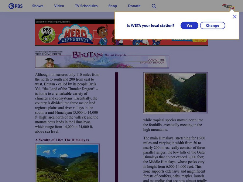
Pbs Bhutan & the Himalayas: A Wealth of Life
PBS provides a general overview of the geography of Bhutan and the Himalayas, highlighting Bhutan's natural regions as largely unexplored. Includes linked pages to the various climatic zones of the Himalayan region.


