Curated OER
How High Is That?
Students explore the National Spatial Reference System. In this vertical position lesson, students will discuss the use of vertical position data and solve practical problems involving geographic positioning.
Polar Trec
Playground Profiling—Topographic Profile Mapping
The Kuril islands stretch from Japan to Russia, and the ongoing dispute about their jurisdiction prevents many scientific research studies. Scholars learn to create a topographic profile of a specific area around their schools. Then they...
Curated OER
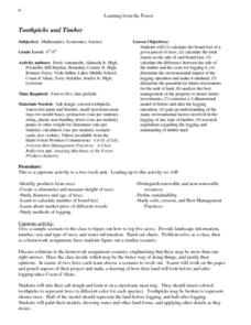
Toothpicks and Timber
Young scholars problem-solve how to log five acres. Working in pairs, they construct models of logging sites before and after the trees are harvested. they paint their models and include other environmental details.
Curated OER
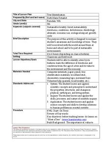
Tree Identification
High schoolers list four ways to identify trees. In this tree identification instructional activity, students use tree identification techniques such as leafs, bark, wood grain, soil type, and climate to create tables and graphs.


