Science Buddies
Science Buddies: Career Profile: Soil and Water Conservationist
Soil and water conservation are important in the protection of the earth's natural resources. Read about the careers that study and encourage conservation. Find out about the educational requirements necessary to become a soil or water...
Pamela Seed
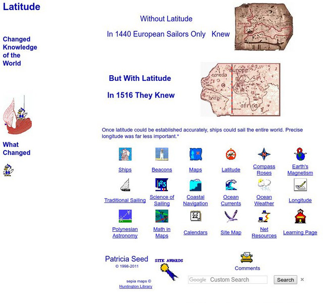
Rice: Latitude: The Art and Science of 15th Century Navigation
This is a great site to read about how navigation began in Europe and what tools were used. Make sure to read the segments on coastal navigation, maps, and ocean currents.
Other
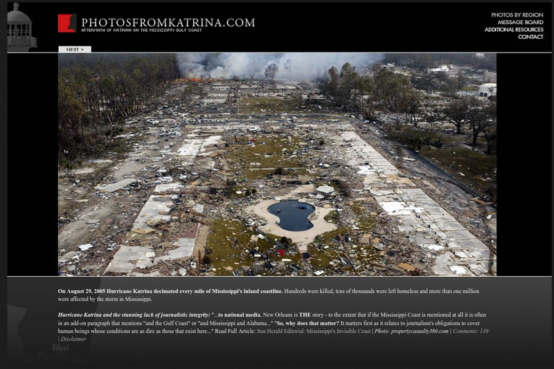
Aftermath of Katrina on the Mississippi Gulf Coast
Large, high-quality images of Hurricane Katrina's effects on coastal Mississippi. Allows regional sorting and includes maps and before-and-after photographs.
Columbia University
Nasa: Sedac: Population, Landscape, and Climate Estimates
[Free Registration/Login Required] A huge resource for researchers without GIS capabilities who need data on population and land area by country across a range of physical characteristics. These include measures such as the number of...
Other
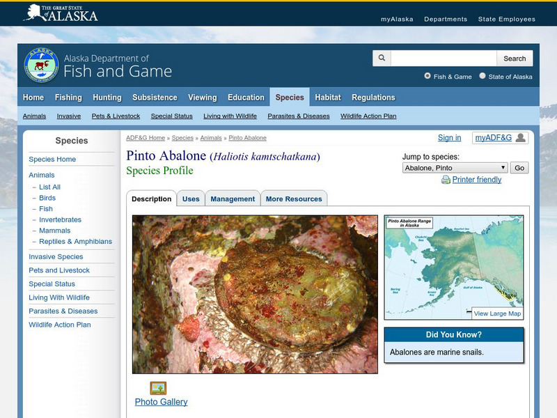
Alaska Department of Fish and Game: Pinto Abalone
Tab through the contents of this site to learn about the Pinto Abalone, which is native to the coastal waters of southern Alaska.
Library of Virginia
Virginia Memory: Blank Space: Mapping the Unknown
How did early maps show the mapmakers' perception of the known world? Early mapmakers used maps drawn from coastal explorations, land travels, and even information heard word of mouth from American Indians or from colonists or traders....
Science Education Resource Center at Carleton College
Serc: Lab 5: Trouble in Paradise: Factors That Impact Coral Health
Students examine the status of coral reefs around the world using an online geographic information system (GIS). They also investigate some of the major factors that disrupt corals-watersheds, exploitive fishing, coastal development, and...
South Carolina Educational Television
Etv: Gullah Net: Gullah Music
Explore aspects of African music as reflected in the songs and music of slaves who lived in coastal South Carolina.
Library of Congress
Loc: Civil War Maps
The Library of Congress provides a large collection of maps dating back to the Civil War. The collection consists of reconnaissance, sketch, coastal, and theater-of-war maps which depict troop activities and fortifications during the...
NOAA
Noaa: Center for Tsunami Research
National Oceanic and Atmospheric Administration's site for tsunami research of improved measurement technology, development and implementation of improved models and improved methods to predict tsunami impacts on the population and...
Other
California State University: Topographic Map Symbols
Click on any of the geographical terms on this website to see examples that illustrate the symbols commonly used on maps. Includes boundaries, building symbols, caves, mines, elevation symbols, coastal features, and more.
Science Education Resource Center at Carleton College
Serc: Lab 6: And on His Farm He Had Some Fish
A lab experiment in a series of experiments that investigates fisheries. In this particular lab, students learn about the aquaculture methods by analyzing FAO aquaculture data. They will also investigate the change to coastal landscapes...
Other
Us Government: Restore the Gulf
Since the oil well has been shut down, attention turns to the restoration of the Gulf with regard to wildlife, the impact on the sea and coastal areas, travel and tourism, filing a claim for damages, and a return to normal life for...
Curated OER
University of Texas: Papua New Guinea: Relief Map
A relief map of the islands of Papua New Guinea showing both the mountainous regions and coastal plains. Clicking on the map will enlarge it. From the Perry Castaneda Collection.
Globe
The Globe Program: Climate Module
Climate change affects the whole world, from the tropics to the poles. Through learning activities, students learn how weather over a long period of time describes climate, explore how sea level rise can affect coastal communities and...
Nature Conservancy
The Nature Conservancy: Nature Lab
These wonderful virtual field trips allow students to explore a coastal rain forest or the coral reefs in the Dominican Republic, and so much more.
Other
Great Lakes Now Virtual Field Trip
Embark on a virtual field trip that covers three main components: coastal wetlands, algae, and lake sturgeon. The videos are short and targeted at middle schoolers.
Curated OER
National Park Service: Tour of Park Geology: Shoreline Geology
Learn about the National Parks that are located on a coast with this website. Website contains links to the 97 National Parks that include a shoreline.
Curated OER
National Park Service: Cwsac: Civil War Battle Summaries: Lower Seaboard Theater and Gulf
Here you will find a listing of all the engagements in the Lower Seaboard Theater and Gulf Approach campaigns in the Civil War. Hyperlinks take you to descriptions of the individual engagements.
Other
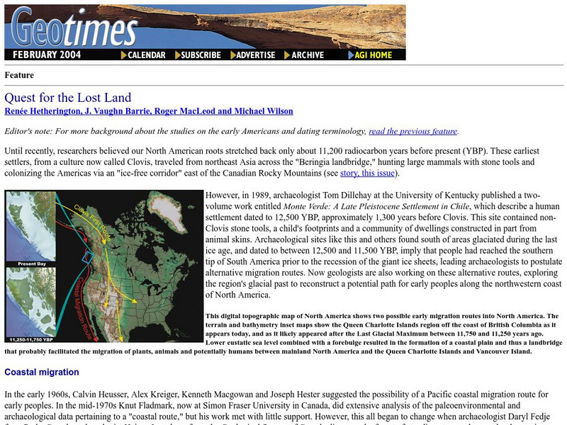
Geo Times: Quest for the Lost Land
A discussion of a migration theory of Paleoindians that went down the west coast of North America. Read about food sources, the geology, and the research behind the theory.
Gulf of Maine Research Institute
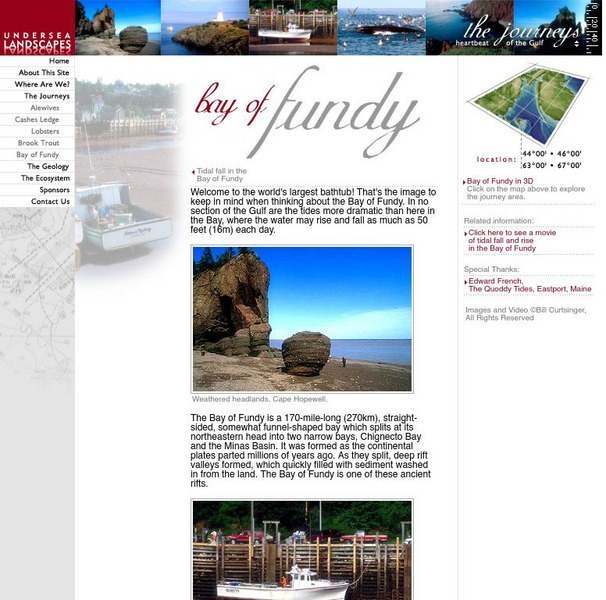
Gulf of Maine Research Institute: Undersea Landscapes: Bay of Fundy
Use this site to learn more about bays by discovering the Bay of Fundy. Read about this interesting place and view pictures of this beautiful bay.
BBC
Bbc Nature: Wildlife: Shallow Seas
Investigate the fascinating world of the shallow seas and discover what lives and grows there through pictures, news, and external links.
Curated OER
National Park Service: Lewis and Clark Expedition: American Indians
Read about the various Native American tribes encountered by the Lewis and Clark Expedition.
National Humanities Center
National Humanities Center: Teacher Serve: Paleoindians and the Great Pleistocene Die Off
Article discusses Paleoindian migration and animal extinction at the end of the Pleistocene era and explores what we can learn about conservation given what we know about Pleistocene climate and extinction.
Other popular searches
- Coastal Erosion
- Coastal Zones
- North Carolina Coastal Plain
- Coastal Management
- Coastal Plants and Animals
- Coastal Climate
- Coastal American Indians
- Coastal Change Analysis
- Coastal Monitoring
- Coastal Ecosystems
- Coastal Area
- Coastal and Marine Resources
