Curated OER
Who Has the Data? Monitoring Coral Reefs
Students access data to characterize coral reefs. For this scientific research lesson, students access data and explain the need for such data when monitoring coral reefs. They will identify and explain three major threats to coral reefs.
McAuliffe-Shepard Discovery Center
Global Warming in a Jar
This well-organized lab activity introduces earth science pupils to the greenhouse effect. They will set up two experiments to monitor temperatures in an open jar, a closed jar, and a closed jar containing water. Ideally, you would have...
Curated OER
Coastal Development
Learners examine how a coastal area changes after it has been developed. They discover the impact of development on the environment. They illustrate their own non-developed area and change it into a developed area.
Curated OER
Conductivity - Pass the Buoy and Pepper, Please
Buoys around our coastlines are equipped with sensory devices which monitor temperature, salinity, and water pressure. Emerging earth scientists examine some of this data and relate salinity to the electrical conductivity of the surface...
Curated OER
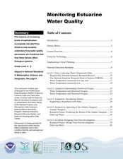
Monitoring Estuarine Water Quality
Students analyze water quality data from real data. In this environmental science instructional activity, students examine how salinity and dissolved oxygen affect the living organisms in the estuary. They interpret graphs to support or...
Curated OER
Coastal Weather Issues: Planning for a Hurricane
Seventh graders utilize internet resources to gather, analyze, and interpret hurricane data. They develop a public information booklet that be used as a guide for the community to use when preparing for a hurricane.
Curated OER
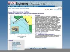
Marine Animal Tracking
Students engage in a activity which serves as an introduction to the ideas and implications of animal tracking. They monitor animal foraging behavior on a spatial scale. The students break into groups and track each other's movements as...
Space Awareness
Oceans on the Rise
Temperature rises and land disappears! Through a lab exploration, learners understand the effect of temperature increase on water similar to the effect of global warming on our oceans. As they heat the water in a flask, they measure the...
Curated OER
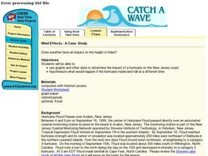
Wind Effects- A Case Study
Students explore hurricanes. In this weather data interpretation lesson, students draw conclusions about the impact of Hurricane Floyd as it related to weather conditions. Students read and interpret a tide data table, a barometric...
Curated OER
Coral Bleaching in the Caribbean
Students practice analyzing images, maps and graphs from Internet-based educational resources. They explore the correlation between sea surface temperature and coral bleaching. Students comprehend that coral reefs are collections of tiny...
Curated OER
Motion in the Ocean
How does the formation of currents and waves in the ocean happen? High schoolers will learn about the primary causes for ocean currents and waves by calculating a wave's amplitude and nautical mile speed. Then they will complete a...
Curated OER
What's Down There?
Investigate the coral reefs around Mokolai Island, Hawaii by researching and writing about improving the reef ecosystem. Students map threats to the ecosystem and use the list of key words to assist in their descriptions
NASA
Erosion and Landslides
A professional-quality PowerPoint, which includes links to footage of actual landslides in action, opens this moving lesson. Viewers learn what conditions lead to erosion and land giving way. They simulate landslides with a variety of...
Curated OER
Marine Life Protected Areas in the O.C.
Students research a Marine Protected Area and determine the species' that benefit from its protection. In this marine lesson students present their findings to the class using PowerPoint.
Curated OER
Landforms: Geomorphology of Arkansas
Second graders create large, salt dough maps of Arkansas and the natural regions in the state created by geographical and morphological features.
Curated OER
What's A Water Column Profile?
Students investigate water column data. In this earth science and seawater lesson, students determine how temperature, salinity, and density have an impact on sea water by viewing and analyzing data obtained from a number of websites....
Curated OER
Eyes on the Estuaries
Students study estuaries and compare several ones in the U.S. In this estuary activity students interpret data and compare the distribution of different species.
Curated OER
Oil Spill Dangers
Students analyze the effects of oil spills on our environment and develop action plans to protect animals and habitats.
Curated OER
Life In the Flood Zone
Students discover how floods occur by visiting the Weather Channel's website. They examine the areas of the United States which are more vulnerable for flooding. They research the history of previous floods and how to protect themselves.
Curated OER
Quiz: Weather Prediction
In this science worksheet, 3rd graders will focus on the weather. Students will respond to ten fill in the blank questions regarding weather prediction.
Curated OER
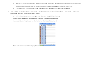
Using SWMP Data
Students are introduced to the SWMP system which tracks short-and long-term changes in water. Using this data, they plot and interpret the data on a graph to determine how human activities are lowering the water quality. They also...
Curated OER
Roaming Biomes
Students use the Internet to research the capabilities of earth-observation satellites. Using the information, they write a report on how remote-sensing technology is used to measure the impact of climate change. They identify the...
NOAA
Noaa: Estuaries 101 Curriculum: Seasonal Swings
Students use an interactive map to compare environmental conditions in different estuaries around the National Estuarine Research Reserve System. A second activity allows students to use the Graphing Tool to find, select, and graph data...
Other
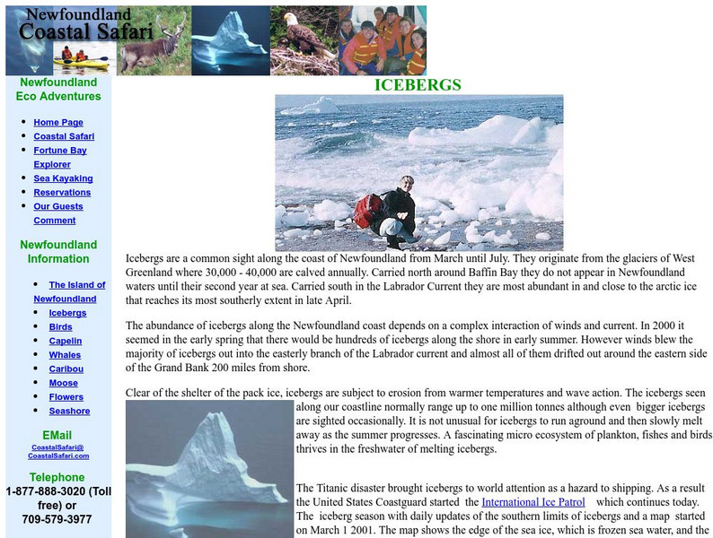
Newfoundland Coastal Safari: Icebergs
Discusses the icebergs which are formed off the coast of Greenland and flow through the Northern Atlantic. Contains a link to the International Ice Patrol, a Coast Guard project to monitor large icebergs.


