University of Calgary
University of Calgary: Africa the Search for Gold and Slaves
Historical background of the reasons for European exploration of Africa. Tutorial Links to further European trade and exploration.
CRW Flags
Flags of the World: Togo
This site from Flags of the World provides a large flag of Togo with an explanation of the flag and a short history of the country.
Ducksters
Ducksters: Geography for Kids: Gambia, The
On this website, kids learn about the history, capital, flag, climate, terrain, people, economy, and population of Gambia,
Ducksters
Ducksters: Geography for Kids: Guinea
A site for students to find information about the history, capital, flag, climate, terrain, people, economy, and population of Guinea.
Ducksters
Ducksters: Geography for Kids: Sao Tome and Principe
Kids learn about the geography and history of Sao Tome and Principe. The history, capital, flag, climate, terrain, people, economy, and population are all on this site.
Travel Document Systems
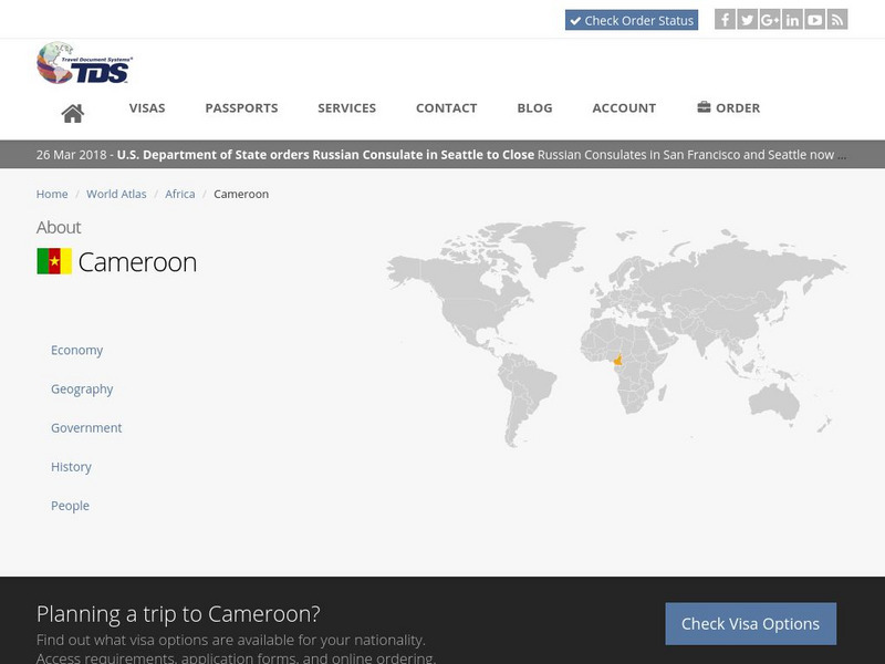
Tds: Cameroon: Geography
A graphic listing the important components of Cameroon's physical environment. You can find out about the climate, terrain, natural resources, and environmental concerns. Information is from the CIA World Fact Book.
Travel Document Systems
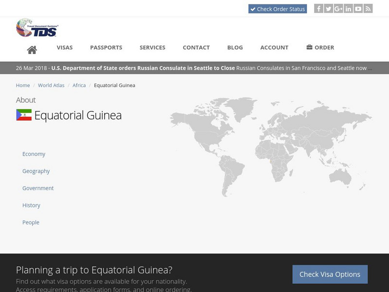
Tds: Equatorial Guinea: Geography
Equatorial Guinea is made up of islands and a continental region. Read about the land forms on each. Information is from the CIA World Fact Book.
Travel Document Systems
Tds: Guinea Bissau: Geography
A graphic showing facts about Guinea-Bissau's size, climate, terrain, land use, and environmental concerns. Information is from the CIA World Fact Book.
Travel Document Systems
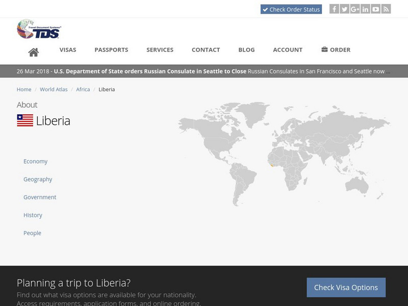
Tds: Liberia: Geography
A graphic showing geographical information about Liberia. You can find out about its size, climate, land use, and terrain. Information is from the CIA World Fact Book.
Travel Document Systems
Tds: Mauritius: Geography
A graphic showing the terrain, climate, and natural resources of Mauritius. Information is from the CIA World Fact Book.
Travel Document Systems
Tds: Mozambique: Geography
A graphic showing the various aspects of the physical environment of Mozambique including its area, climate, terrain, and natural resources. Information is from the CIA World Fact Book.
Travel Document Systems
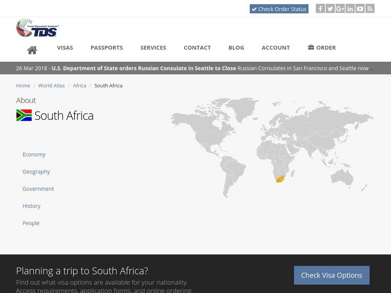
Tds: South Africa: Geography
A graphic showing the various aspects of the physical environment of South Africa including its climate, terrain, and natural resources. information is from the CIA World Fact Book.
Travel Document Systems
Tds: Gabon: Geography
A graphic giving information about the various elements of Gabon's physical environment. Find out about the climate, terrain, and natural resources. Information is from the CIA World Fact Book.
Other
Sut: Careers in Underwater Technology
Are you interested in an ocean related career? Explore the variety of career opportunities that are available in underwater technology.
Travel Document Systems
Tds: Madagascar: Geography
A graphic showing the various aspects of the physical environment of Madagascar including the climate, terrain, natural resources, and environmental issues. Information is from the CIA World Fact Book.
ClassFlow
Class Flow: Texas Regions
[Free Registration/Login Required] Students will identify 7 major Texas regions. The flipchart has links to the Texas Parks and Wildlife website with characteristics of each region. There are 20 Activote assessment questions at the end...
US Geological Survey
Usgs: Earth Surface Dynamics (Research Activities)
This site from USGS provides several activities to help understand the interrelationships among earth surface processes, ecological systems, and human activities. Also included are links to new findings and programs concerning Earth...
Other
St. Johns River Water Management: Games: What's Wrong With This Picture? [Pdf]
Protect the waterways in Florida by hunting for eight items in the picture that hurt the environment and then try your hand at the puzzles that follow.
Ducksters
Ducksters: Geography for Kids: Benin
Explore the history, capital, flag, climate, terrain, people, economy, and population of Benin on this site.
Ducksters
Ducksters: Geography for Kids: Guinea Bissau
Explore this website to find out about Guinea-Bissau's history, capital, flag, climate, terrain, people, economy, and population.
Curated OER
Merriam Webster: Visual Dictionary Online: Types of Shorelines
Labeled diagram of different types of shoreline formations.
Curated OER
Educational Technology Clearinghouse: Maps Etc: South China, 1971
"South China comprises the drainage basins of the middle and lower Yangtze River, the basin of the His Chiang (West River) in Kwangtung and Kwangsi; and the mountainous coastal provinces of Fukien and Chekiang. The division between the...
Curated OER
Etc: Maps Etc: Relief of the United States, 1904
A relief map from 1904 of the United States showing the mountain systems and highlands, plateaus, plains, lakes, rivers, and coastal features. This map divides the area into the main groups of the St. Lawrence Basin, Allegheny Region,...
Curated OER
Educational Technology Clearinghouse: Maps Etc: Annual Rainfall in Africa, 1920
A map from 1920 of Africa and Madagascar showing the mean annual rainfall distribution given in inches, seasonal variations in precipitation, and seasonal costal wind direction. The map is color-coded to show annual precipitation ranging...
Other popular searches
- Coastal Erosion
- Coastal Zones
- North Carolina Coastal Plain
- Coastal Management
- Coastal Plants and Animals
- Coastal Climate
- Coastal American Indians
- Coastal Change Analysis
- Coastal Monitoring
- Coastal Ecosystems
- Coastal Area
- Coastal and Marine Resources


