Hi, what do you want to do?
Curated OER
Using Oral History to Understand Immigrant History
Students use oral history to comprehend how life chaned for men, women, and childern when they immigrated to the United States. Students conduct interviews with immigrants in an attempt to interpret hardships, lifestyles, careers, and...
Curated OER
Bill of Rights -- Texas v. Johnson, 1989
Students examine the First Amendment of the Bill of Rights. During a visit to the George Bush Presidential Museum, they watch a video about the Texas v. Johnson flag burning case. In groups, they discover the role of the Supreme Court...
Curated OER
Find the Oldest
Students track down their town's oldest standing man-made landmark. By learning more about the oldest structure in their area (whether it's a church, store, graveyard, bridge, etc.), they discover interesting details about their town's...
Curated OER
Inter-City Jazz Songbook Project
Students choose a city with famous musical highlights and create a tourist brochure.
Curated OER
Camp Stark, New Hampshire, World War II Prisoner-of-War Camp
Students examine the political, personal, and geographical boundaries created by World War II to the citizens and prisoners of war at Camp Stark.
Curated OER
Competing National Stories in Tibet
Young scholars research the Tibetan conflict from the point of view of both Tibet and China. They review resources produced by both factions and then apply these skills to consider other competing national stories.
Curated OER
Iowa Agriculturist
Tenth graders review the Iowa Agriculturist, retell the annual and seasonal cycle of farming and describe pioneer farming practices.
Curated OER
The Study of the Spanish-Speaking People of Texas: Understanding Primary Sources
Learners analyze Russell Lee's photo essay as a sign of segregation in Texas. They consider the differences between primary and secondary sources and how historians use these sources.
Curated OER
Barefoot and Pregnant
Students address the problem of a reduction in the world population growth rate being offset by a growing world population base. This problem is particularly true with the rapid population growth in many Third World countries. The lesson...
Curated OER
A Sense of West Virginia
Students consider their perceptions of the world through their 5 senses while visiting the West Virginia State Museum. In this West Virginia history lesson, students discover how knowing about the past helps with their understanding of...
Curated OER
Volcanoes: Mount Vesuvius
Students explain how volcanoes form. In this earth science lesson plan, students identify the different types of volcanoes. They create brochures about Mt. Vesuvius before and after the eruption.
Curated OER
The Cities in Turkey
High schoolers discover the economies, demographics, and characteristics of some of the largest Turkish cities. They explore Istanbul's history, people, and what is enduring about the city. Student groups make a presentation to the class.
Curated OER
Networking at Early James Fort
Students examine the impact of global trade on regional civilizations of the world after 1500. They research and analyze images of pottery excavated at Jamestown, and create a poster that presents information about world trade networks...
Curated OER
Japan and Disputed Land
Students engage in a variety of activities to research the land disputes that Japan has had in the 20th century with its neighbors. They role play an interesting meeting with the United Nations and conduct research to answer questions.
Curated OER
Getting to Know You
Middle schoolers create a women's history trail. They interview residents of their local community. They create information brochures on different women as well.
Curated OER
Mississippi Delta Blues Moves: Second in a Series of Three with Barb Hoffman and Steve Hoskins, MGM
Young scholars complete a graphic organizer reviewing Barb Hoffman's prior lesson," Slave Songs (1840-1876)" as well as listen to and discuss Delta Blues music samples. Students research one Delta Blues singer and write a "color coded"...
Curated OER
Immigration in the Late 1800's
Seventh graders explore the progression of immigration patterns in the United States. They examine how immigrants perceived and adapted to the United States culture. Students discuss how immigrants were able to perserve their culture in...
Curated OER
Character in Leadership
Fifth graders inquire and research using secondary and primary resources. In this leadership traits unit, 5th graders investigate information about Harry S. Truman and present on his early life and leadership abilities....
National Geographic
National Geographic: Comparing Historical Maps
Consider the changes that occur in towns, cities, countries through viewing maps from hundreds of years ago and modern day.
National Endowment for the Humanities
Neh: Edsit Ement: Mapping Our Worlds
In this lesson, introduce your learners to the world of maps and discover a world of information online. Students learn how to identify different types of maps, comparing maps to the rooms of a house.
PBS
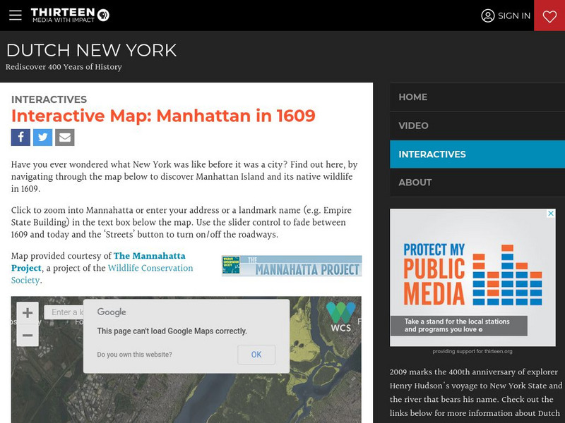
Wnet: Thirteen: Interactive Map: Manhattan in 1609: Dutch New York
Explore Dutch New York through this historical interactive map and learn what wildlife, landscape, and people lived there in 1609 compared with today. Click on 'Interactives' for additional resources, e.g., a 1626 letter from Peter...
PBS
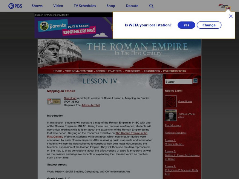
Pbs: The Roman Empire of the 1st Century: Mapping an Empire
In this lesson plan, students will compare a map of the Roman Empire in 44 BC with one of the Roman Empire in 116 AD. Using these two maps as a reference, students will use critical reading skills to learn about the expansion of the...
Bob Dunn
History Globe: The Oregon Trail: 1843 Map
Take a virtual tour of the historic Oregon Trail and see photos of the landmarks along the way. Compare the map of 1843 with a modern map of today.
Curated OER
Educational Technology Clearinghouse: Maps Etc: Pre Colonial Africa, 1872
A map of Africa showing the continent prior to the Berlin Conference of 1885, when the most powerful countries in Europe at the time convened to make their territorial claims on Africa and establish their colonial borders at the start of...


