Curated OER
Sea Connections: Marine Ecosystems
Young scholars identify producers and consumers from marine ecosystems and describe the balance among them in the environments. After constructing a food chain from a marine ecosystem, they examine human activities that can upset the...
Curated OER
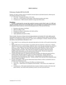
Moon Journal
Fourth graders observe Moon and its features, and record results both in written form and in a drawing on the given template.
Curated OER
Regolith Formation
Students explain the difference between regolith formation on Earth and the Moon. For this space science lesson, students model the different factors affecting regolith formation on Earth. They identify the different types of weathering.
Curated OER
Rock of Ages
Students are given a classification table and samples from their location. They locate their samples on the classification table using the characteristics used in rock identification.
Curated OER
Regolith Formation
Students study what regolith is and how it contrasts with weathering on Earth. For this weathering lesson students divide into groups, hypothesize and confirm their guesses.
Curated OER
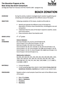
Beach Zonation
Young scholars investigate the characteristics of the beach environment and explore beach zonation. After gathering samples from different areas of the beach, young scholars discuss how the beaches work and the characteristic of each...
Curated OER
Regolith Formation
Students compare and contrast the process of regolith formations. In groups, students define regolith and discover how regolith is formed on the Earth and on the Moon. They participate in experimental activities to simulate regolith.
Curated OER
Chart Interpretation
Students study the use of a nautical chart and how to obtain information from it. They describe and differentiate the basic topographic characteristics of a chart and demonstrate the use of nautical tools used to plot fixed points on a...
Curated OER
Beach Zonation
Students identify and separate the different zones of the beach by observation. They investigate beach zonation by gathering and comparing sand samples gathered from different areas of the beach.


