Hi, what do you want to do?
Other
Connecticut Education Association
This state affiliate of the National Education Association provides information on the organization, membership and benefits, legislative initiatives, retirement, job vacancies, teacher evaluation, etc.
Other
University of Connecticut: Resources: Accessible Media and Multimedia
This resource provides help for making media and multimedia accessible to all. It includes checklists, information about best practices, and tips for social media. It covers audio, images, and video, and includes links to additional...
Other
University of Connecticut: Tools for Testing Web Accessibility
If you would like to test your website's accessibility prior to launching it, there are many resources available. This page lists a variety of accessibility checkers and provides a checklist for reference.
Other
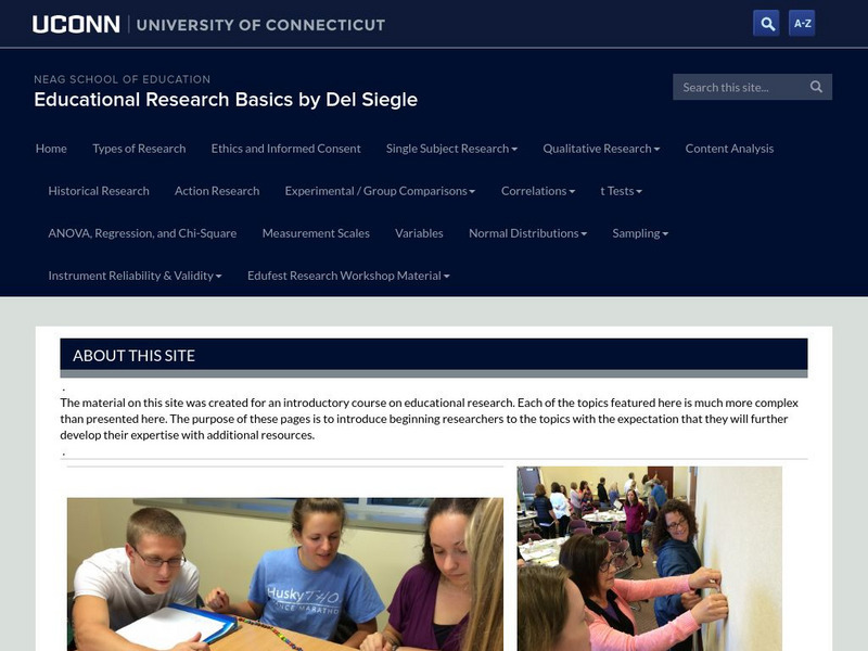
University of Connecticut: Educational Research Basics
A resource website for a beginning course in educational research. Covers a wide range of topics at an introductory level.
S.E. Schlosser
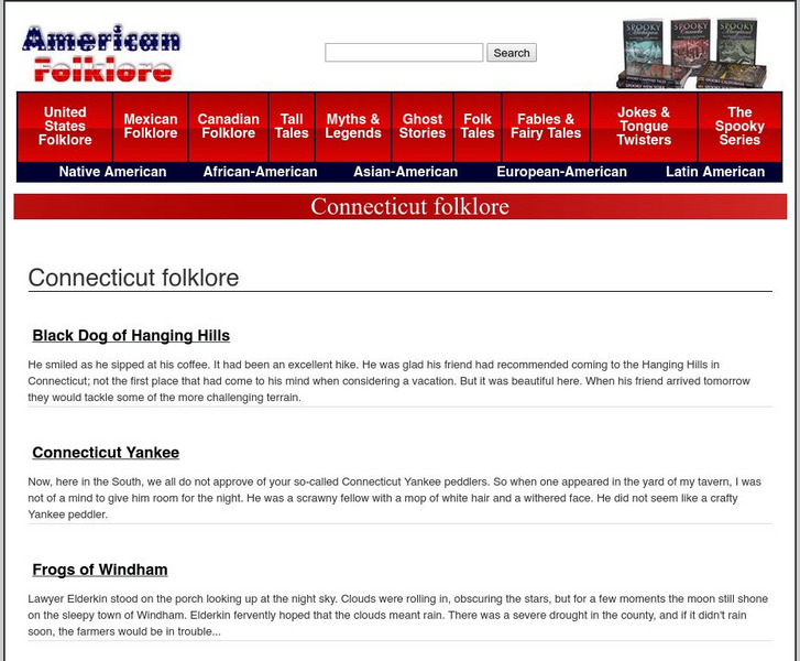
American Folklore: Connecticut Folklore
Read brief folktales, myths, and legends from the state of Connecticut.
50 States
50 States: Connecticut (Ct)
Find here a collection of links to information about the state of Connecticut. Categories include facts, government, geography, education, people, attractions, history, industry, and miscellaneous.
Open Library of the Internet Archive
Open Library: A Connecticut Yankee in King Arthur's Court
This ebook version of Mark Twain's A Connecticut Yankee In King Arthur's Court has been made available in multiple formats by the Open Library. Editions of the full novel, organized by year of publication, may be accessed here.
Encyclopedia of Life
Encyclopedia of Life: Connecticut Warbler
The Encyclopedia of Life presents this in-depth overview of Connecticut Warblers (Oporornis agilis), including their habitats, size, conservation status, and much more. Images of this species and maps of its global distribution can also...
Other
Prudence Crandall
A summary of the life of Prudence Crandall (1831-1890 CE), a human rights advocate who eventually established the first Black female academy in New England at Canterbury, Connecticut.
Louisiana Department of Education
Louisiana Doe: Louisiana Believes: English Language Arts, Grade 11: Connecticut Yankee
Students learn how changing worldviews resulting from industrialization and war led artists to find new ways of understanding the world. Students explore the concepts of tradition and change as they examine how authors use devices and...
Other
Connecticut Educational Media Association (Cema)
CEMA is an association of school library media specialists that seeks to promote "the general public educational library media programs in Connecticut" and encourage "professional development of media personnel and instruction." Its...
Texas Instruments
Texas Instruments: Connecticut Capt Practice Exams Science
Students can use these LearningCheck item banks to prepare for the following - Grade 10 Science exam.
Yale University
Yale New Haven Teachers Institute: Connecticut: A Case Study in Anti Imperialism
Lesson plan for 7th and 8th grade. Gives notes on imperialism, mercantilism and how Great Britain used the colonies as a source for raw materials.
Other
Connecticut Society of Sons of the American Revolution: The Price They Paid
Find out what really happened to the brave men who signed the Declaration of Independence. What has been put forth in popular literature is rebutted and explained through rigorous research.
Other
University of Connecticut: Genetic Drift
A Java simulation of genetic drift where users can select a starting allele frequency, population size, and a maximum number of generations. Simulation gives a graph that shows allele frequency versus generation number.
Other
Brain Injury Association of Connecticut
This resource provides a great graphical approach to providing information about traumatic brain injury. Recieve information about events, news, education, support services and more.
Other
Connecticut Deep: Loggerhear Sea Turtle
A full description of the endangered Loggerhead Sea Turtle including information about physical characteristics, habitat range, reproduction, threats to its survival, and conservation efforts to help the species.
Other
University of Connecticut: Asian History: Emperor Jimmu's Conquest of the East
Website on Asian history features information on the Emperor Jimmu and the conquest of the East.
Yale University
Yale University: Avalon Project: Colonial Charters, Grants and Related Documents
Click on Connecticut for a list of and links to the colony's earliest government documents establishing its laws, religious toleration, and means of taxation.
Other
Hartford Friends and Enemies of Wallace Stevens
This site is maintained by an organization in Hartford, Connecticut, Stevens' home town, devoted to promoting Stevens' poetry and contribution to the Hartford community. It contains a map and photos of the route Stevens walked to work...
C3 Teachers
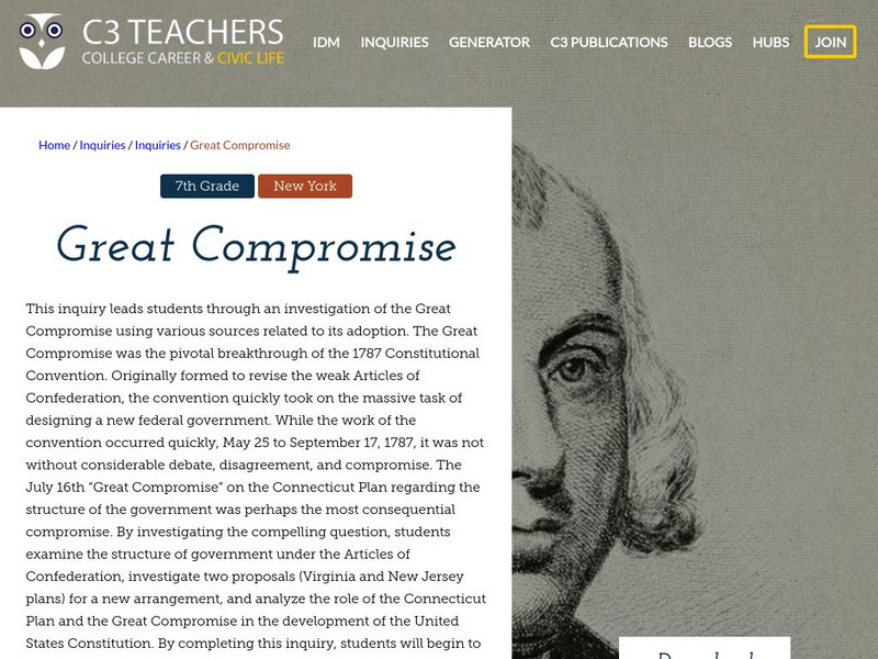
C3 Teachers: Inquiries: Great Compromise
A learning module on the Great Compromise and the role it played in developing the US Constitution in 1787. It includes several supporting questions accompanied by formative tasks and source materials, followed by a summative performance...
Curated OER
Educational Technology Clearinghouse: Maps Etc: Hartford, Connecticut, 1919
A road map of the vicinity of Hartford Connecticut from the Official Automobile Blue Book (1919), showing the Connecticut River, Capitol building, bridges, major roads, railroads and stations, parks, and major landmarks of the area.
Other popular searches
- State of Connecticut
- Connecticut River Valley
- Connecticut History
- Connecticut Families
- Animals of Connecticut
- Connecticut Map
- Connecticut River
- Colonial Connecticut
- Connecticut Cities
- Indians of Connecticut
- History of Connecticut
- Connecticut Yankee


