Hi, what do you want to do?
Curated OER
Wikipedia: National Historic Landmarks in Connecticut: Henry Barnard House
Home of educator instrumental in the development of the American public school system.
Curated OER
Wikipedia: National Historic Landmarks in Connecticut: Joseph Webb House
Site of the 1781 American Revolutionary War conference between General George Washington and French General Rochambeau.
Curated OER
Wikipedia: Natl Historic Landmarks in Connecticut: Portland Brownstone Quarries
These quarries, active since 1690, were the source of vast quantities of brownstone for New York City, Philadelphia, Boston, other urban areas' buildings.
Curated OER
Wikipedia: National Historic Landmarks in Connecticut: Yale Bowl
Bowl stadium, model for Rose Bowl and others. Home of the Bulldogs and The Game.
Curated OER
Wikipedia: National Historic Landmarks in Connecticut: Nautilus (Uss)
The world's first operational nuclear-powered submarine.
Curated OER
Wikipedia: National Historic Landmarks in Connecticut: Kimberly Mansion
Home of Abby and Julia Smith, suffragists who successfully fought the town of Glastonbury on the issue of taxation without representation.
Hartford Web Publishing
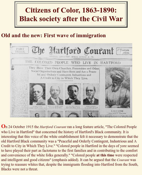
Hartford Black History Project: Citizens of Color: Black Society After Civil War
Discusses the history of the African American community in Hartford, Connecticut, in terms of the migration of former slaves to the city right after the end of the Civil War. Also discusses a second wave of migration as African Americans...
University of Groningen
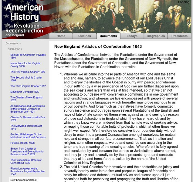
American History: Documents: New England Articles of Confederation 1643
View the complete text of the New England Articles of Confederation 1643, an alliance of the English colonies of Massachusetts Bay, Plymouth, Connecticut, and New Haven.
The Henry Ford
The Henry Ford: A Colonial Family and Community
Students are asked to be historical detectives. Using primary documents, they uncover information about the life and community of the Daggetts of northeastern Connecticut in the 1700s.
American Academy of Achievement
Academy of Achievement: Robert D. Ballard, ph.d.
Biography of Robert Ballard, a trained marine geologist who is famous for discovering the Titanic as well as his work in oceanic research. Today, he is resident of the Institute for Exploration in Mystic, Connecticut; Scientist Emeritus...
Curated OER
National Park Service: The Amistad Story
This highly informative site presents the story of the Amistad and the Mende Africans' legal battle and quest for freedom in Connecticut. Highlights the key players and the places they stayed at and attended.
University of Virginia
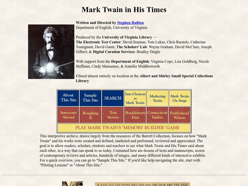
University of Virginia: Mark Twain in His Times
A comprehensive look at Mark Twain and many of his novels. "Innocents Abroad", "Tom Sawyer", "Huck Finn", "Connecticut Yankee", and "Pudd'nhead Wilson" are covered. Links are available to the full texts, illustrations, advertising and...
NSTATE
People of Connecticut: Charles Goodyear
At this site you can read about Charles Goodyear. This man invented the vulcanization of rubber in 1844.
NSTATE
People of Connecticut: Samuel Colt
A biography about the maker of the pistol with a revolving cylinder.
Curated OER
Etc: Maps Etc: Vicinity of New Haven and Hartford, 1858
A map from 1858 of the vicinity of Hartford on the Connecticut River. The map covers central Connecticut from Hartford south to New Haven, Litchfield to Bolton, and the Long Island Sound coastline from Fairfield to Saybrook.
Curated OER
Educational Technology Clearinghouse: Maps Etc: Norwich, 1919
A road map of the vicinity of Norwich Connecticut from the Official Automobile Blue Book (1919), showing the Thames and Shetucket rivers, bridges, major roads, railroads and stations, parks, and major landmarks of the area.
Curated OER
Educational Technology Clearinghouse: Maps Etc: New Haven, 1872
A map from 1872 of the city and harbor of New Haven, Connecticut on Long Island Sound, about seventy-five miles northeast from New York City, and thirty-four southwest from Hartford.
Curated OER
Educational Technology Clearinghouse: Maps Etc: New Haven, 1919
A road map of southern Connecticut in the vicinity of New Haven from the Official Automobile Blue Book (1919), keyed to show the best auto routes, other auto routes, unreported roads, railroads, and canals.
Curated OER
Educational Technology Clearinghouse: Maps Etc: New Haven, 1919
A street map of the business district of New Haven Connecticut, from the Official Automobile Blue Book (1919), showing the college campus and city hall, the suggested Blue Book routes in the city, and the streetcar lines and railroads.
Curated OER
Educational Technology Clearinghouse: Maps Etc: West Rock Ridge, 1911
A geologic map from 1911 of south-central Connecticut showing the displacement of trap ridges near northern end of West Rock Ridge and corresponding displacement in the crystallines of the bordering uplands.
Curated OER
Educational Technology Clearinghouse: Maps Etc: Vicinity of Hartford, 1872
A map from 1872 of the vicinity of Hartford and Wethersfield along the Connecticut River.
Curated OER
Educational Technology Clearinghouse: Maps Etc: Hartford and Vicinity, 1919
A road map of central Connecticut in the vicinity of Hartford from the Official Automobile Blue Book (1919), keyed to show the best auto routes, other auto routes, unreported roads, railroads, and canals.
Curated OER
Educational Technology Clearinghouse: Maps Etc: Manchester and Vicinity, 1919
A road map of central Connecticut in the vicinity of Manchester from the Official Automobile Blue Book (1919), keyed to show the best auto routes, other auto routes, unreported roads, railroads, and canals.
Curated OER
Educational Technology Clearinghouse: Maps Etc: Hartford Business District, 1919
A street map of the business district of Hartford Connecticut, from the Official Automobile Blue Book (1919), showing the Park River, Capitol building, the suggested Blue Book routes in the city, and the direction of travel on one-way...
Other popular searches
- State of Connecticut
- Connecticut River Valley
- Connecticut History
- Connecticut Families
- Animals of Connecticut
- Connecticut Map
- Connecticut River
- Colonial Connecticut
- Connecticut Cities
- Indians of Connecticut
- History of Connecticut
- Connecticut Yankee


