Hi, what do you want to do?
Other
New Britain Museum of American Art
New Britain Museum of American Art main page. Three Centuries of American art broken out into six era's. Under Education teachers can get lesson plans and learning activities for students like ABCs, puzzles and printable coloring book...
Kidport
Kidport: United States of America Geography
This site contains a fun way to learn about the states within the United States. Click on the state that you want to learn more about and it provides facts, geographic landmarks, points of interest, major industries, a quiz and more.
Yale University
Avalon Project: Fundamental Orders of 1639
The Avalon Project at Yale Law School presents the full text of the Fundamental Orders of 1639, including source.
Other
Mystic Seaport: The Museum of America and the Sea
The Mystic Seaport website not only provides information about the museum but also gives access to a wide range of online resources and digital exhibits all centered on America's seafaring past.
Digital History
Digital History: Representation: By State or by Population? [Pdf]
Read the opinions of some of the delegates to the Constitutional Convention in regard to the very thorny issue of how states would be represented in the national legislature. [pdf]
Digital History
Digital History: Dimensions of Change in Colonial New England
Dissension in Massachusetts Bay Colony resulted in the formation of other New England colonies. Read about their formations, and the impact on the Native Americans in the area.
Alberta Online Encyclopedia
Alberta Online Encyclopedia: Peter Pond
Peter Pond (1739-1807) was a great explorer and map maker during the expansion of the fur trade. He was an American and military officer before becoming a partner in the North West Company. Alberta Encyclopedia Online is an excellent...
PBS
Pbs: Culture Shock: Huck Finn in Context
This site features information on themes from Huck Finn. You will find activities and discussion questions to accompany the different sections.
Other
Memorial Hall Online Museum: In the Classroom
This site from the Memorial Hall Museum provides curricula, information and activities for teachers teaching social studies.
Stanford University
Stanford University: Early American Newspapers
This site from the Stanford University has an excellent listing of late 1700, early 1800 newspapers that were on the East Coast, and in the South.
Independence Hall Association
U.s. History: Constitution Through Compromise
Read about how compromises were reached at the Philadelphia convention that dealt with issues between large and small states, and slave and free states. Take the quick quiz to assess knowledge about the writing of the Constitution.
Other
Patterson: Sybil Ludington
A short biography of Sybil Ludington, known as the female Paul Revere. Sybil helped her father alert his troops of the attack on Danbury during the Revolutionary War.
Other
New York Public Library: Small Town America
This site provides pictures to help you understand the way of life during the turn of the twentieth century. Enter the collection and click on "Browse" for a drop down menu of collections of photographs of "street scenes in cities,...
Independence Hall Association
U.s. History: The Fight for Reproductive Rights
Along with demands for other rights in the 1960s and 1970s came the demand for reproductive rights. Read the development of ideas from the introduction of birth control pills in 1960 to the contentious Supreme Court ruling in Roe v Wade...
PBS
Nh Pbs: Nature Works: Estuaries
Learn more about estuaries when you visit this informative site. This resource provides locations of and weblinks to estuaries in the United States.
University of Groningen
American History: Biographies: Roger Sherman (1721 1793)
In 1723, when Sherman was 2 years of age, his family relocated from his Newton, MA, birthplace to Dorchester (present Stoughton). As a boy, he was spurred by a desire to learn and read widely in his spare time to supplement his minimal...
S.E. Schlosser
American Folklore: Tall Tales
This site provides brief tall tales from many different states. The site also provides what they all have in common.
Curated OER
What's Doing 'Round Connecticut Column August 23, 1964
This site has an interview with reporter Long John Wade who accompanied the Beatles on their First American Tour. This does not include a chronological account of the tour, but it does give interesting bits of information, a few...
Curated OER
What's Doing 'Round Connecticut Column October 4, 1964
This site has an interview with reporter Long John Wade who accompanied the Beatles on their First American Tour. This does not include a chronological account of the tour, but it does give interesting bits of information, a few...
Library of Congress
Loc: Biographical Directory of the u.s. Congress: Oliver Ellsworth
A brief biography of Oliver Ellsworth, the delegate from Connecticut to the Constitutional Convention. He also served as a senator and as a Chief Justice of the Supreme Court.
Other
Lyme Art: American Impressionism
This site gives a brief history of the American Impressionists who painted in Lyme, Connecticut.
Siteseen
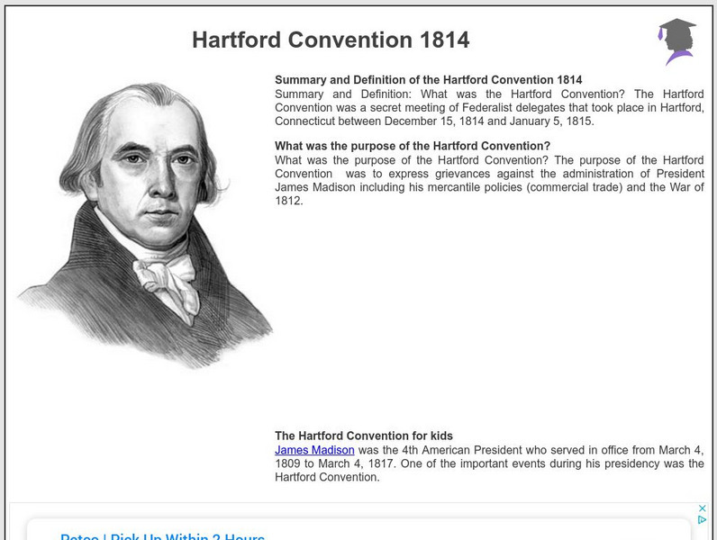
Siteseen: American Historama: Hartford Convention 1814
Comprehensive resource provides details of the secret meeting of Federalists in Hartford, Connecticut.
CRW Flags
Flags of the World: Clickable Map of the United States
Includes both printable images and fascinating trivia behind the flag of each state. It includes alternate flags used in the past.
Native American Art and Technology
Native Tech: Native American Technology and Art
Informational site discusses the technology of Native American crafts and the meaning of those crafts. Touches on everything from pottery to clothing.
Other popular searches
- State of Connecticut
- Connecticut River Valley
- Connecticut History
- Connecticut Families
- Animals of Connecticut
- Connecticut Map
- Connecticut River
- Colonial Connecticut
- Connecticut Cities
- Indians of Connecticut
- History of Connecticut
- Connecticut Yankee


