Hi, what do you want to do?
Curated OER
Color Enhanced Maps
Students download or create maps with numerical weather data. They add isolines and color to create regions on their maps. They explore the visual properties of color palettes and create a visualization applying their knowledge.
Curated OER
Mapping the Ocean Floor
Students study the bottom structure of underwater habitats and how they can be mapped.
Curated OER
Living in the Oak Woodlands: Early People of the Jewett Mine Area
Students are introduced to the early peoples living in the Jewett Mine area. After viewing transparencies, they view pictures of the mine today and its main area of production. For each picture, they develop symbols and captions about...
Kinder Art
Kinder Art: Drawing (Lesson Plans)
Forty creative lesson plans on drawing for students of all ages! Each one gives an example, a list of materials, and step-by-step directions. Many of the activities also provide a list of books, vocabulary, extensions, and more!
Quia
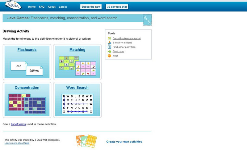
Quia: Drawing Activity
This is a terrific set of activities related to art instruction. Includes matching, concentration, flashcards, and a word search. Great for art students looking for a fun way to review vocabulary terms.
Geographypods
Geographypods: Map Skills
A collection of highly engaging learning modules on various topics within mapping skills. Covers map symbols, how to use four- and six-figure grid references, cardinal directions, distance, contour mapping, and drawing cross-sections....


