Curated OER
Locate Key Information in Nonfiction Text
Interpret nonfiction text with your class. Readers use key information found in nonfiction text to answer questions and problem solve. They utilize the chapter headings, diagrams, glossary, maps, and captions as well as the table of...
Polar Bears International
Top of the World
Learn about polar bears and the Arctic circle with a lesson about the countries and conditions of the region. After examining how the area differs from Antarctica, kids explore climates, animals, and geographical position...
EngageNY
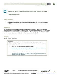
Which Real Number Functions Define a Linear Transformation?
Not all linear functions are linear transformations, only those that go through the origin. The third lesson in the 32-part unit proves that linear transformations are of the form f(x) = ax. The lesson plan takes another look at examples...
Teaching Adapted PE
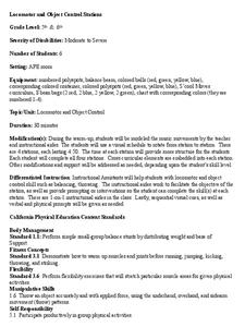
Locomotor and Object Control Stations
Develop children's basic locomotor and object control skills with an invigorating Adaptive PE lesson. A series of four, timed stations engaged the class in playing a game of Twister, walking on a balance beam,...
Sea World
Endangered Species
Study different endangered species with several activities that incorporate math, science, language arts, and research strategies. A great addition to your activity on conservation or Earth Day.
Curated OER
Fish Around the World
Learners use a globe to answer questions such as which continent they live in and the country in which they live. They identify at least two bodies of water near their state and two foreign countries. In groups, they complete a...
Curated OER
Sorting the Loyalist Documents
Students organize the Canadian Loyalist primary source documents and add more information to their primary source document concept maps.
Curated OER
Knowing Where You Are
Learners work together to research the names of places in their state. They divide up their state so that each group can research a different section and complete a chart of the different names. They create a key for the map to explain...
Curated OER
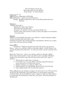
How Does Kansas Measure Up?
Students identify the five main crops of Kansas and crops that are produced in other states. The categorize the types of fruits and seeds of each plant and measure each to compare the length of each.
Curated OER
Using Story Structure to Enhance Comprehension
In these story structure worksheets, students review story structure and learn how to use story maps to help with their reading comprehension. Students review an example story map and then study three different graphic organizer versions...
Curated OER
Breads Around the World
Pupils read about bread. In this instructional activity studying bread, students read about the history of bread and it's significance around the world. Pupils identify the three main crops used to make bread and ten common types of...
Curated OER
Places and Production
Students calculate United States GDP and GDP per capita, use a choropleth map to acquire information, and create choropleth maps of GDP per capita in South America. They identify regions with high and low GDP per capita
Curated OER
Cities of the World
Students identify the symbol for cities on a political map. In this world map activity, students identify specific cities on the World Political Map. Students should identify the country in which the city is located. Students discuss the...
Curated OER
Babar's Travels
Pupils read the story The Story of Babar and have a class discussion about his travels, discuss their families, design a map, pick music, and more. In this cross curricular musical lesson plan, students create a music map for each of the...
Curated OER
The Odyssey Lesson 2
Ninth graders read and discuss part 1 of The Odyssey and create a mind map and visual images to represent vocabulary. In this reading lesson plan, 9th graders are introduced to poetry, and the Hero Cycle.
Curated OER
Sounds of the Wetlands
Students identify the sounds of different bird calls. In this biology lesson, students create a sound map. They explain how this method is important in tracking wildlife.
Curated OER
Graphing Regions: Lesson 2
Young scholars identify and analyze geographical locations of inventors. They each identify where their inventor is from on a U.S. map, discuss geographic patterns, and create a t-chart and graph using the Graph Club 2.0 Software.
Curated OER
Geology and the Battle of Gettysburg
High schoolers create geologic maps of the Gettysburg battlefield. For this geologic skills lesson, students consider the variations of Earth's surfaces and explore strategies employed by the North and South in the Battle of Gettysburg...
Curated OER
Making Rocks
Young scholars use their imaginations in order to journey to the center of the earth to find different types of minerals. They create minerals using playdough and create scientific drawings of them. Finally, students create a map to...
Curated OER
Classify Rocks
Young scholars classify different types of rocks. In this earth science instructional activity, students test different rock samples and construct a chart to record observations. They create a concept map that answers essential questions.
Curated OER
Rainfall Mapping
Students explore rainfall and habitats. In this rainfall lesson, students explore the relationships among rainfall, vegetation, and animal habitats. Resources are provided.
Curated OER
Know Your Polygons!
Students identify and categorize different polygons. In this polygons lesson plan, students research and identify properties of polygons, identify different polygon shapes, and categorize different triangles and quadrilaterals.
Curated OER
Edible Resource Maps
Third graders work in groups to create an edible resource map showing locations of at least five resources in the United States. Students research on the internet different regions and the resources that are found in those areas. They...
Curated OER
Different Perspectives of Oregon's Forest Economic Geography
Learners locate the many forests located in Oregon. In groups, they use the internet to research employment data on wood products made in the state. They discuss how looking at information presented in a different way can change their...


