Artisan Global
QuakeFeed Earthquake Map, Alerts and News
Amateur seismologists explore Earth's earthquakes in real time using a variety of map styles and parameter selections.
Rainforest Alliance
Knowing the Essential Elements of a Habitat
To gain insight into the many different types of habitats, individuals must first get to know their own. Here, scholars explore their school environment, draw a map, compare and contrast their surroundings to larger ones. They then...
Oregon State
World Map of Plate Boundaries
Young geologists piece together the puzzle of plate tectonics in an earth science lesson. Given a physical map of the world, they search for land formations that indicate the location of different types of plate boundaries.
Agriculture in the Classroom
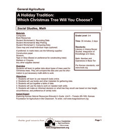
A Holiday Tradition: Which Christmas Tree Will You Choose?
Different varieties of Christmas trees provide an interesting way to combine social studies, science, math, and technology. Class members not only research the history of the Christmas tree holiday tradition, they compare and...
Shakespeare Globe Trust
Fact Sheet: Playhouses
Laborers used common materials to build London's first performance venues, including sticks, plaster, and ... hair? Using an informational handout, scholars learn about the construction of different types of playhouses where actors...
Teach Engineering
What is GIS?
Is GIS the real manifestation of Harry Potter's Marauders Map? Introduce your class to the history of geographic information systems (GIS), the technology that allows for easy use of spatial information, with a resource that teaches...
Curated OER
Sentence Patterns
Supplement instruction on sentence patterns and types by providing this reference sheet for your class members. Included on this page are definitions of many different sentence patterns and an example of each. A useful item for pupils to...
Port Jefferson School District
Hurricane Katrina
Young scientists track Hurricane Katrina across the Atlantic Ocean as they learn about these destructive forces of nature. Provided with a table of data tracking the location and conditions of Katrina over a one week span, students...
MENSA Education & Research Foundation
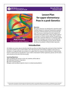
Peas in a Pod: Genetics
Can peas have grandparents? Learn about inherited traits and heredity with a set of activities focused on Mendelian genetics. As your class learns about the process of passing traits along in Punnett squares, they take on the role of...
NOAA
Thunderstorms, Tornadoes, Lightning. . . Nature's Most Violent Storms
Thunderstorms, tornadoes, floods, and hail are just a few of the topics covered in a thorough weather preparedness guide. With descriptions of each weather phenomenon, from what causes them to how and when they occur to...
It's About Time
Volcanic History of Your Community
Did you know there are 20 volcanoes erupting at any given time? Pupils look at various igneous rocks, read local geologic maps, and determine if their area has a history of volcanic activity. A reading passage and analysis questions...
Center for Learning in Action
Investigating Physical and Chemical Changes
Super scientists visit ten stations to predict, observe, and draw conclusions about the physical and chemical changes that occur when different states of matter—liquid, solid, and gas—are placed under a variety of conditions. To...
It's About Time
The Electricity and Magnetism Connection
Magnets don't grow in fields, but magnetic fields are important to understand. The lesson covers the effect electricity has on magnetic fields. Scholars use a compass, magnets, and electrical wire to test magnetic fields and energy...
Center for Learning in Action
Density
Explore the concept of density within states of matter—gases, liquids, and solids—through a group experiment in which young scientists test objects' texture, color, weight, size, and ability to sink or float.
Novelinks
The View From Saturday: Concept/Vocabulary Analysis
Design your unit on The View From Saturday by E.L. Konigsburg with a concept and vocabulary analysis resource. It outlines the plot, literary elements, vocabulary issues, and any possible considerations for planning a differentiated...
CK-12 Foundation
Ck 12: Earth Science: Maps Study Guide
Get an overview of different types of Earth Science maps.
Free Management Library
Map: General Guidelines for Conducting Interviews
Interesting site. Delineates the sequence, topics, and wording for interview questions. Explains the different types of interviews and has useful links to other resources. Although designed for an interviewer, this site should also be...
Johns Hopkins University
The Johns Hopkins University: Kansas State Maps
At this site from The Johns Hopkins University Applied Physics Laboratory, you can learn more about the great state of Kansas through its geography. You can learn a lot of information by studying maps. Different types of maps can give...
Johns Hopkins University
Johns Hopkins University: Alabama State Maps
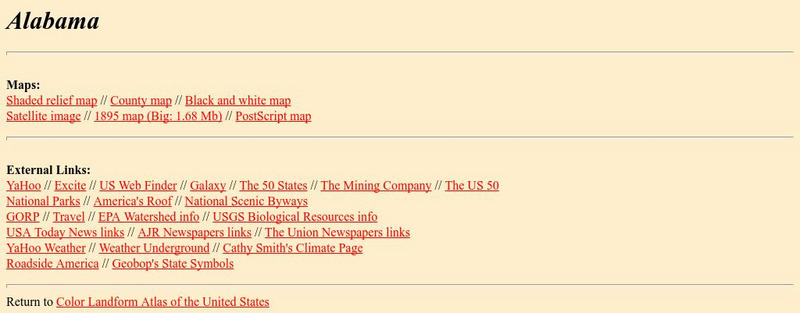
Check out this site from the Johns Hopkins University Applied Physics Laboratory for several different types of maps for the state of Alabama. You can find everything from a county map to a shaded relief map. If you are looking for map...
Johns Hopkins University
The Johns Hopkins University: Utah State Maps
At this site from The Johns Hopkins University Applied Physics Laboratory, you can learn more about Utah through these different types of maps. This site contains a black and white map, a county map, a satellite image map, a shaded...
Johns Hopkins University
The Johns Hopkins University: Virginia State Maps
This site from The Johns Hopkins University Applied Physics Laboratory allows you to learn more about Virginia through these different types of maps. This site contains a black and white map, a county map, a satellite image map, a shaded...
Johns Hopkins University
The Johns Hopkins University: Washington State Maps
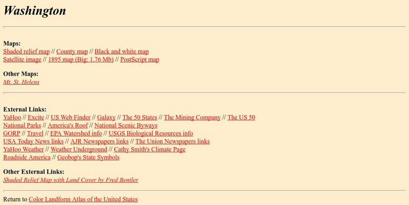
This site from The Johns Hopkins University Applied Physics Laboratory allows you to learn more about Washington through these different types of maps. This site contains a black and white map, a county map, a satellite image map, a...
Johns Hopkins University
Johns Hopkins University: Alabama State Maps
Check out this site from the Johns Hopkins University Applied Physics Laboratory for several different types of maps for the state of Alabama. You can find everything from a county map to a shaded relief map. If you are looking for map...
Johns Hopkins University
The Johns Hopkins University: Georgia State Maps
This site from The Johns Hopkins University Applied Physics Laboratory contains several map resources for the state of Georgia. Don't miss out on the different types of maps found at this website from black and white map to a county and...


