Hi, what do you want to do?
Space Awareness
Britannia Rule the Waves
Could you determine longitude based on measuring time? Early explorers used a longitude clock to do just that. Scholars learn about early exploration and the importance of the invention of the clock. Then pupils build their own longitude...
University of Pennsylvania
Canaan and Ancient Israel
Planning for your next activity on ancient Israel, but not sure where to start? Check out this assortment of activities to help get the ball rolling. It includes a range of ideas on topics, such as Greek and Egyptian mythology,...
Curated OER
Lewis Hine
Students define the term Industrialization. They use specific examples, discuss why and how industrialization grew during the early twentieth century in America. Students evaluate the contributions of technological advances, geography...
Curated OER
Great Explorers
Students research an explorer and present a multimedia presentation on the explorer. In this United States explorers lesson, students watch a video about Lewis and Clark. Students use Google Earth to study their journey and keep a KWL...
Curated OER
The Greek Gods
What were the early Greek myths? Have elementary young scholars examine the Persian Wars and read various Greek myth in order to identify the cause and the results of the Persian Wars. Myths, activities, simulations, and a unit plan are...
K12 Reader
Conflict Over North American Lands
Readers are introduced to some of the conflicts that arose over land and resources in the Americas in a two-part cross-curricular comprehension worksheet that asks kids to study the article and then to use information provided to...
Curated OER
Create a World
Students combine imaginative powers with known map-making techniques to create a whole new world.
Curated OER
Pilgrims: The First Americans
Fifth graders become familar with the pilgrims and first Thanksgiving through essays about important people of the time. In this Thanksgiving lesson, 5th graders choose an important figure from the time of the Pilgrims and write a...
Curated OER
Sparta and Athens
Sixth graders study Ancient Greece. In this Ancient Greece instructional activity, 6th graders complete 16 lessons to learn about Ancient Greece. Students complete a quiz for assessment.
Curated OER
The Respiratory System
Students explore the parts of the respiratory system in this six lessons unit. The lessons presnt the concepts of the breathing, the function of oxygen in the system, how sounds are made, and the effects of pollution, smoking and disease...
Curated OER
The English Settle America
Sixth graders compare immigration today with that of the colonial period. They locate colonies on a map and describe reasons their families immigrated to the United States.
National Endowment for the Humanities
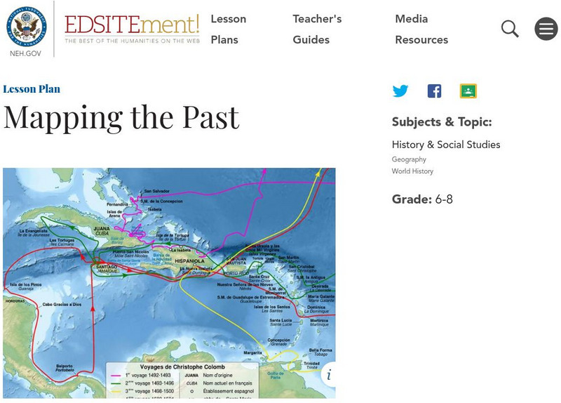
Neh: Edsit Ement: Mapping the Past
Students will examine European world maps from the Middle Ages, the Age of Discovery, and the period of New World exploration. They will then look at maps that record the early exploration of the American West and collect present-day...
Other
Cartographic Images: Late Medieval Maps 1300 1500
Find some incredible maps of early cartographers. What did they know of the world then? Did they know it was round? Take a look at this site.


