Curated OER
Search for Ice and Snow
Students use satellite images to locate areas of ice and snow on the globe. They create a table showing the information they gathered. They present their information to the class.
Curated OER
Go West My Class
Students find data that can be mapped on the Factfinder Web page. They analyze the data from the web site and state recommendations on whether a person should live in Illinois or not based on their preferences.
Curated OER
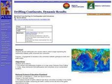
Drifting Continents, Dynamic Results
Students plot earthquake and volcano data using a Compass Rose Plotting. They explain the relationship between plate movement and connection. They draw conclusions that earthquakes and volcanoes occur in predictable locations.
Curated OER
The Siberian Arctic
Young scholars, in groups, research the topics: habitats of northwestern Siberia, reindeer, oil and natural gas, and other threatened regions of the Arctic. They answer specific research questions based on their topic. They use online...
Curated OER
Let's Have a Lesson Within a Lesson
Pupils role-play the role of a student who does not comprehend the language the lesson plan is being instructed in. Using the internet, they research the characteristics, distribution and migration of human populations over time. In...
Curated OER
Science: Trouble in the Troposphere
Students research a NASA Website and record information about an assigned city's tropospheric ozone residual monthly climate. In groups, they graph the information for the past year. They form new groups and compare their city's...
Curated OER
Rivers And Capitals
Students become familiar with the use of GIS for research and become aware of the importance of rivers to cities. They also analyze the placement of cities and learn the names of rivers in the United States.
Curated OER
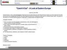
"Czech It Out" - A Look at Eastern Europe
High schoolers research several countries in Eastern Europe. Students compare and contrast several Eastern European countries and then choose a specific country to research and prepare a class presentation with their findings.
Curated OER
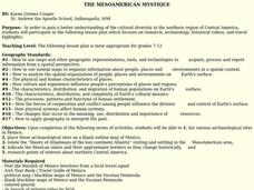
THE MESOAMERICAN MYSTIQUE
Pupils research, archeology, historical videos, and travel highlights in the northern region of Central America. They identify the various archaeological / historical sites along with a date of probable existence and the title of the site.
Curated OER
Crossing China By Sampan
Sixth graders determine the geographic features that facilitate and prevent communication and commerce between parts of China. They recognize a sampan, the traditional flat-bottomed boat used in Southeast Asia.
Curated OER
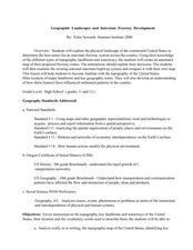
Geographic Landscapes and Interstate Freeway Development
Young scholars investigate the topography of the United States through a discovery lesson. They create a hypothetical route for a highway across the United States. Students also conduct research major landforms and define geographic terms.
Curated OER
The Russian View of Territorial Encroachment
Twelfth graders produce a map illustrating the current NATO members, future nations, and nations that have applied for membership. They research current information regarding NATO, and the Russian viewpoint about the expansion of NATO....
Curated OER
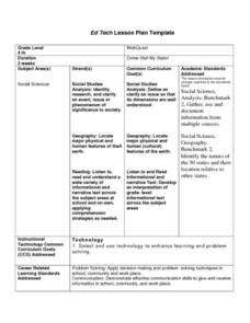
Come Visit My State!
Fourth graders conduct research on a selected state in the United States. They complete a WebQuest and conduct research on a variety of websites. Students then organize and present a visual display about their state that includes a...
Curated OER
Predicting Nations at Risk
Students explain the "So what?"-or the international implications-of factors that indicate the developmental status of a nation.
Curated OER
Can You Give Me Directions To the Game?
Students become familiar with the use and capabilities of GIS and use it for research and mapping purposes. They heighten their ability to estimate travel times by incorporating distance, mode of travel and urban congestion into the...
Curated OER
Regions: Meet the Experts Presentation
Students gather information and create a web site on prairies and plains using a variety of resources, including the internet.
Other popular searches
- World Map Earth's Biomes
- Geography Earths Crust
- Geography the Earths Crust
- World Map Earths Biomes
- World Map Earth's Bio Mes


