Curated OER
Geological Development of Indiana and the Movement of Peoples Across the State
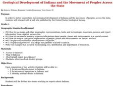
Fourth graders examine the geological development of the state of Indiana. Using the internet, they interact with the United States Geological Survey. They identify earthquake zones and energy resources in the state. They work...
Curated OER
Geological Development of Indiana and the Movement of Peoples Across the State
Students are introduced to the geological development of the state of Indiana. Using the internet, they visit the U.S. Geological Survey and locate the earthquake zones in the state. In groups, they locate and identify the energy...
Curated OER
Geography: Continents
First graders identify basic geographical facts about the world they live in and distinguish between land and water on a globe. They research the continents and information associated with each one focusing on building their map skills.
Curated OER
What Are The Characteristics of Your Neighborhood?
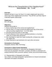
Middle schoolers make a mental map of their neighborhood. Using a software program, they make an aerial and digital map of their school and locate their school on given maps. In groups, they calculate the distances to various locations...
Curated OER
Mapping the Local Community
Students review the symbols and legends of a map. In groups, they follow a set of directions to create a map showing the route to a specific place. They present their map to the class and review the basic components of a community.
Curated OER
Draw A Coastline
Students identify, locate and draw at least ten different geographical features on a map. Using the map, they must make it to scale and include their own legend and compass rose. They share their map with the class and answer questions.
Other popular searches
- Earth Science Moon Phases
- Branches of Earth Science
- Earth Science Minerals
- Earth Science Inquiry
- Earth Science Lesson
- Earth Science Lesson Plans
- Basic Earth Science
- And Earth Science
- Earth Science Map Reading
- Earth Science and Art
- Earth Science Vocabulary
- Science Earth Layers


