Hi, what do you want to do?
Annenberg Foundation
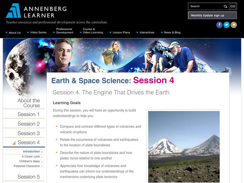
Annenberg Learner: Earth and Space Science: The Engine That Drives the Earth
Material to begin an exploration of volcanoes, earthquakes, and plate tectonics. An hour-long video is accompanied by learning goals, an outline and overview, details on volcano types, plate boundaries, and "hot spots," and ideas for...
US Geological Survey
Usgs: Volcanic Hazards, Features, and Phenomena
Site from the U.S. Geological Survey provides a brief list of volcano terminology including descriptions as well as links to major menus.
Better Lesson
Better Lesson: Interpreting Live Data
Students will be using live data about volcanoes and earthquakes to look for patterns and understand why natural disasters may or may not be able to be predicted. Resources include helpful websites, a video of the lesson in action,...
E-learning for Kids
E Learning for Kids: Madagascar: What Are Tectonic Plates and How Are They Moving?
This lesson teaches students about tectonic plates, plate boundaries, and their role in earthquakes and volcanoes.
ClassFlow
Class Flow: Mountains, Volcanoes, and Earthquakes
[Free Registration/Login Required] This flipchart introduces students to the formation of mountains, volcanoes, and earthquakes.
Smithsonian Institution
National Museum of Natural History: Global Volcanism Program: This Dynamic Planet
Interactive activity that allows the learner to make their own regional map using layers of their choice such as volcanoes, craters, plate tectonics, or earthquakes. This map of the Earth zooms in and out, highlights essential processes,...
Concord Consortium
Concord Consortium: Exploring Earth's Seismicity
This sequence is an introduction to plate tectonics using evidence from topographical maps, earthquake location and depth, and volcano location using the Seismic Explorer model to investigate patterns of earthquake data and to infer the...
Other
Digital Library for Earth System Education: Teaching Box: Plate Tectonics
A suite of lessons focusing on finding the fossil evidence for lithospheric plate tectonics. Inquiry-based exploration of plate tectonics evidence includes fossil distribution, earthquakes, and volcanoes.
Annenberg Foundation
Annenberg Learner: Essential Science for Teachers: Earth and Space 3
Visit an active volcano site to find out the connection between the movement of the Earth's plates and the processes deep within the Earth's interior. [58:23]
Annenberg Foundation
Annenberg Learner: Dynamic Earth Interactives
Interactive tutorials on plate tectonics, plates and boundaries, and the Earth's structure convey the dynamism of geologic processes, such as earthquakes and volcanoes. Takes a multidimensional approach to coverage of basic geologic...
National Geographic
National Geographic: Forces of Nature
This educational site provides information about deadly forces of nature, such as, tornadoes, volcanoes, hurricanes, and earthquakes.
Science Education Resource Center at Carleton College
Serc: A Data Rich Exercise for Discovering Plate Boundary Processes
This article in the Journal of Geoscience Education describes a classroom exercise based on four world maps containing earthquake, volcano, topographical and seafloor age data. Students participate in this exercise by using a "jigsaw"...
Annenberg Foundation
Annenberg Learner: Dynamic Earth Interactive
Delve into the structure of the Earth to learn what causes earthquakes, volcanoes, and more.
Mocomi & Anibrain Digital Technologies
Mocomi: The Ring of Fire
Information on the Ring of Fire, what caused it, where it is located, and the active volcanoes.
The Field Museum
Field Museum: Exhibits: Nature Unleashed: Inside Natural Disasters
Discover the true powers of Mother Nature through this vivid collection of research which delves into the causes of natural disasters and the impacts on those affected.
The Field Museum
Field Museum: Exhibits: Nature Unleashed: Inside Natural Disasters
Discover the true powers of Mother Nature through this vivid collection of research, which delves into the causes of natural disasters and the impacts on those affected.
Crayola
Crayola: Birth of Islands (Lesson Plan)
This site is a lesson plan that incorporates language arts, social studies, science, and art. After studying islands, and how they're formed, students create their own models using clay. Also provides resources and adaptations. (To...
Science Education Resource Center at Carleton College
Serc: Impact of Natural Disasters on the Earth
Through demonstrations and other research, students explore the impact of various natural disasters on the earth. The disasters include floods, tornadoes, hurricanes, volcanoes, and earthquakes.
Science Education Resource Center at Carleton College
Serc: Writing to Support the Theory of Plate Tectonics
This lesson helps students use images that depict earthquakes, seafloor ages, topography, and volcanoes, and then make a scientific argument supporting the Theory of Plate Tectonics.
TeachEngineering
Teach Engineering: Naturally Disastrous
Students are introduced to natural disasters, and learn the difference between natural hazards and natural disasters. They discover the many types of natural hazards - avalanche, earthquake, flood, forest fire, hurricane, landslide,...
NOAA
Noaa: Environmental Technology Lab: Infrasonics Program
This resource focuses on research of infrasonic sounds found in the environment. It discusses such infrasonic sources as volcanoes, avalanches, severe thunderstorms, and earthquakes.
PBS
Pbs Teachers: Deadly Shadow of Vesuvius
Observe the relationship among volcanoes, earthquakes and lithospheric plates by collecting data and creating maps. This activity was created to be used with the NOVA program, "Deadly Shadow of Vesuvius" but the video is not necessary...
American Geosciences Institute
American Geosciences Institute: Earth Science Week: Mapping Quake Risk
Students use GIS to observe worldwide patterns of earthquakes and volcanoes and analyze the relationships of those patterns to tectonic plate boundaries. Then they identify cities at risk.
Incorporated Research Institutions for Seismology
Iris: Basin Range Tectonics
This interactive map of the Basin and Range Province reveals earthquakes, faults, hazards, volcanoes, mines, and National Parks.


