Curated OER
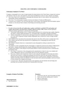
Creating and Comparing Climographs
Students are introduced to the importance and usefulness of climographs. In groups, they create a climograph of two cities on about the same latitude. They compare and contrast the locations and climates of the two cities and write a...
Curated OER
Lesson 2, Student and Teacher Behaviors in Science
Students explore ethics. For this science ethics lesson, students examine science lab classroom ethics as they consider various scenarios that encourage authentic student discussion and the formulation of guidelines and principles.
Curated OER
Design an Island
Students make a map of an imaginary island using the topographic symbols provided from a worksheet. Students place lakes, dwellins, reefs, etc. in areas where they would logically be located from understanding how the topography of an...
Curated OER
Heat and Light Come From Various Sources
First graders study heat and light and how they come from various sources. They list sources of heat and light and identify the different energy sources as heat, light, or both heat and light.
Curated OER
Panther Scavenger Hunt
Students examine the Florida Panthers through a Web-quest. In this web-based activity, students find clues that will help them to identify the habitat of the Florida Panther and the history of human activity which threatens these wild cats.
Curated OER
Panther Scavenger Hunt
Learners research the Internet to fill out their scavenger hunt sheet. In this research lesson students search the Internet for answers to the questions on the scavenger hunt worksheet.
Curated OER
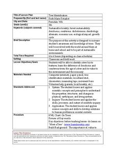
Tree Identification
Students list four ways to identify trees. For this tree identification instructional activity, students use tree identification techniques such as leafs, bark, wood grain, soil type, and climate to create tables and graphs.
Curated OER
INTERPRETING MAGNETIC FIELD MAPS
Students interpret magnetic field maps, rotate the coordinates to obtain different views, change the coordinate representation, and produce alternate graphical representations.
Curated OER
Virtual Field Trip of Japan
Students explore Japan and Japanese culture via GoogleEarth and United Streaming Video. This instructional activity is intended for a middle-level social studies class and includes a wonderful instructional activity extension idea and a...
Curated OER
Whale Adaptations
Students explore whales and how they have adapted to survive in the ocean. In this whale adaptations lesson students complete several activities that allow them to investigate animal adaptations.
Curated OER
Search for Ice and Snow
Learners use satellite images to locate areas of ice and snow on the globe. They create a table showing the information they gathered. They present their information to the class.
Curated OER
Taro
Young scholars locate taro growing areas on a map and how it got there, explain intercultural contact and how taro has been adapted in Hawaii and trace human/taro migration to Hawaii.
Curated OER
GIS and Agriculture
Students are introduced GIS systems and how they operate. Using a GIS system, they locate and map the various types of agricultural products grown in Oregon. They rank each county based on the amount of agricultural products produced and...
Curated OER
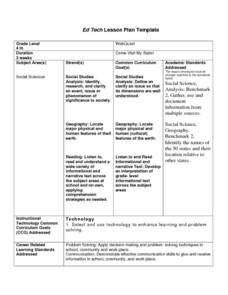
Come Visit My State!
Fourth graders conduct research on a selected state in the United States. They complete a WebQuest and conduct research on a variety of websites. Students then organize and present a visual display about their state that includes a...
Curated OER
If You Mess With A Wetland, At Least Try to Make Amends!
Eighth graders examine the role of wetlands in an ecosystem. In groups, they use the internet to research how humans have disturbed and ruined the effectiveness of wetlands throughout the country. They pretend they are in charge of...
Curated OER
Geographic Landscapes and Interstate Freeway Development
Students investigate the topography of the United States through a discovery lesson. They create a hypothetical route for a highway across the United States. Students also conduct research major landforms and define geographic terms.
Curated OER
Chemical Changes by Gems
Seventh graders observe that heat is produced when two substances are combined. They brainstorm how, and then experiment to find out which of two chemicals created the heat.
Curated OER
"Tsunamis"
Students visit a PBS Website about tsunamis to consider their causes, effects and steps countries have taken to try to defend against them. They answer questions and create a brochure explaining tsunami facts and procedures to survive a...
Curated OER
Looking At Dams
Students examine the importance of dam projects in the Kansas-Lower Republican River Basin. Students create and experiment with a model of an earthern dam.
Curated OER
Introduction to the Barnegat Bay Estuary
Students research estuaries. For this estuaries lesson, students discuss the differences in a bay and an ocean. Students watch a PowerPoint of the properties of the estuaries and geography of Barnegat Bay. Students complete a worksheet...
Curated OER
How We Get From Here to There
Students recognize various types of movement people rely on to get from one place to another, locate the forms of movement on a map and choose one form of movement and research its path.
Curated OER
What are Brazil's Natural Resources?
Students appreciate the gifts of natural resources on our planet and foster ways to protect them. They develop an awareness of the natural resources that are found in Brazil and use the Internet to research Brazil's resources.
Curated OER
Did You Feel That? Earthquake Data Chart
Students plot earthquakes on the world map using coordinates of longitude and latitude. They designate the earthquakes magnitude with a symbol which they include in the map key.
Curated OER
Explore the World: Create-Your-Own-Artifact
Students examine the cultures of different countries other than their own. They select a country they are interested in and research their lifestyles. Using clay, they create a model of one aspect of the new culture of their focus. ...
