Hi, what do you want to do?
Curated OER
The Republic of Sakha (Yukutia)
Young geographers learn about the extreme temperatures found in the Rebublic of Sakha, and study the hardships caused by these temperatures. They look at why people choose to live in such a remote and rugged area. This incredible,...
Curated OER
The Southeast Anatolia Project
This resource is amazing. It is a full project including teacher notes, handouts, procedure, and worksheets. It introduces learners to the GAP project, a social environmental group working to bring irrigation, assistance, and increased...
Curated OER
Which Foods Come From Rainforests?
A very interesting and colorful presentation on the original sources of food is here for you. Learners discover where foods such as bananas, asparagus, potatoes, and oranges come from. They come from rainforests located all over the world!
Curated OER
Coming of Age During Japanese Occupation: Richard E. Kim's Lost Names: Scenes from a Korean Boyhood
Explore the implications of the Japanese occupation of Korea during World War II. Learners read Lost Names: Scenes from a Korean Boyhood, participate in classroom discussions about the novel and keep journals in which they respond to...
The New York Times
Decision Point: Understanding the U.S.’s Dilemma Over North Korea
Simulate the Situation Room and analyze the US's relationship with North Korea. The plan starts off with a quick review and an examination of a online timeline that updates as the situation continues. Next, the class reads an article and...
Curated OER
Tiananmen Square
Students identify and explain the Tiananmen Square incident of June 1989.
Studentsl compare what it is to be an American Citizen (Democracy) vs.
Chinese Citizen (Communism). Students identify and define various vocabulary terms,...
Curated OER
Around the World
Students discuss the major geographical and cultural differences in the world. In this social science lesson, students pretend they are traveling and research information about where they wish to stay by finding information about the...
Curated OER
Traveling the Silk Road: A Multimedia Approach
Students transfer what they have learned about China into an electronic project. In this collaborative project, students take what they have learned from their textbooks and synthesize the information in order to create an electronic...
Curated OER
Teaching the History of Religion
A study of the history of religions around the world can lead to many interesting activities and projects.
Curated OER
Afghanistan and Its Neighbors: Model Summit
Students examine the relationship between the United States and the Soviet Union during the Cold War. They discover the role of religion and cultural identity in the war in Afghanistan. They explore the arguments for and and against...
Curated OER
Exile: Cuba and the United States
Learners gain an understanding of U.S./Cuban Relations. In this world history lesson plan, students examine the events of the Cuban revolution and their effect on U.S.-Cuban relations and U.S. foreign policy.
Columbia University
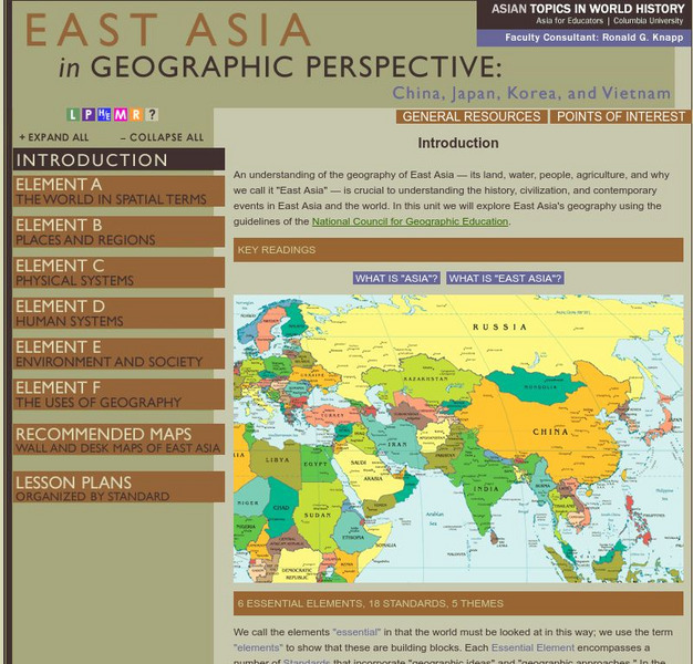
Columbia University: Asia for Educators: East Asia in Geographic Perspective
This teacher resource is devoted to teaching about the geographic history of East Asia. Includes standards information and links to related lesson plans. Also features a downloadable world map (PDF, requires Adobe Reader).
Columbia University
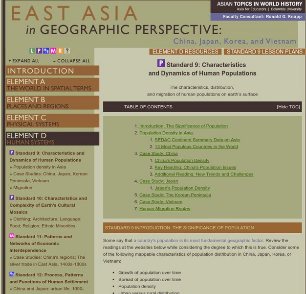
Columbia University: East Asia in Geographic Perspective: Standard 9
The characteristics, distribution, and migration of human populations on earth's surface
Columbia University
Columbia University: Characteristics and Spatial Distribution of Ecosystems
An understanding of the geography of East Asia - its land, water, people, agriculture, and why we call it "East Asia" - is crucial to understanding the history, civilization, and contemporary events in East Asia and the world. In this...
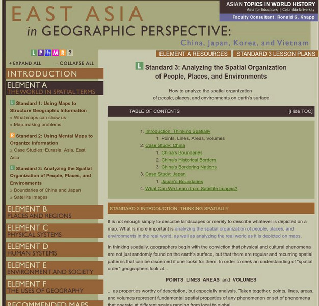
Columbia University
Columbia University: East Asia for Educators
How to analyze the spatial organization of people, places, and environments on the earth's surface.
Columbia University
Columbia University: East Asia in Geographic Perspective: Standard 1
How to use maps and other geographic representations, tools, and technologies to acquire, process, and report information from a spatial perspective
Columbia University
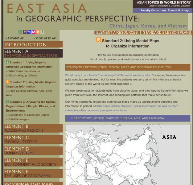
Columbia University: East Asia in Geographical Perspective
How to use mental maps to organize information about people, places, and environments in a spatial context
Columbia University
Columbia University: East Asia in Geographic Perspective: Standard 4
Physical and Human Characteristics of Places
Columbia University
Columbia University: East Asia in Geographic Perspective
People create regions to interpret earth's complexity
Columbia University
Columbia University: East Asia in Geographic Perspective
How culture and experience influence people's perceptions of places and regions
Columbia University
Columbia University: East Asia in Geographic Perspective
Physical Processes That Shape the Patterns of Earth's Surface
Columbia University
Columbia University: East Asia in Geographic Perspective
The characteristics, distribution, and complexity of earth's cultural mosaics
Columbia University
Columbia University: East Asia Geographic Perspective: Standard 11
The patterns and networks of economic interdependence on earth's surface
Columbia University
Columbia University: East Asia in Geographic Perspective
Process, Patterns, and Functions of Human Settlement


