Curated OER
Glaciers and How They Form lands
As a whole class, the students define glacier and perform an experiment involving glaciers. The students brainstorm ideas of what a glacier is, and narrow the ideas down to a definition. The students then participate in an activity that...
Curated OER
Particulate Matter in the Air
Pupils conduct an inquiry exploring the different kinds of particulate matter in the air. They name three different types of particulate matter found in the air and identify different types of solid particulate matter found in the air...
Curated OER
Pollution Prevention At Ft. Riley
Student examine methods of pollution reduction used at Ft. Riley military institution. Learners review the economic impact of the use of enviromentally sensitive materials.
Curated OER
Deserts Puzzle
In this geography worksheet, students complete a crossword puzzle referring all to deserts. They identify the various types of desert land and what plants and animals can survive in these lands. Also, students identify the people who...
CK-12 Foundation
Ck 12: Earth Science: Erosion by Wind
[Free Registration/Login may be required to access all resource tools.] How winds erode surfaces and form various terrain features.
CK-12 Foundation
Ck 12: Fourth Grade Science: Earth Science: Erosion and Deposition by Wind
[Free Registration/Login may be required to access all resource tools.] Looks at how wind causes erosion, how sediments are deposited by wind, and ways to prevent wind erosion.
Science Education Resource Center at Carleton College
Serc: Investigation Erosion in Our World
In this lab activity, students will look for evidence of erosion in river or streams. This activity should take place after students have observed erosion in a model.
Science Education Resource Center at Carleton College
Serc: Erosion in Our World
Students collect evidence to investigate erosion and deposition around the schoolyard.
University of Washington
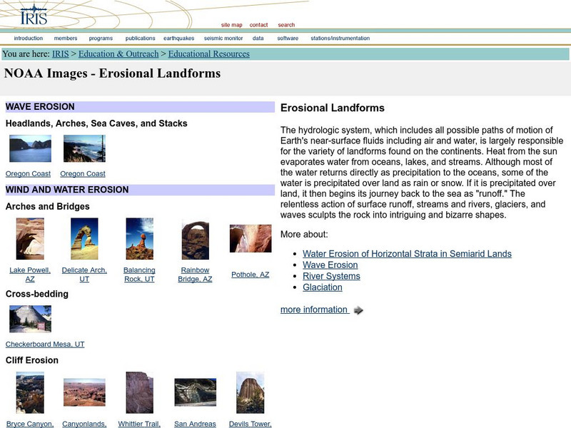
Iris: Noaa Images: Erosional Landforms
Examples, with images, of different types of landforms created by water and wind erosion.
Science Buddies
Science Buddies: Dust Busters: How No Plow Farmers Try to Save Our Soil
In this environmental science fair project, students will build models of fields prepared by plow-based and no-till methods, and see which ones are best at retaining soil moisture and preventing surface runoff.
Science Struck
Science Struck: Understanding Deposition in Geology
Explains what is meant by the deposition of sediments by wind and water and provides examples of the resulting landforms.
Math Science Nucleus
Math Science Nucleus: Maps as Tools
A series of lessons in which students learn about landforms. Includes interpreting landforms, creating landforms, and information on Angel Island.
TeachEngineering
Teach Engineering: Engineering for the Earth
Young students are introduced to the complex systems of the Earth through numerous lessons on its natural resources, processes, weather, climate and landforms. Key earth science topics include rocks, soils and minerals, water and natural...
American Geosciences Institute
American Geosciences Institute: Earth Science Week: What's Down There?
Students build a model to learn about the cycle of erosion and deposition by water and wind which deposits layer upon layer of rock, soil, and organic material to the surface.
PBS
Pbs Teachers: The Real Dirt on Farmer John: Family Farms in America
Trace the evolution in American agriculture with this interactive timeline. Learn how the history of one small Illinois farm reflects the larger changes, decade by decade.
Curated OER
Educational Technology Clearinghouse: Maps Etc: North China, 1971
" North China includes the densely populated and intensively cultivated North China Plain, the loess-covered uplands of Shansi, northern Shensi, and eastern Kansu, and the sparsely populated, semiarid steppes of Inner Mongolia....
Curated OER
Unesco: Lithuania: Curonian Spit
Human habitation of this elongated sand dune peninsula, 98 km long and 0.4-4 km wide, dates back to prehistoric times. Throughout this period it has been threatened by the natural forces of wind and waves. Its survival to the present day...


