Hi, what do you want to do?
Curated OER
Babylonian Square Roots
Students are introduced to a method for finding square roots used by the Babylonian people of Mesopotamia. The method involves dividing and averaging, over and over, to find a more accurate solution with each repeat of the process.
Curated OER
A Visit to Prague
Ninth graders explore why people visit Prague. In this Czech Republic lesson plan, 9th graders read an article and answer guided questions. Students participate in a spelling test on new vocabulary.
Curated OER
GEOGRAPHY GOES TO THE DOGS
Students use countries and dogs from around the world to answer the questions.
Curated OER
Geography Quiz 24
In this geography quiz 24 activity, students answer 20 trivia-style questions about geography. Then they scroll down to check answers.
Curated OER
Teaching English: Northern Ireland
In this northern Ireland worksheet, students complete a matching activity, and true/false and short answer questions after reading short paragraphs of text.
Curated OER
I Spy with my Little Eye…
Students read an article on Vienna. In this ESL lesson, students explore a recent incident between Russia and the United States, then complete several activities that reinforce the information in the article.
Curated OER
Central Europe’s Glorious Ball Season Starts
Ninth graders examine the Ball season in Europe. For this European Culture ESL lesson, 9th graders read an article and answer guided reading questions. Students complete a graphic organizer on going to a ball.
Curated OER
Map Quiz 1
In this map quiz 1 worksheet, students answer questions relating to geography, not interactively, then scroll down to see the answers.
Curated OER
Geography A to Z: The Letter F
The geography letter of the day is F! The class needs to determine the answer to each of the seven clues with a world location that starts with letter F. Wonderful for a daily warm up or as an exit-card activity.
Curated OER
Hunt the Fact Monster Hunt #34
In this Internet research learning exercise, students use the Fact Monster search engine to find the answers to ten unrelated questions. Three of the questions are multiple choice, the remaining seven are short answer questions.
Soft Schools
Soft Schools: Europe Countries and Capitals Quizzes
Choose from four interactive quizzes, and test your geography knowledge of European countries and their capitals.
Science Struck
Science Struck: A to Z List of European Countries and Their Capitals
Presents a map and an alphabetical list of all the European countries and their capital cities.
Science Struck
Science Struck: List of European Capital Cities With Countries
Discusses the geography of Europe and presents a table of 51 European countries and their capitals and a second table of 12 autonomous regions and their capitals.
National Humanities Center
National Humanities Center: Toolbox Library: Cities & Towns, American Beginnings: 1492 1690
Four accounts of the visits to and growth of colonial cities in Spanish, British, and French New World settlements that demonstrate why certain communities developed successfully.
Oswego City School District
Oswego City School District: The Commercial Revolution
Read here about the time in European history leading into the Renaissance. It is known as the Commercial Revolution, or the emergence of trade, capitalism and working class parties, and unions.
ClassFlow
Class Flow: European Capitals Quiz
[Free Registration/Login Required] Using the Activote system, students will look at a map of Europe to identify the country and then select that country's capital city. There are 28 questions.
Curated OER
Etc: Maps Etc: Political and Physical Africa, 1901
A map from 1901 of the political and physical features of Africa. The map uses color-contouring to show highlands above 2000 feet in buff tints, lowlands in greens, and the submerged part of the continental plateau in light blue. The map...
Curated OER
Etc: Maps Etc: European Possessions of Africa, 1906
A map of Africa after the Berlin Conference of 1885, which established the European colonial territory claims on the continent. This map shows the Belgian, British, French, German, Italian, Portuguese, and Spanish claims, and the Turkish...
Curated OER
Etc: Maps Etc: Australia and Australasian Islands, 1882
A map of Australia and the Australasian islands in 1882 showing the states and territories of Australia at the time, including De Witt Land and Tasman Land in Western Australia, Alexandra Land and North Australia, Queensland, South...
World Atlas
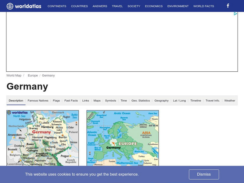
World Atlas: Germany
WorldAtlas.com looks at Germany, including quick facts and figures and many maps.
Curated OER
Educational Technology Clearinghouse: Maps Etc: Texas, 1898
A map from 1898 of Texas showing the capital at Austin City, principal cities and towns, railroads, rivers, and coastal features. "Lone Star State. Origin of name not definitely known; supposed by some to have been name of Indian tribe....
Curated OER
Educational Technology Clearinghouse: Maps Etc: Africa, 1901
A map from 1901 of Africa showing political boundaries and capitals, principal cities and towns, mountain systems, rivers, lakes, and coastal features. The map is color-coded to show the European possessions of the British, French,...
The History Place
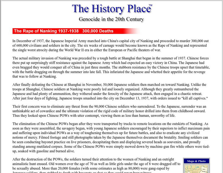
The History Place: Rape of Nanking
In December 1937, the Japanese Imperial Army marched into China's capital city of Nanking and proceeded to murder 300,000 out of 600,000 civilians and soldiers in the city. The six weeks of carnage would become known as the Rape of...
Curated OER
Educational Technology Clearinghouse: Maps Etc: Colonial Africa, 1904
A map of Africa shortly after the Berlin Conference of 1885, which established the European colonial territory claims on the continent. These European and independent boundaries include Algeria and the Saharan Sphere of French Influence,...


