Hi, what do you want to do?
Curated OER
Plan A Trip Anywhere
Young scholars role play being an international travel agent that is planning a trip for a client. The teacher gives specific details associated with the trip. They choose the destination and work out some of the other details. Students...
Curated OER
Caution: Slippery When Wet....Not!
Students and manipulate data from Internet sites to design a downhill ski course that meets the International Federation of Skiing's requirements for a safe and fair competition.
Curated OER
Speed Is the Key
Students design and build a model downhill ski course that proves to be the fastest course at the Finish Line. They apply what they explore angles, slope, speed, and surface conditions to find the fastest course in the US.
Curated OER
Making a Class Web Site
Fourth graders explore and discuss how to create a class web site with a background, graphics, clip art and photos. They assess the safety issues putting a web page on the Internet, develop sound interviewing techniques and coordinate...
Mariners' Museum and Park
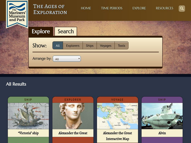
Mariners' Museum: Age of Exploration: Tools of Navigation
Sailors improved on many of the tools used in navigation to help them in their long journeys across an ocean. On this site from the Mariners' Museum, find many of these tools, perhaps in use already in the 15th century, but made even...
University of Calgary
Uof C: Advances in Shipbuilding and Navigation
This site gives information on technical advances in Portuguese shipbuilding and navigational tools.
Mariners' Museum and Park
Mariners' Museum: Exploration Through the Ages
A history of the world from the perspective of those who sailed the seas in great waves of exploration, from ancient times through the nineteenth century. Learn about the explorers, their ships, the tools they navigated by, and their...
PBS
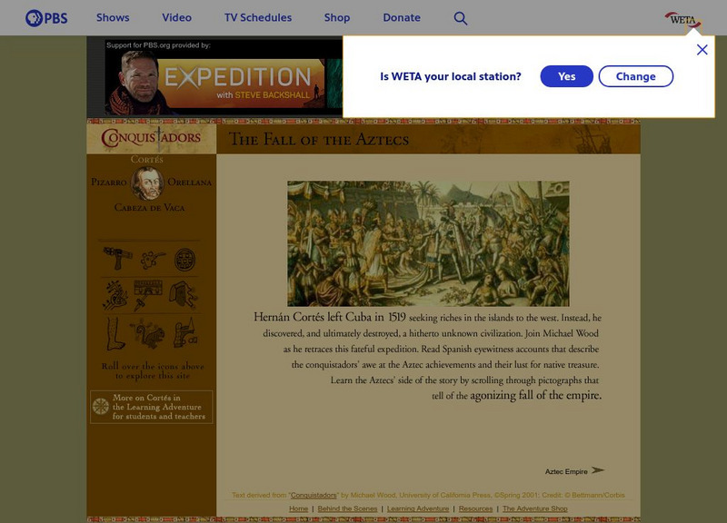
Pbs: Hernan Cortes and the Fall of the Aztec Empire
Learn about the fall of the Aztec Empire. You can use the navigation tool at the left to click into more information on the Aztecs and the Spanish conquest of Cortes. Uses popups.
University of Calgary
European Voyages of Exploration: Geography and Cartography
This site provides information on mapmaking and cartograohy of the early explorers. Includes pictures of maps.
Mariners' Museum and Park
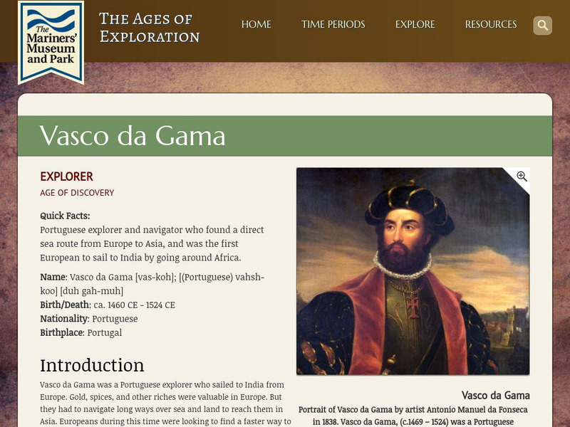
Mariners' Museum: Vasco Da Gama
A biography of Portuguese explorer, Vasco da Gama, highlighting his accomplishments to European exploration. Readers will find an accompanying accounts of his voyages and a collection of the tools he and his crews used for navigating the...
TeachEngineering
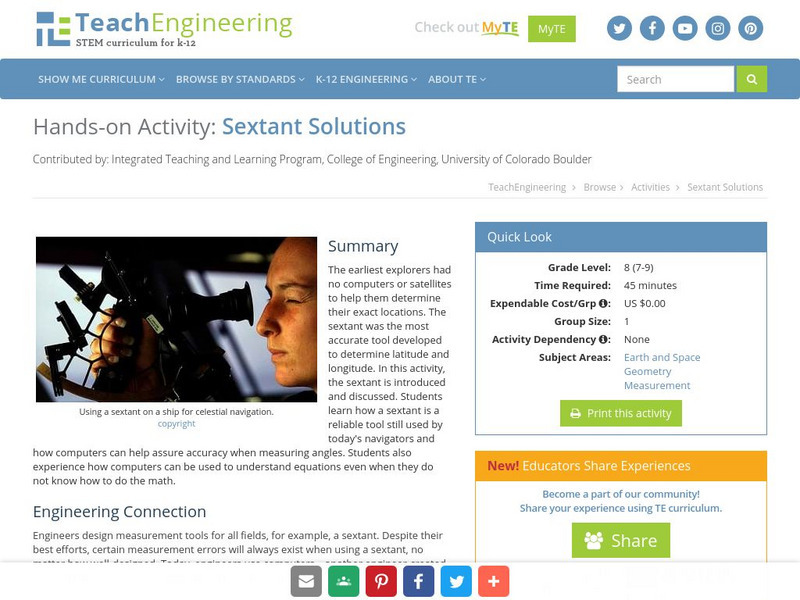
Teach Engineering: Sextant Solutions
The earliest explorers did not have computers or satellites to help them know their exact location. The most accurate tool developed was the sextant to determine latitude and longitude. In this activity, the sextant is introduced and...


