Hi, what do you want to do?






Curated OER
Is Portland, Oregon Experiencing Global Warming?
Students use data to determine if the climate in Portland has changed over the years. In this weather lesson students complete line graphs and study long wave radiation.

Curated OER
True North, Magnetic North
Students explain why compass angles need to be corrected for regional magnetic variation. They observe the difference between magnetic and true north. Each student measures the angle of variation for a town in a different state.

Curated OER
Absolute Location Using GPS Technology
GPS is great for identifying your position, but is it finding your relative or absolute location? Ninth graders explore the difference between absolute and relative location, use the standard grid system coordinate system, and use GPS to...

Mr. Head's 6th Grade Classroom
Absolute Location
How do we know where we are in the world? A presentation for middle schoolers explains absolute location and other geography terms such as relative location. It also gives scholars the opportunity to practice finding absolute location on...

Curated OER
Applications of the Pythagorean Theorem - Magnetism
Middle and high schoolers use the Pythagorean Theorem to complete a table showing with the magnetic field strengths in given cities. They find the average value of the Earth's magnetic field and plot one of the three-dimensional values...

Curated OER
Student Tracking
Here is an interesting lesson on satellite tracking. Learners use various tracking techniques to find out where they go on a daily basis, what the environmental conditions are, and what they are doing during their "migrations." A...

Curated OER
Where in the World...?
Students use longitude and latitude to locate various cities, regions, landforms, and bodies of water around the globe. They use The New York Times Learning Network's crossword puzzle 'Longitude and Latitude' to sharpen their atlas skills.

Curated OER
'Tis a Long, Long Way to Tipperary!
Students practice finding the location of cities across the world by using an interactive Web site, and figure out the world's time and the value of time zones the world over.

Curated OER
Plotting Earthquakes
Students explore earthquakes. Using the National Earthquake Information Center website, students plot daily earthquakes on a map. They observe the magnitude of each earthquake. Students identify the pattern of earthquake locations and...

Curated OER
Where In the World Am I?
Learners identify their location in the world after studying latitude, longitude, relative location, and absolute location. They use assigned web site to find information to make a flipbook that answers questions about their location in...

Curated OER
LAND USE ISSUES
Students relate math with real life situations. They identify and plot points on a grid map. They identify and locate the Drop Box Sites.

Curated OER
Landscapes of Alpine Glaciation
In this glaciers worksheet, students use Google Earth to look for examples of different glacial landforms and phenomena. Students complete 2 short answer questions.

Curated OER
Observing the Sky
Students explore astronomy. In this astronomy lesson, students discuss the history of the movement of celestial bodies and then communicate with other students regarding the movements that they observe in the sky nightly. Students...

Curated OER
Calculation the Cricumference of Earth using "Google Earth"
Eighth graders investigate properties of circles. In this eight grade mathematics lesson, 8th graders apply proportional reasoning to data gathered with “Google Earth” to calculate equatorial and polar circumference of the...

Curated OER
Making Sense Of A Round World On A Flat Surface
Students engage in a lesson that is concerned with the development of geography skills. They take part in a number of activities that center around finding and traveling to different locations. The lesson has resource links that can be...

Curated OER
Unit 1 Review for Global History 9
Ninth graders review what they know about river valley civilizations. In this global history lesson, 9th graders play Cave Jeopardy to prepare for an exam on Sumeria, Egypt, Indus, and Chinese civilizations.

Curated OER
The Equator
Students investigate cultures located along the equator. In this geography skills instructional activity, students research the geography, history, culture, and tourism of Ecuador, Indonesia, Kenya, Brazil, and Singapore. Students write...

Curated OER
Compass Building Instructions
Students build their own compass following a given procedure. In this technology lesson, students explain how a compass is used in navigation. They trace the history of its development.
ABCya
Ab Cya: Latitude and Longitude Treasure Hunt
Use the longitude and latitude clues to find the treasures on the map. The more treasures you find the more challenging it will be to find them.

Diffen
Diffen: Latitude vs. Longitude
Find out about the basics of latitude and longitude with this comparison chart. Then read the article and watch the video to dig a little deeper into the topic.
CK-12 Foundation
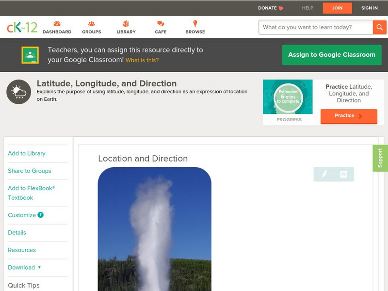
Ck 12: Earth Science: Location and Direction
[Free Registration/Login may be required to access all resource tools.] Using latitude and longitude to find a location.
Quia
Quia: Noise Pollution?
This quiz will determine whether you can use latitude and longitude properly to find absolute locations on the earth.

PBS
Pbs Nova: Find Your Longitude
Lost at sea with only your sextant? Use your knowledge of longitude to find your place. The non-shockwave interactive activity makes the concept of longitude concrete.
PBS
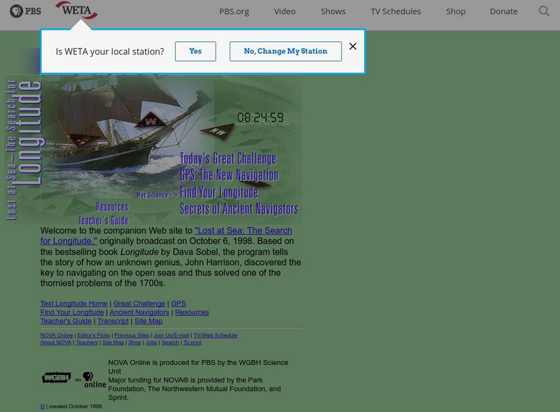
Pbs Nova Online: Lost at Sea the Search for Longitude
"The quest for a reliable method to find your way at sea was one of the thorniest problems of the 1700s." Find out about the search for longitude at this NOVA site. Includes interactive Shockwave game, learning activities and more.