Curated OER
Learning About Maps
Learners investigate the many uses and features of maps and globes and locate where they live on both. For this map lesson, student play a travel game and create their own maps to explore states, continents, countries, and islands.
Curated OER
Current Interactions
Students design an experiment to see how wind, temperature, and salinity work together to influence ocean currents and present it in a report format. They explain to their classmates how experiment findings relate to ocean currents.
Curated OER
Air Masses
Students examine the physical characteristics of several types of air masses to discover how air masses can be identified and defined by their temperature and moisture content.
Curated OER
Fallout!
Students plot the locations of fallout from two disasters that polluted much of the world's air. They plot the ash fallout from the 1980 Mt. St. Helen's eruption to see what the wind patterns in the United States look like overall. Next...
Curated OER
Air Pollution Over Where?
Students predict the movement of an air borne pollutant using their understanding of air currents. They determine which governments and/or communities should be contacted to be forewarned. They also explore the properties of their...
Curated OER
A Message in a Bottle
Young scholars investigate the motion of water currents by mapping the possible movement of messages cast into the ocean in bottles.They accurately plot the appearance of bottles on a world map and illustrate the flow of an ocean...
Curated OER
Geographic Effects on Precipitation, Water Vapor and Temperature
Students investigate the factors affecting climate using Live Access Server. In this geography lesson, students graph atmospheric data using Excel spreadsheet. They compare and contrast temperature, precipitation and water vapor of two...
Curated OER
Clouds as Art: Torn Paper Landscape
Students create a torn paper landscape and use it to study clouds. In this cloud study and art lesson, students make a background art image from torn paper. Students create a torn paper landscape and use cotton balls to illustrate...
Curated OER
Geography And Chinese Landscape Painting
Fourth graders label the physical features of China on a map and become familiar with
the content of traditional Chinese landscape paintings in this lesson intended for the forth grade classroom.
Alabama Learning Exchange
Researching Hurricanes with Technology
High schoolers explain the components that make up a hurricane.
Curated OER
Travel by Train: South American DVD Assignment
In this geography skills activity, students watch the National Geographic video "Travel by Train." Students then respond to 18 short answer questions about content in the video about South America.
Curated OER
Ozone Pollution: Smog Alert
Students examine factors the create smog. In this pollution lesson plan students complete an activity about ozone.
Curated OER
Draw A Coastline
Students identify, locate and draw at least ten different geographical features on a map. Using the map, they must make it to scale and include their own legend and compass rose. They share their map with the class and answer questions.
Other
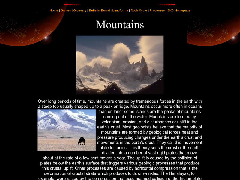
Southern Kings Consolidated School: Mountains
Site from the Southern Kings Consolidated School about mountains. Learn what mountains are and how they form.
Other
West Virginia Geological and Economic Survey: Mountains
Site for general information about mountains. There is a downloadable PDF of this article with pictures.
Encyclopedia Britannica
Encyclopedia Britannica: Andes Mountains
Brief overview of the Andes Mountains. Contains links to related topics and helpful facts about the Andes.
MadSci Network
What Plates Are Colliding to Form the Andes Mountains?
Read the informative and detailed explanation of what plates are colliding to form the Andes Mountains. David Scarboro provides his expert advice to help students understand the answer to this question.
University of Groningen
American History: Outlines: The Problem of Expansion
With the end of the Revolution, the United States again had to face the old unsolved Western question -- the problem of expansion, with its complications of land, fur trade, Indians, settlement and local government. Lured by the richest...
Other
Ranges: Rocky Mountains
Informative site offering detailed information about the Rocky Mountains. Learn about the conglomeration of ranges and the fascinating peaks. The site has links to various peaks and view photographs of these beautiful mountains.
US Geological Survey
Geologic Provinces of the United States: Rocky Mountains
The Rocky Mountains are unique among mountain ranges because they are found so far from a coastline. Explore the ideas geologists are proposing to explain the formation of this mountain range.
Other
Mountains Magnificent: Himalayas
This site from Mountains Magnificent for learning about the culture, trails, and atmosphere of the Himalaya Mountains.
PBS
Pbs Lesson Plan: Bhutan: The Last Shangri La: How the Himalayas Were Formed
Science website from PBS that teaches the basics of mountain formations in relation to the Himalayas and Bhutan. Includes graphics & suggested use of a peanut butter & jelly sandwich!!!
Other
Himalayas: Travel Guide
Detailed and thorough information about the Himalaya Mountains. Learn all about this mighty mountain chain and its diverse environment.
Geographyiq
Geography Iq
Detailed geographical information on any country is available at this site. Within the World Map section, you can get facts and figures about each country's geography, demographics, government, political system, flags, historical and...


