Hi, what do you want to do?
Curated OER
Traveling the Silk Road
Students take a virtual trip down the Silk Road. Using a map, they trace the location of the trade route and others that were developed later. They use different spices and goods to trace how they came to the Americas. They answer...
Curated OER
Naviagational Tools
Fifth graders create a compass, with the help of written instructions and then write six sentences discussing how compasses work and why they are helpful. They discuss the different types of navigational tools and how they are helpful.
Curated OER
Mapping Natural Disasters
Students use Cartesian coordinates to plot current natural disasters. They relate location of natural disasters to their specific major project countries. Students tie in geometry within this lesson as connected to spatial relationships...
Curated OER
Coordinate Graphs
Students use coordinate graphs in order to identify objects and their locations. They are shown how to plot the x and y coordinates and then are given values to be plotted during guided and independent practice. Students are assessed on...
Curated OER
Geotagging in school
Middle schoolers create a digital photo map of the world. In this digital photo map lesson plan, students pick topics such as the Olympics, natural disasters, or trip planning and create a photo map on the computer.
Curated OER
I Know Where You Are!
Students study what a GPS is and use it to challenge themselves and find positions on a map. In this investigative lesson students find various points on a map using a GPS system and answer questions on a worksheet.
Curated OER
An Exploration of Global Oil Spill Disasters
In this oil spills worksheet, students write facts about the research they find about the oil spills asked. Students complete answers for 20 oil spills.
Curated OER
Eratosthenes
Students examine what Eratosthenes is and the history behind him. In this earth instructional activity students complete a hands on activity to repeat Eratosthenes' experiment.
Curated OER
Creating and Analyzing Graphs of Tropospheric Ozone
Students create and analyze graphs using archived atmospheric data to compare the ozone levels of selected regions around the world.
Curated OER
Fossils and Migration Patterns in Early Hominids
Students plot the locations where major fossils of hominids have been found to extrapolate possible migratory patterns.
Curated OER
Old World and New World - Why Contact Took So Long
Students use a globe to determine why contact between the old world and the new world took a long time. In this map skills lesson, students analyze routes between regions to determine why it took so long for the old world and the new...
Curated OER
How Does Climate Affect Your Environment?
Students access the Global Sun Temperature Project website and research the relationship between the location and climate of a participating school to its building structure. They consider how climate affects the type of structures...
Curated OER
May We Present Planet Earth?
Students draw a map to scale. They illustrate knowledge of how to use DOGS TAILS on a map. Students identify the main parts of a map. They identify and illustrate the major features necessary for sustaining a quality of life for a society.
Curated OER
Planet Earth
Learners explore and analyze data from different maps in order to explain geographic diversity among the continents. Student groups research continents' physical features and examine how they contribute to quality of life for inhabitants.
Curated OER
Location, Location, Location
Students use maps to locate their community in order to create a flip book.
Curated OER
At Your Fingertips
First graders observe a variety of different foods including kiwi, banbnas, coffee, chocolate and discuss where they come from. They discuss the terms import and export then identify the locations where the items came from and their...
Curated OER
Our Fifty States
Seventh graders identify and locate all fifty states in the United States and their capitals. Individually, they research one state identifying when it became a state, its motto, song, flower and nicknames. To end the lesson, they are...
Curated OER
Creating a Map
Third graders examine the process of creating an accurate map, and create a map of their playground. They identify what objects are on their playground, and discuss what is found on a map. Students then draw a map of their playground...
Country Studies US
Country Studies: Afghanistan: Geography
A description of the rough terrain of Afghanistan along with its latitude, longitude, area, and neighbors. Small map included and links to related articles. From the Country Studies of the Library of Congress.
PBS
Pbs Nova Online: Lost at Sea the Search for Longitude
"The quest for a reliable method to find your way at sea was one of the thorniest problems of the 1700s." Find out about the search for longitude at this NOVA site. Includes interactive Shockwave game, learning activities and more.
Texas Instruments
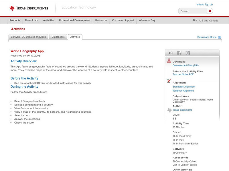
Texas Instruments: World Geography App
This classroom activity features geography facts of countries around the world. Students explore latitude, longitude, area, climate, and more. They examine maps of the area, and discover the location of a country with respect to other...
Social Studies for Kids
Social Studies for Kids: Latitude and Longitude
A collection of latitude and longitude mapping activities ranging from pin-pointing exact locations on the globe to researching the history behind this basic geography concept.
Geographyiq
Geography Iq
Detailed geographical information on any country is available at this site. Within the World Map section, you can get facts and figures about each country's geography, demographics, government, political system, flags, historical and...
Other
Physical Geography: Glossary of Terms
Teachers who are looking for a complete course study in physical geography need this site. It is very well organized and colorfully designed. It contains an online glossary, study guides, links, clip art, maps etc.


