Curated OER
Understanding Latitude and Longitude
Teaching learners about latitude and longitude can get a little complicated. Present the concept by first representing it as a graph. Just like finding a location on a graph using the x and y-axis, learners will be able to locate items...
Curated OER
Topographic Mapping Skills
For this geography worksheet, students read an excerpt about topographic maps and why they are useful for various jobs. They also respond to eleven questions that follow related to the excerpt and locating specific map points on the map...
Curated OER
Exploring an Atlas
Learners explore global geography by participating in an atlas activity. In this countries of the world lesson, students collaborate in small groups and analyze an atlas while researching continents, countries and demographics. Learners...
Curated OER
People Change the Landscape
Students examine ways in which humans have brought change to the natural environment. In this ecology and literacy lesson, students listen to the book Island Boy by Barbara Cooney. Students observe and define map-reading vocabulary as...
Curated OER
N is for Natural State
For any pupils who live in the state of Arkansas, this would be a fabulous educational experience to help them get to know their state better. Through the use of activities in literature, art, mathematics, science, social studies, and...
Curated OER
Continents and Oceans
Students identify oceans and continents and their locations on a map. They color-code and label their own map of the world's continents and oceans. They play the game Continents and Oceans to identify specific areas.
Curated OER
Arkansas: A Changing Climate, a Changing Land
Here is a lesson on the climate zones and geography of Arkansas. In it, learners look at maps (embedded) of different climate zones found throughout Arkansas. They engage in discussions regarding how global warming and climate change is...
Cornell University
Too Much of a Good Thing?
Continuing their study of beneficial insects, young entomologists discover where in the world some of these bugs are. By labeling, coloring, and using the scale on a map, pupils explore the territories and arrival of the Asian lady...
NOAA
Why is Hawaii's Ocean Important?
Studying the oceans? Focus on Hawaii's ocean with a resource packed with activity-based worksheets. Everything from products that come from the ocean to the abundance of plants and animals that call the ocean their home, Hawaii's ocean...
Howard Hughes Medical Institute
BiomeViewer
Which holds more influence, the environment over humans or humans over the environment? Young scientists explore an online interactive that addresses this discussion. They observe changes in the natural world over time and see which...
Curated OER
How Does Your Garden Grow? Discovering How Weather Patterns Affect Natural Cycles
For the warm-up in this cool climate lesson, you will need to click on "Mapping" and then "US Mapping" once you arrive at NOAA's "US Climate at a Glance" page. Earth science explorers realize that 2012 was a warm winter for us. They read...
National Geographic
Types of Volcanic Eruptions
Blow the roof off your classroom with this multimedia science lesson on volcanic eruptions. A short online video teaches young geologists about shield and composite volcanoes and explores the examples of Kilauea and Mt. Vesuvius, before...
Curated OER
Tracking Satellites Using Latitude and Longitude
High schoolers, viewing an Internet site, plot the path of several satellites using latitude and longitude over the course of an hour. They learn the four basic types of satellites and their purpose.
Curated OER
Exploring the USA and the World with Cartograms
Students investigate cartograms in order to explore the different countries on Earth. In this world geography lesson, students use the Internet to analyze data on different cartograms. Students compare data, such as population density,...
Curated OER
Read a Transportation Story
Eighth graders research the career of Arctic transportation. In this arctic transportation lesson, 8th graders read a book about Arctic truck travel and review the historical aspects of transporting goods in the Arctic. Students review...
Curated OER
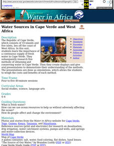
Water Sources in Cape Verde and West Africa
Young explorers study the scarcity and importance of a continuous supply of fresh water in Cape Verde. They research the five main ways that fresh water is obtained in these countries. Each research group prepares a presentation, and...
Curated OER
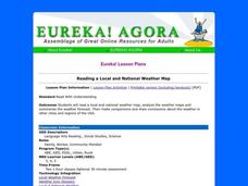
Reading a Local and National Weather Map
Students practice reading a national and local weather map. Using this information, they work together to make predictions about the weather for the next few days. They discuss the use of symbols and maps as a class and discuss how...
Curated OER
Arkansas State Mineral: Quartz Mineral
The quartz crystals found in the mountains of Arkansas are among the purest and clearest in the world! This lesson has middle schoolers focus on this state mineral of Arkansas as they study the state's geography. A fun game is...
Curated OER
Shaky New Zealand
Students explore geography by answering study questions in class. In this plate tectonics lesson, students identify the earthquake data concerning the country of New Zealand and answer questions regarding the data. Students identify...
Polar Trec
The Amazing Antarctic Trek
This resource provides two ways to engage learners in using latitude, longitude, and research skills. In pairs, or on their own, learners will locate several Antarctic regions on a map. They will write the name of the place and a few key...
Curated OER
Rock River Watershed
Students discover what a watershed is and which one they live in. Using the internet, they research why watersheds are important to an ecosystem and how to keep them from getting polluted. They use a map to locate various items within a...
Curated OER
Manduca
Middle schoolers study the definition of a "global society". They take this knowledge and speculate about the positive and negative ramifications of living in a global society.
Curated OER
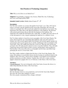
Who Are the Aliens in Our Inland Seas?
Young scholars work in teams to research specific landforms in Great Lakes Watershed, compile information into data table, and write legend explaining landform for children's book. Students then research area surrounding landform,...
Curated OER
Mapping Lab and Lead Poisoning
Students are introduced to GIS and its uses. They make predictions before viewing the actual lead poisoning cases by location of Dade County. Pupils use actual Miami-Dade County spatial data to explore basic principals. Students


