Curated OER
What's In A Name
Second graders write a paragraph about their findings on what their name represents. In this writing lesson plan, 2nd graders will research their name and why they were named that. They will draw a picture that represents them along with...
Curated OER
Community Centered Neighborhood Development
Ninth graders explore the culture of the neighborhood. In this Social Studies lesson, 9th graders examine the different development sites in their community. Students research the zoning regulations.
Curated OER
Weather and Climate
Students identify the words plain and climate and discuss what would happen if it never rained. Students identify and interpret the weather in Poland and create a web illustrating various weather patterns. Students write a 4-line poem...
Curated OER
social studies: Life in Colonial America
Students explore the trials and tribulations early colonial life and note its successes. Through literature, Internet research, and interactive software, they engage in various activities to evaluate early social and cultural development.
Curated OER
Creating Your Own Rock Art
Eighth graders look at early art. For this visual arts lesson, 8th graders investigate the attributes of rock art, examine rock art, and create their own examples of rock art. Analysis and instructional worksheets are included.
Curated OER
Earthweek
Learners explore the ongoing changes in the relationship between human beings and their physical world. They read articles on environmental changes. Students write a short analysis of the effect of the event on the residents of the area...
Curated OER
Regions of South America
Students explore facts about South America in the four lessons of this unit. Booklets are created from the materials produced as the class delves into the topic.
Curated OER
Hole Hole Bushi
Fourth graders play a written rhythm pattern. They state when a rhythm pattern varies from a given pattern by listening to an ostinato. They state reasons why people migrate to different lands.
Curated OER
State Report
Students create a state report/ presentation. They research U.S. state information using the Internet and retrieve information about specific topics (Individual States in the USA) using technology resources.
Curated OER
Environment: Going Places
First graders learn directional words and apply this skill to map making. They record their steps on paper.
Curated OER
Where Am I? Determining Relative Location
Students use position words to describe where their teacher is sitting and read a story that makes use of position words. In this spatial lesson plan, students make a stick puppet and play Simon Says focusing on using position words in...
Curated OER
Wappo Indians of Napa County
Third graders describe the American Indian nation in their local region long ago and in the recent past in terms of national identities, religious beliefs, customs, and various folklore traditions. They synthesize their findings into a...
Curated OER
African Safari
Sixth graders gain an appreciation for the different cultures that inhabit the Earth by focusing on the people of Africa
Curated OER
Mechanics Hall
Learners complete a variety of activities that go along with the study of and possible fieldtrip to Mechanics Hall (Black River Valley) in Worcester, MA. They examine the role industrial development had in society at the turn of the...
Curated OER
Our Fifty States
Seventh graders identify and locate all fifty states in the United States and their capitals. Individually, they research one state identifying when it became a state, its motto, song, flower and nicknames. To end the lesson, they are...
C3 Teachers
C3 Teachers: Inquiries: Maps and Geography
A comprehensive learning module on maps that includes three supporting questions accompanied by formative tasks and source materials, followed by a summative performance task. Students learn about map symbols, cardinal directions, and...
Geographyiq
Geography Iq
Detailed geographical information on any country is available at this site. Within the World Map section, you can get facts and figures about each country's geography, demographics, government, political system, flags, historical and...
SMART Technologies
Smart: Geography Unit: Maps
This geography unit is designed to follow the 1st Grade geography skills required in Virginia. Students are expected to use cardinal directions, read map keys and understand map symbols, as well as identify our city and capital.
BBC
Bbc: Bitesize Geography: Os Map Skills
A short tutorial on mapping tools and how to read maps. Covers features of maps, symbols, the compass, scale, distance, how height is represented, and grid references. Includes multiple-choice quiz at the end.
Soft Schools
Soft Schools: Geography/map Skills Quiz
In this ten question quiz, students can assess their understanding of key geographical features on maps.
Other
American Meteorological Society: Data Streme Atmosphere
This site provides an extensive amount of weather information. Includes current information, forecasting, and historic weather related events. Weather map symbols and terminology explained.
US Geological Survey
Usgs: Map Adventures Lesson 4 Symbols and Legends
This lesson plan offers detailed instructions on the types and uses of map symbols.
National Geographic
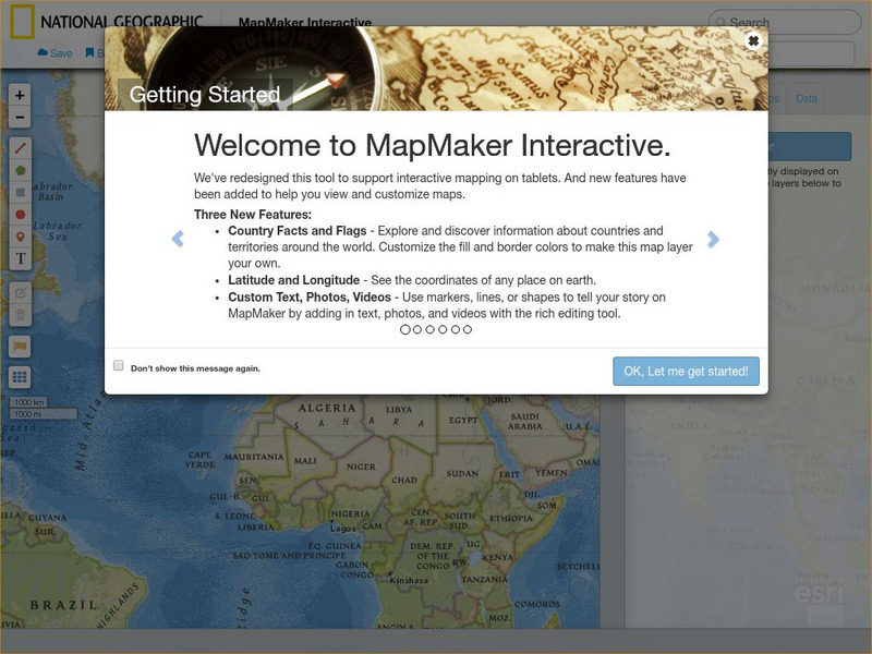
National Geographic: Mapmaker Interactive
Interactive map maker in which students can manipulate world maps adding layers and data with multiple sources of information.
World Atlas
World Atlas: United States of America
A comprehensive guide to the United States of America including a variety of maps, statistics, facts, and information on history, geography, flags, symbols, travel, and much more.


