Hi, what do you want to do?
Curated OER
Identifying Continents and Oceans
Learners locate and identify the four major oceans and the seven continents on a world map. They use an unlabeled world map and compass rose to describe relative locations of the continents and oceans.
Curated OER
NCTA Lesson Plan on China
Students identify China's geography, especially arable land, rainfall, crop growing areas, rivers, and mountains. Students select a technological advance to draw a diagram of the particular advance make transparencies of the diagram,...
Curated OER
East Asian Architecture
Seventh graders compare architecture in East Asia to North American, European, Russian/Eurasian, North African/Southwest Asian and South American architecture. They search the internet for current and historic images of East Asian...
Curated OER
Southeast Asian Architecture
Seventh graders search online for current and historic images of Southeast Asian architecture. They compare architecture in Southeast Asia to North American, European, Russian/Eurasian, North African/Southwest Asian and South American...
Curated OER
African Architecture
Seventh graders investigate cultural influences on architecture in Africa south of the Sahara. They compare the architecture to that in North America, Europe, Russia, and North Africa, Asia, and South America.
Curated OER
Landforms All Around
Students create a "Landform Dictionary". They develop an overlay map and participate in hands-on activities to identify the key characteristics of landforms. They discuss the plant and animal life of these areas. Handouts for the lessons...
Curated OER
Traveling Through North America
Students identify places and landmarks in North America, specifically Canada and the United States, by using and constructing maps. Six lessons on one page; includes test.
Curated OER
We've got the whole world in our hands
Students explore spatial sense in regards to maps about the globe. In this maps lesson plan, students label oceans, locate the continents and poles, follow directions, and explain the symbols on a map.
Curated OER
Where In the World Am I?
Learners identify their location in the world after studying latitude, longitude, relative location, and absolute location. They use assigned web site to find information to make a flipbook that answers questions about their location in...
Curated OER
Coral Reef Conservation
Learners conduct discussions on current threats to coral reefs around the world and write letters to conservation organizations urging support for coral reef protection.
Curated OER
Old World and New World - Why Contact Took So Long
Students use a globe to determine why contact between the old world and the new world took a long time. In this map skills lesson, students analyze routes between regions to determine why it took so long for the old world and the new...
Curated OER
Getting to Know My World
Students participate in hands-on activities using maps and globes to identify geographical features. Students use map legends to identify direction. Students locate oceans, continents, countries, states and cities. Handouts and...
University of Pennsylvania
University of Pennsylvania: An Agrarian History of South Asia
A lengthy essay that fully describes agrarian history in South Asia, along with political connections.
History Teacher
Historyteacher.net: Global Studies: The Geography of South Asia Quiz
This 9-question multiple choice quiz is immediately scored and examines your understanding of the geography of South Asia.
Other
Harper College: South Asia Physical Geography
This is a map quiz of the physical features of South Asia. It contains lists of land bodies, rivers, and water bodies to be matched to a map of South Asia. It can be used as a study tool.
Science Struck
Science Struck: A Complete List of All the Countries in Asia
Lists the 49 countries in Asia and their capitals, organized by geographical region.
BBC
Bbc: News: Country Profile: Maldives
BBC News offers a general overview of the South Asia islands of Maldives. Focus is on history, country facts, political leaders, and news media. Provides access to a timeline of key events, recent news articles, and related internet...
Wikimedia
Wikipedia: Bay of Bengal
This site from Wikipedia offers an extensive description of the Bay of Bengal in the northeastern part of the Indian Ocean. Describes the rivers, seaports, islands, shorelines, oceanography, climate, and more.
University of Texas at Austin
Univ. Of Texas Libraries: Perry Castaneda Map Collection
A collection of maps detailing every area of Asia from every viewpoint.
National Geographic Kids
National Geographic Kids: South Korea
Welcome to South Korea ! Follow this interactive overview of the country's history, geography, people, government, nature, and more. A map and video are included.
Encyclopedia of Earth
Encyclopedia of Earth: South Korea
The Encyclopedia of Earth provides an overview of South Korea, including its geography, natural resources, history, government, economy, and much more. Maps and images are also included, along with sources used to create the entry.
Central Intelligence Agency
Cia: World Factbook: Regional and World Maps
Maps of major areas of the world can be downloaded here. The maps have excellent detail and are in color.
Nations Online Project
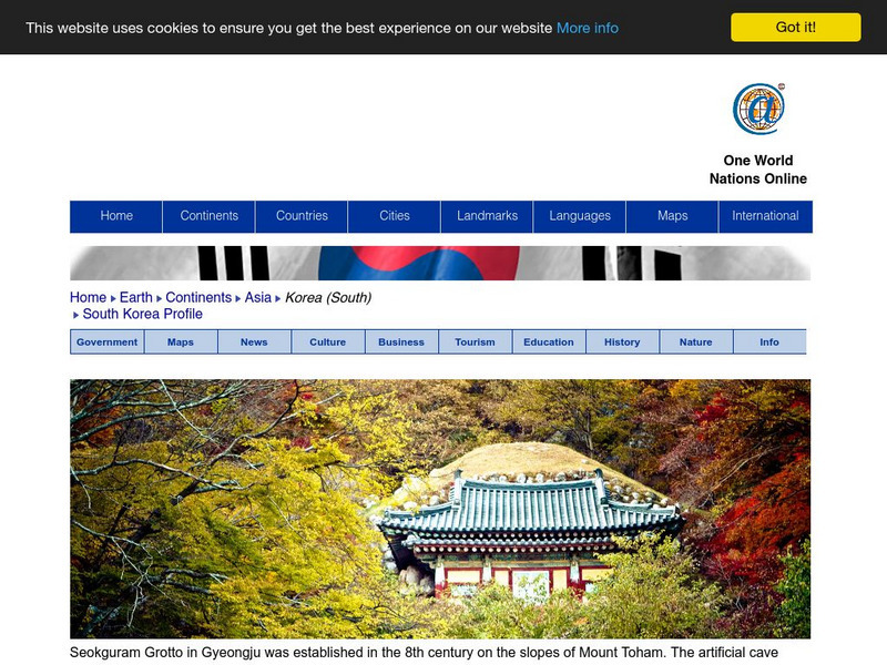
Nations Online: South Korea
Presents a travel guide and country profile for South Korea including a background overview and numerous links to comprehensive information on the country's culture, history, geography, economy, environment, population, news, tourism,...
BBC
Bbc: News: Country Profile: Sri Lanka
BBC News features a general overview of the South Asia island of Sri Lanka. Focus is on history, country facts, political leaders, and news media. Provides access to a timeline of key events, recent news articles, and related internet...


