Curated OER
Cartography Project
A lesson involving mapping, the use of a compass, writing and following directions, and exploring the first two themes of geography is here for you. Learners create original maps that show the routes they take through their own...
August House
Anansi Goes To Lunch - First Grade
Greed is the theme of this collection of multidisciplinary activities. As a class, read The West African folktale, Anansi Goes to Lunch by Bobby Norfolk, and take part in a grand discussion about it's plot and theme. Reinforce the...
Curated OER
US Geography, The Blues
This lesson enables teachers to use blues styles and performers to think about various geographical regions of the United States. By studying different blues styles from the Mississippi Delta, Texas, and the Piedmont region of the...
Curated OER
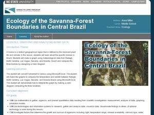
Graphing and Analyzing Biome Data
Students explore biome data. In this world geography and weather data analysis lesson, students record data about weather conditions in North Carolina, Las Vegas, and Brazil. Students convert Fahrenheit degrees to Celsius degrees and use...
Curated OER
In the Wake of Columbus
Students explore how the population decreased in native cultures.
Curated OER
Creating a Thematic Map
Students create and analyze a weather-related data table and a thematic map based upon information provided.
Curated OER
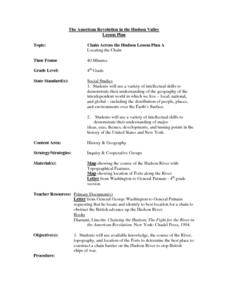
Chain Across the Hudson Lesson Plan A - Locating the Chain
Learners read a letter from George Washington requesting them to identify on a map a location that would stop the advance of British warships. They choose a location and justify their choice.
Curated OER
Fairy Tales Unit Ideas
Learners listen to children's fairy tales and watch them on a video. Afterward, they list the heroes from each story. Students write a short paragraph about a typical day for the hero. Learners dress up like their character and give a...
Curated OER
Introduction to Field Mapping with a Compass and Pace
Students practice using compass and calibrate their own pace, take field measurements of pre-set course with compass and pace, convert measurements into map, using angles and vectors, and make composite class map by adjusting different...
Curated OER
The Greatest Survival Story of All Time
Learners use the Internet to read about an explorer's survival in the Antarctic. They try to find a better route for him to have taken.
Curated OER
Discovering New Mexico
Seventh graders discuss the elements of maps and using basic linear measurement. They calculate the distance between the cities and create a simulated journey around New Mexico using a road map. They write out the directions for their...
Curated OER
Traveling Across America
Students plan a trip to a state capital of their choice with a budget of $2,000. The budgets include site seeing, lodging, food and all necessary expenses. Students keep a daily journal and maintain their budget.
Curated OER
Cancer City USA
High schoolers investigate a phenomenon known as the cancer cluster. Students determine potential cancer clusters given real data and support their findings using mathematical calculations. High schoolers Create a graphical...
Curated OER
Chain Across the Hudson
Fourth graders role play as contractors responsible for constructing a chain across the Hudson River. They apply math skills to determine the total weight, number of links, and cost of the project.


