Hi, what do you want to do?
Curated OER
Hit The Road Jack(or Jill)
Young scholars find the approximate area of the court order on a current map of Delaware. They draw a layout of their school and decide where a new hallway or outside pathway would be most needed.
Curated OER
Saint Lawrence Island Rain Parka
Learners make a Saint Lawrence Island Rain Parka after researching walrus life.
Curated OER
Our Barrio: Our Community/Adams & Normandie
Third graders examine various structures and people, including the region of Adams and Normandie, in Los Angeles. They conduct Internet research, and identify and locate features in the Adams/Normandie region during the past 60/70 years.
Curated OER
The AIDS/HIV Pandemic in Sub-Saharan Africa
Learners become aware of the level of the impact on the current and future socio-economic structures of sub-Saharan Africa by the AIDS pandemic.
Curated OER
What Do We Do About Dues?
Students analyze whether the U.S. should pay dues to the United Nations. They discuss the purposes of the U.N., conduct Internet research on the U.N. website, and summarize the activities and accomplishments of one of the U.N. agencies.
Curated OER
Onikolha (wampum) Belts
Students study the seven wampum belts displayed on the outside of the Turtle School. They create a team project using hyper studio on wampum belts. They study the important historical role and significant details of the wampum belts and...
Curated OER
World War I: Overview of the Great War
Ninth graders read first hand accounts of soldiers' lives during World War I, examine historical timeline of major events during war, and research and listen to clips of popular music of the time.
Curated OER
The American Dream
Students expand their knowledge by researching on the Internet the African American civil rights movement and compiling a timeline of events and heroes. In addition to the civil rights timeline, students identify the key historical sites...
Curated OER
Lesson L - Hit The Road Jack (or Jill)
Students discuss forms of transportation in Delaware during 18th Century, find approximate area of court order on current map of state, draw layout of their school, and decide where new hallway or outside pathway would be most needed.
Curated OER
Give Me the C and D Canal!!!
Students estimate the distance between Baltimore to Philadelphia via the water route before the Chesapeake and Delaware Canal was built. They familiarize themselves with canals and how transporation and economic necessities dictate the...
Curated OER
Ancient Greece: The Olympics and the Gods
Research Ancient Greece, the Olympic games, and Greek mythology. Young historians will research Ancient Greece and complete multiple activities about the history and culture. This is a unit of lessons.
Other
Space Applications Centre: Geographical Information System Concepts
The introduction of this article explains why GIS data is so critical to a government being able to plan for natural resources development and management. The article goes on to explain key geographic concepts, what GIS is and why it...
Other
Gis Lounge: What Is Gis?
Tries to give a clear answer to the often-asked question, 'What is GIS?'
Other
Esri What Is Gis?
This site is provided by ESRI, a leading GIS software developer. It explains how GIS works and ways in which it is used.
Other
Ordnance Survey: Mapzone: Gis Zone
Understand the digitalization of maps at the end of te twentieth century. Discover what GIS stands for, what it does, and how it helps many people in the world.
US Geological Survey
Geographic Information Systems
This is an extensive resource explaining what Geographic Information Systems (GIS) are, how they work, applications of GIS, and GIS through history.
University of Colorado
University of Colorado: The Geographer's Craft Project: Gis as an Integrating Technology
A comprehensive overview of GIS as a technology that brings different kinds of geographical data together to create something that is greater than the sum of its parts.
TeachEngineering
Teach Engineering: Digital Mapping and Geographic Information Systems (Gis)
Geographic information systems (GIS), once used predominantly by experts in cartography and computer programming, have become pervasive in everyday business and consumer use. This unit explores GIS in general as a technology about which...
Wikimedia
Wikipedia: Geographic Information System
Gives in-depth information about GIS - its history, what it is, techniques and tools, applications, etc.
National Geographic
National Geographic: Gis in Action
Use maps to solve problems and help animals. Click on an animal to learn important facts, then click on the map to see layers of different kinds of information.
American Geosciences Institute
American Geosciences Institute: Earth Science Week: Exploring 'Wild' Places With Gis
This lesson plans uses Geographic information systems (GIS) technology to explore the local geography.
Other
Archaeology Data Service: Gis Guide to Good Practice
This document is designed specifically to provide guidance for individuals and organizations involved in the creation, maintenance, use and long-term preservation of GIS-based digital resources.
American Geosciences Institute
American Geosciences Institute: Earth Science Week: Exploring Energy With Gis
In this lesson, students will learn how Geographic Information Systems technology is used to locate energy reserves around the Earth. Provides link to website with lessons on using GIS. (Due to site changes, you may need to search for...
American Geosciences Institute
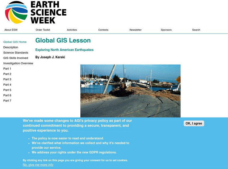
American Geosciences Institute: Earth Science Week: Global Gis Lesson: Exploring North American Earthquakes
In this series of lessons, learners use Geographic Information Systems (GIS) together with the tools and data from the North America Global GIS CD to investigate earthquakes, volcanoes, and population from a local to global scale....
Other popular searches
- Gis Data
- Gis Map
- Gis Software
- Gis Environment
- Gis and Gps Technology
- Gis Gps
- Gis and Remote Sensing
- Gis Data Map
- Geography, Gis
- Gis Lesson Plans
- Gps/gis
- Gis Water


