Hi, what do you want to do?
Google
Google for Education: Exploring Computational Thinking: What Is Ct?
Learn about computational thinking which involves a set of problem-solving skills and techniques that software engineers use to write programs that underlie the computer applications you use such as search, email, and maps.
Other
Satellite Images Bridge Understanding Gap Between Climate Change and Individuals
This article discusses how Google Earth has brought the reality of climate change to the average person so that they can see it for themselves. The north and south poles are indicators of what is happening with climate change and an...
Science Education Resource Center at Carleton College
Serc: Lab 2: What's a Watershed?
Learners build a physical model to simulate watershed features, then use Google Earth software to tie the model to a real place. By exploring several layers of map-based images and data, students learn the complexity of a watershed and...
Alabama Learning Exchange
Alex: Tech Tours Using Google Earth
Grab your passport and head around the world as K-2 learners become reporters using Google Earth and podcasting to learn and share about maps, globes, people and places around the community, state and world. Tools featured include:...
Other
Bowdoin College Library: Joshua Lawrence Chamberlain Digital Archive
Chamberlain's life and legacy. Archive includes examples of letters written by and to Chamberlain, a gallery of photographs, and annotated biographical maps courtesy of Google Earth and Google Maps.
NOAA
Noaa: Estuaries 101 Curriculum: Biodiversity in an Estuary
This activity introduces students to the amazing biodiversity of an estuarine environment, focusing on the habitats in the Rookery Bay National EstuarineResearch Reserve, Florida. They begin by exploring the estuary using Google Maps....
Other
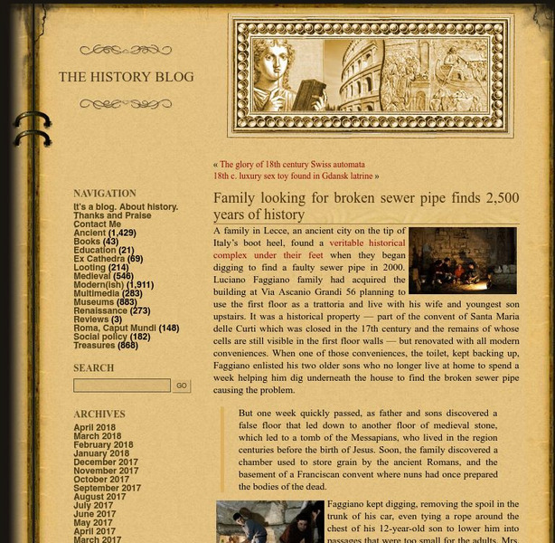
History Blog: Family Looking for Broken Sewer Pipe Finds 2,500 Years of History
A fascinating story about a family in Lecce, Italy, who made a major archaeological discovery while digging under their house to find the source of a problem in the pipes that led to a toilet. What they found instead was an entire...
US National Archives
National Archives: u.s. V. Amistad: A Case of Jurisdiction
Students will review the Amistad case and use passages from the case explore the concept of jurisdiction and how a case travels through the federal court system. Also, included are links to the background of the Amistad case, a...
NOAA
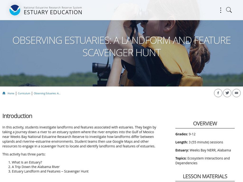
Noaa: Estuaries 101 Curriculum: Observing Estuaries:
Students investigate landforms and features associated with estuaries by taking a journey down a river to an estuary system where the river empties into the Gulf of Mexico near Weeks Bay. They will use Google Maps and other resources to...
TeachEngineering
Teach Engineering: What Is Gis?
Geographic information systems (GIS) are important technology that allows rapid study and use of spatial information. GIS have become increasingly prevalent in industry and the consumer/internet world in the last 20 years. Historically,...
TeachEngineering
Teach Engineering: Projections and Coordinates: Turning a 3 D Earth Into Flatlands
Projections and coordinates are key advancements in the geographic sciences that allow us to better understand the nature of the Earth and how to describe location. These innovations in describing the Earth are the basis for everything...
Other
Bscs: Frog Symphony
In this self-directed lesson, students use maps and graphs of data to investigate the habitats and time of year and day to hear a full chorus of frogs. A handout with everything the student needs to complete this lesson is available as a...
Other
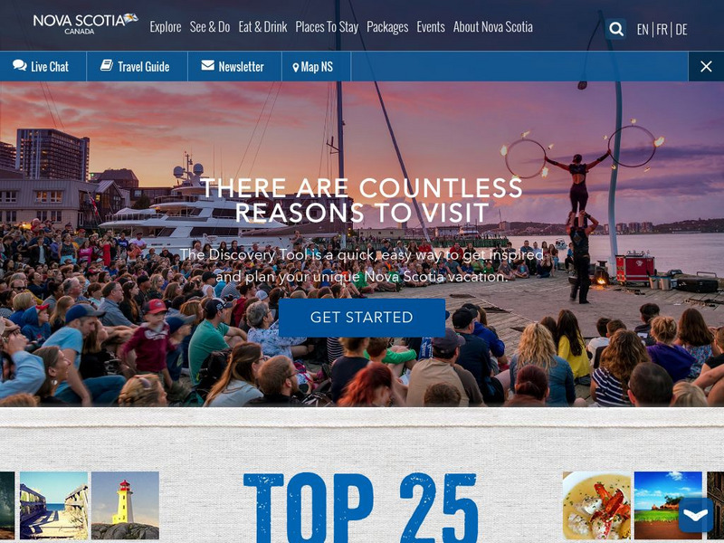
This Is Nova Scotia
This is the home of Nova Scotia's Official Tourism Website. Find much useful information about this beautiful Canadian province including learning about its history, culture, music, climate, and geography. Capture its charm while viewing...
Other
Bscs: Restoring Oyster Reefs
In this self-directed lesson, students use data from the Chesapeake Bay estuary to determine suitable sites for oyster reef restoration. A handout with everything the student needs to complete this lesson is available as a PDF or Google...
Curated OER
Geology.com: Madagascar Map Madagascar Satellite Image
Check out this great satellite image of Madagascar from Google Earth. Scroll past the informative political map to see the image. There is more information about the country below the satellite map.
US National Archives
Docsteach: Immigration to America: Stories and Travels
This activity asks students to match documents to individuals based on the reasons these people came to and were living in the United States. The photographs and documents are attached to government forms in some of the millions of...
Science Education Resource Center at Carleton College
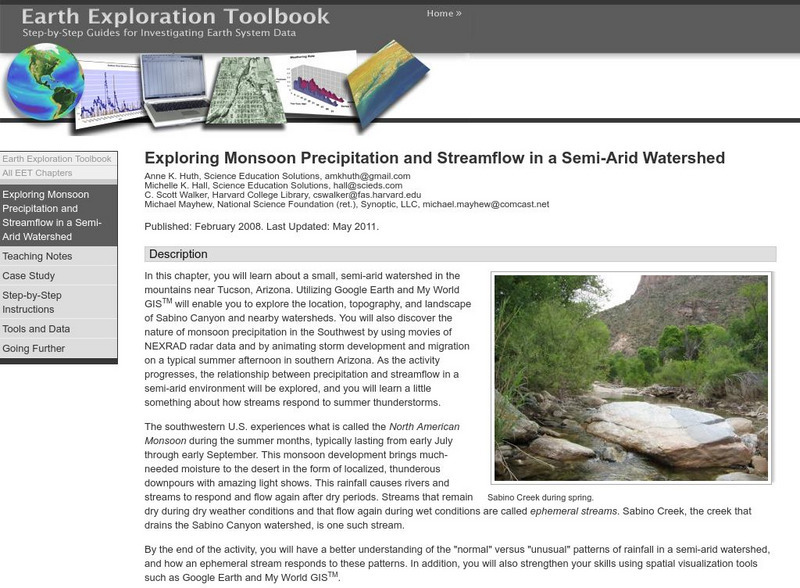
Serc: Exploring Monsoon Precipitation and Streamflow in a Semi Arid Watershed
Students use both My World GISTM and Google Earth maps to investigate streamflow and precipitation relationships in the vicinity of Tucson, AZ.
Other
Hong Kong Space Museum
Besides an introduction to exhibitions and events at the museum, the site provides a guide to stargazing, an astronomy FAQ, space news, virtual tours (see site map) and research resources (including Chinese-English star and constellation...
Sophia Learning
Sophia: Urban Models in the Real World
By using Google Earth and city road maps, students will compare the layout of their city to one of the three North American urban models and see which one is the best fit.
Science Education Resource Center at Carleton College
Serc: Litter Retriever With a Gps Receiver
Have you ever wondered why litter is in some locations and not others? You will use a Global Positioning System (GPS) to mark the locations of trash and trash cans around a local park or school campus, import the data into Google Earth,...
Other
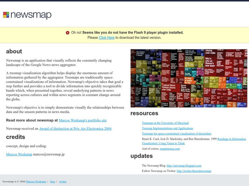
Newsmap
Engaging as well as convenient manner for presentation of news of the day allows students to click on the most important news events. Articles are from newspapers all over the world via the Google News aggregator.
Science Education Resource Center at Carleton College
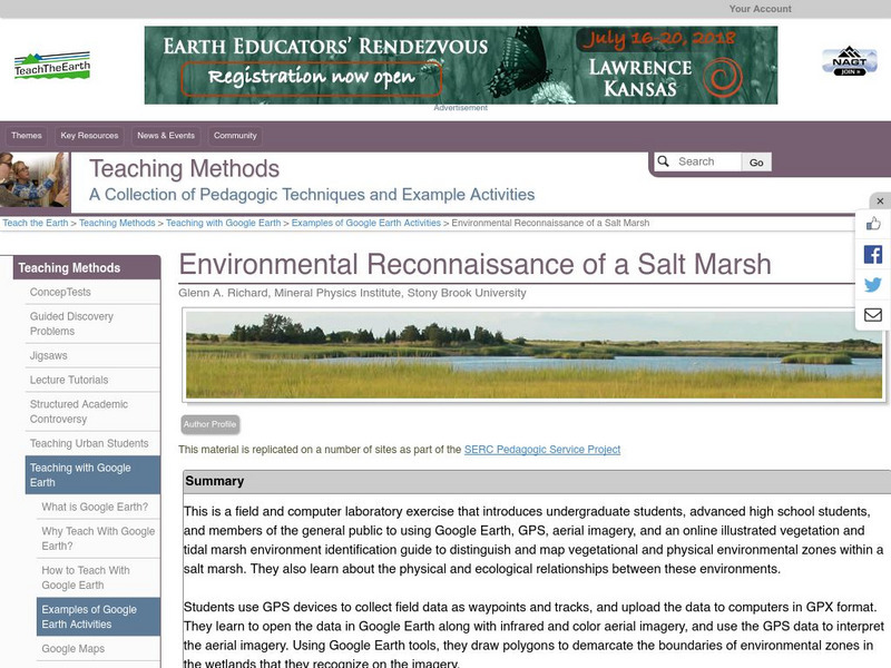
Serc: Environmental Reconnaissance of a Salt Marsh
A field and computer laboratory exercise that introduces students to using Google Earth, GPS, aerial imagery, and an online illustrated vegetation and tidal marsh environment identification guide. Students are challenged to distinguish...
Curated OER
Kazakhstan Political Map
Check out this great satellite image of Kazakhstan from Google Earth. Scroll past the informative political map to see the image. There is more information about the country below the satellite map.
Curated OER
Geology.com: Kazakhstan Map Kazakhstan Satellite Image
Check out this great satellite image of Kazakhstan from Google Earth. Scroll past the informative political map to see the image. There is more information about the country below the satellite map.
Other popular searches
- Scale Factor Google Maps
- Geography Google Maps
- Venn Diagram Google Maps
- Google Maps Science
- Google Maps 13 Colonies


