Curated OER
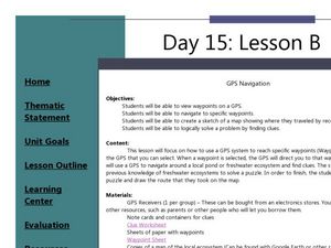
GPS Navigation
Students search for clues given a map and a GPS. In this technology lesson, students solve a puzzle using the clues they gathered in the activity. They write a short reflection about the activity.
Curated OER
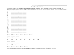
Canada Eh? Pre/Post Tests on Canada Using GPS
Students participate in a GPS activity and answer questions about Canada. In this Canada lesson, students identify location by using a GPS Unit and latitude and longitude. Students find an Inuksuk (station) and a complete worksheet.
Curated OER
Hide and Seek with Geocaching
Students locate objects using a Global Positioning System. In this global geography lesson plan, students explore latitude and longitude using a GPS in order to locate objects.
Curated OER
And a Star to Steer Her By: A Field Trip Guide for the Planetarium Show
In this field trip study guide for the planetarium show lesson, young scholars construct a model of the Earth and describe the relative positions of the continents using latitude and longitude. Students construct a star chart to find...
Edgate
Why Map a Map?
After brainstorming reasons why Native Americans mapped their lands, your young critical thinkers will work together to review their ideas and determine the definition of a map. With today's extensive use of mapping technology and GPS...
Curated OER
Around the Town
In the world of GPS, make sure your kids can still read maps and determine distances between locations. You will need neighborhood street maps, ideally of your class' home turf. Ask kids questions about different locations in relation to...
Curated OER
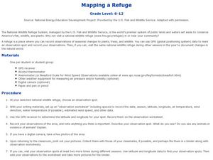
Mapping a Refuge
Students record observations gathered while at a national wildlife refuge. For this lesson on wildlife refuges, students choose an observation spot and record seasonal changes throughout the year.
Curated OER
Caching in Pine's Treasures
Students compile image information about the Junior High School using a digital camera. They survey the area making observations and recording them with the help of portable technology and transferring the data to a spreadsheet and...
Curated OER
Latitude and Longitude
In this latitude and longitude worksheet, students complete 4 activities to demonstrate understanding. Students use a protractor to measure angles on a map of the earth. Students fill out a latitude and longitude chart after studying a...
Curated OER
Taking an Animal Census Grades 3-8
Students comprehend the competitive, interdependent, cyclic nature of living things in an environment. They conduct an animal census in a designated research area over a six-month period to determine what types of species are present,...


