Curated OER
Sustainable Southern Belize: Coral Health Lesson Plan
Fifth graders investigate coral reefs and the dangers they face by labeling and drawing. In this oceanography lesson, 5th graders view a PowerPoint presentation of photographs of coral reefs in Belize. Students investigate...
Curated OER
New York State Testing Program Grade 8 Math Sample Test 2005
For this New York state sample test worksheet, 8th graders solve thirty-three sample math problems designed to help students prepare for the grade eight math test. Tips for taking the test are provided.
Curated OER
Area, Perimeter, Circumference
Sixth graders use different measuring tools to measure area, perimeter, and circumference of different shapes. In this measurement lesson plan, 6th graders measure parallelograms, triangles, and circles.
Curated OER
Possible Causes
Students review any materials from two previous lessons on emissions. As a class, they use a graphic organizer to review their stakeholder's hypothesis. They identify possible causes of global warming and discover how to solve this problem.
Curated OER
Riemann Sums
In this calculus learning exercise, learners solve prolbem in which they estimate double integrals by using Riemann sums. The three page learning exercise contains four questions. Answers are not included.
Curated OER
Rivers And Capitals
Students become familiar with the use of GIS for research and become aware of the importance of rivers to cities. They also analyze the placement of cities and learn the names of rivers in the United States.
Curated OER
Indiana Tornado Project
Learners become familiar with the use of GIS for research, natural phenomena in Indiana, and analyzing collected information.
Curated OER
Got Park? Or if you build it, they will come!
Students use GIS and GPS technology to evaluate, research, locate, and recommend where a new park should be located that benefit the community.
Curated OER
Going Places
First graders study directional words such as North, South, East, West, up and down.
Curated OER
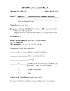
Perimeter and Area
Sixth graders explore the relationship between area and perimeter of rectangles. In this area and perimeter lesson, 6th graders measure and determine perimeter and area of various rectangles. Students create rectangles with given areas...
Curated OER
The Plant Restoration Project
Students discuss Restoration Ecology. They see that restoration can mean removing invasive, non-native plants and replacing them with native plants grown by Students.
Curated OER
Fourths of Sets
Students create a set of cards that represent factors of four and use these cards to play a game in which they practice separating numbers into fourths. They first practice separating numbers into fourths with a projected computer...
Curated OER
The Geography of Aboriginal Languages in Canada
Middle schoolers study the relationship between geography and the Aboriginal language communities.
Curated OER
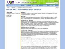
Heritage: Make a Model of a Typical Utah Settlement
Fourth graders examine the different types of settlements used in Utah. They take a community map of Utah past and present and compare the two. They create a model of the early types of settlements used by pioneers in Utah.
Curated OER
Properties of Lines - Parallel and Perpendicular
Sixth graders identify parallel and perpendicular lines in the alphabet. In this line properties lesson, 6th graders use the letters of the alphabet to show parallel and perpendicular lines. Students open a Geogrid Mat on the computer...
Curated OER
Exploration Activities
Students examine the stages in finding, removing, and processing mineral resources. They participate in the "Exploration Hunt" and "Leasing Mineral Rights" activities to better get a handle on their studying.
Curated OER
Discovering the Past Using the Future: Remote Sensing and the Lost City of Ubar
High schoolers identify and locate specific locations on the Arabian Peninsula, the Rub al Khali Desert, and present day Oman. They identify other names for the lost city of Arabia as Ubar, the Atlantis of the Sands, Iran, and the city...
Curated OER
Comparing Amount of Rainfall in Different Geographical Areas
Students construct rain gauges and use them to log rainfall in their school zone, local city, and region and then compare and discuss them by plotting this information.
Curated OER
Graphing Ordered Pairs
In this math worksheet, students learn to graph ordered pairs. Students examine a graph with 3 labeled points and tell the ordered pairs for each. Students also plot 8 ordered pairs on a graph they draw themselves.
Curated OER
Parliamentary Structure and Process on " Deck"
Tenth graders design a "deck" of individual slides on Power Point to synthesize, in a graphic organizer, their recently acquired knowledge of different levels of government in Canada.
Curated OER
Japan: A Cultural Study
Third graders "take a trip" to Japan. They discover what life is like for a typical Japanese child and compare/contrast it to life in America. They give an oral presentation of Japanese holidays and festivals.
Curated OER
Population Growth
Students discover how much the world population has grown and how much it is expected to grow. Using historical events, they discuss how they have impacted population and compare and contrast the current emission rates verses projected...
Curated OER
Is There Sewage in My Sample?
Students explore the proximity of the Hudson Shelf Valley and the Hudson Canyon to one of the Nation's most populated areas. They study that from 1987 to 1992, two dumpsites in the Hudson Shelf Valley and Hudson Canyon, one 12 miles
Curated OER
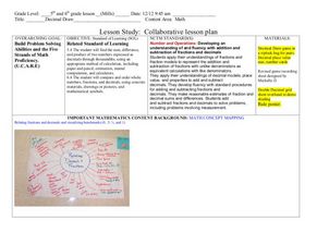
Decimals: Collaborative Lesson
Pupils explore mathematics by participating in a group activity. In this number value lesson, students identify the uses for decimals and how to best estimate whole numbers based on decimals and fractions. Pupils collaborate with...
Other popular searches
- Grid Map Skills Worksheets
- Grid Map Activities
- Second Grade Grid Maps
- Grid Map Skills
- Reading a Grid Map
- Grid Map Washington d.c.
- Letter Number Grid Maps
- Mapping Grid Maps
- Interpreting a Grid Map
- Letter/number Grid Maps
- Grid Map Lessons
- Grid Map Washington Dc


