Hi, what do you want to do?
Curated OER
Brainstorming a Regional Cultural Exchange
In this folk regions worksheet, students work with a team or individually to choose at least three cultural perspectives to consider exchanging with students in another region of Louisiana. Students survey regional characteristics by...
Curated OER
To Dig or Not to Dig: The Stadium Showdown
Students examine an ethical public dilemma. In this cultural resource instructional activity, students role play to examine their personal beliefs regarding the protection of cultural resources. They evaluate possible actions they can...
Curated OER
Iowa Agriculturist
Tenth graders review the Iowa Agriculturist, retell the annual and seasonal cycle of farming and describe pioneer farming practices.
Curated OER
Latin America: Places and Regions
Seventh graders create a Latin American portfolio in the form of a country presentation using PowerPoint software. They use their knowledge of geographic concepts to interpret maps, globes, charts, diagrams, and timelines.
Curated OER
A Thoreau Look at Our Environment
Sixth graders write journal entries o school site at least once during each season, including sketched and written observations of present environment. They can use sample topographical maps and student's own maps. Students can use...
Curated OER
Documenting Women's Lives - Anglo-Saxon England
Students read excerpts from poems from women who lived during the Middle Ages. They match the correct document to statements on a workshee they are to complete.
Curated OER
What can we learn about England in the 11th Century?
Students read source documents to find information about England in the 11th century. In this England in the 11th century lesson, students analyze and answer questions based on a source document.
Curated OER
Say Cheese
Students examine the differences in the working and eating conditions between the late 1800s and today. They engage in an Internet Quest for information on cheese which culminate in a hands-on cheese-making experience and tasting activity.
Curated OER
What did I find?
Students excavate an artifact. In this archaeology lesson, students get a bucket filled with dirt and a broken up artifact. They work in groups to take it out and to find what its purpose was.
Curated OER
Navigating by the Numbers
Students observe how math is important in navigation and engineering. They study how surveyors use math and science to calcute, count, measure, label, and indicate distances on a map. They estimate specific distances.
US Geological Survey
U.s. Geological Survey: Land Use History and Changing Landscapes
This resource provides links that overview the history of land use in the United States. Numerous satellite images of different areas are provided.
Library of Virginia
Virginia Memory: Land Survey by George Washington
What was one of George Washington's first jobs? American history tends to focus on George Washington as a leader of the Continental army during the Revolution, and as our nation's first president. Less emphasis has been devoted to...
American Museum of Natural History
American Museum of Natural History: Surveying Archaeological Sites O Logy Card
Find fast facts about surveying archaeological sites by flipping over this interactive card. Also, answer quiz questions to test your knowledge about mapping and measuring.
University of Groningen
American History: Essays: The Iron Horse: Conflicting Personal Interests
From a lengthy essay on the history of the railroad in the United States. This section describes the efforts of Jefferson Davis and others to survey lands for the best route for a transcontinental railroad. It also discusses the...
BBC
Bbc History: British History: Middle Ages: Richard Ii and Crisis of Authority
This article surveys the Peasants' Revolt of 1381, which was one of the first open challenges to royal authority in England. It goes on to discuss why Richard II was deposed and the importance of the concept that kings ruled under the...
Indiana University
Indiana Univ. Bloomington: Geo Notes: Standing Rocks: Remnants of Erosion [Pdf]
Explains what standing rocks are, how they are formed by erosion, and gives the names of some well-known ones in Indiana.
Independence Hall Association
U.s. History: 54 40 or Fight
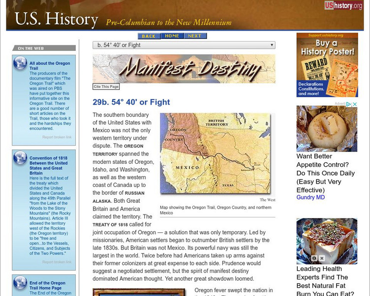
See how James Polk's plan to claim the Oregon Territory, which had been shared with Great Britain since 1818, led him to victory with the slogan, Fifty-four forty or fight. Read about the settlers who traveled the Oregon Trail and why...
Central Pacific Railroad Photographic History Museum
Central Pacific Railroad Photographic History Museum: Building of the Iron Road
From an article by B.P. Avery printed in the May, 1869, issue of "Overland Monthly" is this description of the building of the transcontinental railroad including information about the Central Pacific Railroad and the Union Pacific...
Library of Congress
Loc: Map Collections 1500 2002
This collection provides maps dating back to 1500 up to the present. The collection includes: cities, towns, discovery and exploration, conservation and environment, military battles, cultural landscapes, transportation, communication,...
TeachEngineering
Teach Engineering: Navigating by the Numbers
In this lesson, students will learn that math is important in navigation and engineering. Ancient land and sea navigators started with the most basic of navigation equations (Speed x Time = Distance). Today, navigational satellites use...
US Geological Survey
Usgs: Earth Surface Dynamics (Research Activities)
This site from USGS provides several activities to help understand the interrelationships among earth surface processes, ecological systems, and human activities. Also included are links to new findings and programs concerning Earth...


