Curated OER
Snapshot Day Definitions & Activities
In this watershed worksheet, students read through related definitions and complete 17 short answer questions about deposition and erosion in the Hudson River.
Curated OER
Which Fish Where?
Here is a lesson outline that prompts elementary learners to graph and analyze data regarding fish caught along the Hudson River. They will review vocabulary and complete 2 worksheets which can be accessed by clicking on the provided links.
Curated OER
Snapshot Day Definitions and Activities
Here is a document full of teaching notes on water quality and bodies of water that you can use in your ecology curriculum. It has information specific to the Hudson River area, but can easily be adapted to any local body of water....
Curated OER
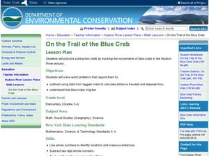
On the Trail of the Blue Crab
Third graders read the article "Blue Claw," discuss crab migration, and look at a map of the Hudson River. They complete a worksheet where they must use subtraction to determine the distance migrating crabs travel.Web links, article, and...
Curated OER
Dining Out With Fishes and Birds of the Hudson
The class will make observations to determine how environment has shaped the way particular birds and fish eat. They will view a series of photographs, read two short articles, and then consider how food availability has determined how...
Curated OER
Finding the Salt Front
Students discuss definitions of estuary, salinity, and the salt front. They listen as the teacher explains the Hudson River Miles and ways the upriver and downriver sections relate to the north and south. Students graph the salt front...
Curated OER
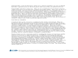
Geography of the Harbor
Young scholars study estuaries and their boundaries. In this investigative lesson students locate an estuary on a map and use nautical and topographical maps.
Curated OER
Big Boats Up The River
Using boats along in the Port of Albany as the focus, learners practice adding single-digit numbers and interpreting data. This lesson comes with the worksheets, resource links, and other materials to make it a worthwhile experience.
Curated OER
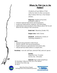
Where Do Fish Live in the Hudson?
Students explore the environmental factors that influence where fish live and determine the makeup of fish communities in the Hudson. They interpret guided observations and measurements to assess patterns, sequences and relationships.
Curated OER
Mapping Where Animals Live
What type of reptiles live in New York State? This instructional activity gets the class thinking about what factors determine where particular animals live. They analyze the Hudson Valley environment, identify specific reptile and...
Curated OER
Rivers Run Through It
In this mapping practice instructional activity, 5th graders read an informational paragraph and answer 7 questions about the parts of a map along with places shown on a given map.
Curated OER
Water Cycle Reading and Writing
Here is a great way to get pupils to express a scientific concept in a fun way. After hearing the story of Walter the Water drop and learning facts about the water cycle, the class will write a creative expository piece describing what...
Curated OER
Phragmites australis: Invasive Plant Species
Students research and investigate invasive species, with specific focus on the exotic plant Phargmites australis and its impact on Piermont Marsh near the community of Piermont, New York.


