Curated OER
Rainy Day Hike
Students develop awareness about the water cycles. They identify the watershed in which their school is located. They explain the role the schoolyard plays in the watershed.
Curated OER
Route Map Lesson Plan
Students read and make a route map by following step by step directions. They identify and make legends.
Curated OER
Community Improvement
Students examine a local body of water to determinet the health of its ecosystem and monitor it during the year. If needed they write a report on any conditions that need improvement including photographs and relevant data.
Curated OER
Arkansas Black Pioneers: A History of African-American Colonies in Arkansas
Students identify various regions of early Arkansas as these regions relate to African American colonies that settled in Arkansas after the Civil War.
Curated OER
Who In the World Is Hungry?
Middle schoolers identify the scope of hunger throughout the world. Using United States data, they discover why hunger is important to the United States and its agriculture. They identify goals of sustainable development and food...
Curated OER
Dishing the Dirt Part 1
Young scholars create a soil center on their school grounds. They begin to write in their science journals. They participate in an experiment that helps the community begin their own gardens.
Curated OER
Problem-Based Research Lesson: Wal-Mart Debate
To prepare for class, learners will read several articles (links included). Students discuss the articles, and ways to deal with the proliferation of big-box stores in rural areas. The class takes two minutes to generate a research...
Curated OER
Nuclear Storage on the Goshute Reservation
Students discuss weather or not the Goshutes should be allowed to store nuclear waste on their reservation. They work in groups and research an assigned topic, locate relevant sources then present their investigation to the class
Curated OER
Watersheds
Students discover the importance of watersheds and how they impact other bodies of water. Using a map, they identify and analyze a watershed in their local area and evaluate the health of the water nearby. In groups, they plan their...
Curated OER
A Thoreau Look at Our Environment
Sixth graders write journal entries o school site at least once during each season, including sketched and written observations of present environment. They can use sample topographical maps and student's own maps. Students can use...
Curated OER
In the Path of the Ancients: Unearthing Formulas for Area
Young scholars apply the formulas for the area of parallelograms and triangles. Through guided practice, students discover the correct way to apply the formulas. Working in pairs, they write their own problems featuring the formulas.
Alabama Learning Exchange
Alex: Land Surveying Project
This project resulted from of the collaboration of a computer aided drafting teacher, Chris Bond, and a math teacher, Lee Cable, (Hewitt-Trussville High School) to provide higher math expectations in CT and real life application in...
Library of Virginia
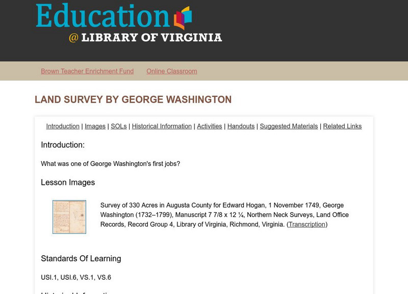
Virginia Memory: Land Survey by George Washington
What was one of George Washington's first jobs? American history tends to focus on George Washington as a leader of the Continental army during the Revolution, and as our nation's first president. Less emphasis has been devoted to...
Smithsonian Institution
National Portrait Gallery: For Lands' Sake: George Washington as Land Surveyor
This lesson plan invites the students to explore land surveying in the 18th century. Read an 18th-century land survey and decipher what is actually being said.
Science Education Resource Center at Carleton College
Serc: Geo Glitz: Intensive Geological Survey of the Land at a Specific Location
In this geology field lab, students investigate the surrounding land by walking different transects of the ecosystem, looking for and identifying as many different living and nonliving ecosystem features as possible
TeachEngineering
Teach Engineering: Navigating by the Numbers
For this lesson, students will learn that math is important in navigation and engineering. Ancient land and sea navigators started with the most basic of navigation equations (Speed x Time = Distance). Today, navigational satellites use...
Other popular searches
- Land Survey Math
- Public Land Survey
- Land Survey Construction
- Land Survey System
- Land Surveying Math
- History of Land Surveying
- Land Survey Math Measurement
- Geometry Land Surveying
- Land Surveyor
- Geometry and Land Surveying
- Land Surveying Egypt


