Curated OER
Land Use Worksheet
In this environment worksheet, students find the solutions to a real life case study after separating into different groups. There is also information about types of land use for scaffolding of the project.
Space Awareness
Let's Map the Earth
Before maps went mobile, people actually had to learn how to read maps. Pupils look at map elements in order to understand how to read them and locate specific locations. Finally, young cartographers discover how to make aerial maps.
Curated OER
Earth: Land Use Picture Project
Students explore how changes in human land use are impacting local environments. They also explore some of the social impacts of various land uses in their area. They identify and discuss some social impacts of the different land uses.
Curated OER
Scarcity of Land Throughout the World and in Hawaii
Students discuss the importance of "land." They review the four types of land classification--urban, rural, agricultural and conservation--and participate in an activity involving an apple that demonstrates the use of land in Hawaii....
Curated OER
The Case of Vanishing Farmland
High schoolers consider decisions about how to use resources that are in short supply. Students role-play different perspectives in a land-use simulation, and examine land use issues around the world. This interesting instructional...
CK-12 Foundation
Topographic and Geologic Maps: Topographic Maps
Maps are great for helping you get where you're going, but what does that place actually look like? Geology scholars compare and contrast the features of topographical and geologic maps using an interactive lesson. The resource describes...
National Wildlife Federation
Quantifying Land Changes Over Time Using Landsat
"Humans have become a geologic agent comparable to erosion and [volcanic] eruptions ..." Paul J. Crutzen, a Nobel Prize-winning atmospheric chemist. Using Landsat imagery, scholars create a grid showing land use type, such as urban,...
NOAA
Mapping the Deep-Ocean Floor
How do you create a map of the ocean floor without getting wet? Middle school oceanographers discover the process of bathymetric mapping in the third installment in a five-part series of lessons designed for seventh and eighth graders....
Curated OER
First You Take an Ecumene
Although this was written regarding Canadian agriculture, it can be used in any agriculture or environmental science class. Learners evaluate agricultural and economic activity maps and consider land use competition. Activities that get...
NOAA
Wet Maps
How do oceanographers make maps under water? Junior explorers discover the technologies and processes involved in creating bathymetric maps in part three of a five-part series designed for fifth- and sixth-grade pupils. The lesson...
K20 Learn
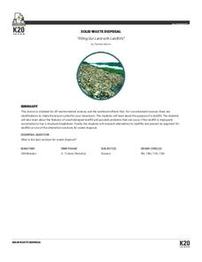
Filling Our Land with Landfills: Solid Waste Disposal
New ReviewThough it comprises only 5 percent of the world's population, the US generates 40 percent of the world's waste. Scholars learn about landfills, their safety, and other solid waste methods. They use experiments and research to learn more....
Curated OER
Topographic Maps
Your choice of hands-on topographic mapping tasks is provided in this resource. From actual map-making to viewing and interpreting stereographic photos, the activities are sure to succeed. To make the most of this lesson, you will need...
Curated OER
When You Were My Age, What Was This Place Like?
Young scholars discover how land use in their community has changed. In this community and ecology instructional activity, students scan old newspapers to find articles about the development of community land. Young scholars discuss and...
Curated OER
This Land Is Your Land, This Land Is My Land
Students review and evaluate the ways land is covered and used in their local community. They consider the environmental effects of the different types of land use. Students act as community planning engineers to determine where to place...
Curated OER
Land Plan Challenge
Links to two different versions of this mapping activity are available. In "The Small Version," youngsters design a town, keeping the water supply in mind. In "The Large Version," they also design a town, but they consider services and...
Curated OER
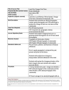
Land Use Change Over Time
Middle schoolers use historical aerial photographs and current aerial photographs to compare the change over time to the land. For this land changing lesson plan, students analyze, compare, contrast, and list the land change in their own...
Curated OER
LAND USE DEBATE / TOWN MEETING
Ninth graders research, analyze, and orally defend an issue related to the use of geologic resources. They defend their position in written form by composing a letter to an appropriate source.
Curated OER
Comparing the Impact of Multiple Uses
Learners study multiple land uses and their effects on one another. They assess multiple land uses in National Forests and Grasslands and evaluate the effects of each use on all other uses. They develop a comprehensive list of human...
Space Awareness
Valleys Deep and Mountains High
Sometimes the best view is from the farthest distance. Satellite imaging makes it possible to create altitude maps from far above the earth. A three-part activity has your young scientists play the role of the satellite and then use...
NOAA
Watching in 3D
Bring the ocean floor to life! Earth science scholars discover the process of deep sea mapping in the third installment in a series of five lessons about ocean exploration. The teacher's guide includes helpful resources, worksheets, and...
NOAA
Into the Deep
Take young scientists into the depths of the world's ocean with the second lesson of this three-part earth science series. After first drawing pictures representing how they imagine the bottom of the ocean to appear, students investigate...
Curated OER
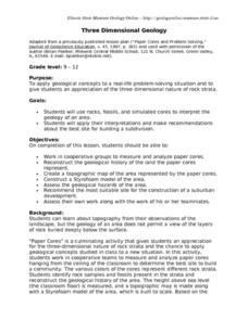
Three Dimensional Geology
Here is a fine lesson plan on geology designed for high schoolers. Learners use rocks, fossils, and other geological clues to determine the geology of an area. Then, they make recommendations to a fictitious city council about the...
Curated OER
Historical Geography Scavenger Hunt
Young scholars are told that Geography is the science that deals with the differentiation of the surface of the earth due to the influence of things like population, vegetation, geology, and land use. They explore the Geography Basics...
Curated OER
How Can We Keep Our Forests Intact and Have Our Chocolate Too?
Fourth graders explore various methods of growing and harvesting rainforest foods in order to sustain its biodiversity. They discuss the various uses for trees from several viewpoints. Students research chocolate demand and land use...


