Hi, what do you want to do?
Curated OER
Be a "Fossil Detective" an Effective Tool in Earth Science Education
Students examine the geological time scale: the Earth is ancient; time can be divided into periods based on its fossil content.
Curated OER
On the Trail with Lewis and Clark
Eighth graders use the Internet to conduct research on the Lewis and Clark journals and work cooperatively in planning and delivering a presentation.
Curated OER
On the Road Again": Moving People, Products, and Ideas
For this lesson students learn how to identify modes of transportation and communication for moving people, products, and ideas from place to place. Students also study the advantages and disadvantages of different modes of...
Curated OER
War of 1812
Eighth graders examine how Andrew Jackson's decisions during The Battle of New Orleans led to victory. They study the importance of The Battle of New Orleans in the Treaty of Ghent and discuss the results of the War of 1812. Finally,...
Curated OER
Making A New Nation
Eighth graders read standard road maps and topographical maps, and examine the lives of pathfinders who opened the trails to the West. They develop Living History presentations, role-playing a character from the past.
Curated OER
Lewis and Clark in Your Local Park
Students read parts of the Journals of Lewis and Clark focusing on the descriptive writing of Meriwether Lewis. They examine pictures of animal and plant species, and listen to nature tapes. They simulate the experience of the explorers...
Curated OER
States of Fitness
Students participate in physical activities coordinating to divisions on a map.
Curated OER
Researching the World's Oceans
Students research and compare important features of the oceans based on current data. They examine the globe or map, determine the major oceans of the world, and record their names on the data sheet.
Curated OER
The Expansion of The United States, 1846-1848
Learners interpret historical maps,identify territories acquired by the United States in the 1840s. Also they identify states later formed from these territories. The primary sources for the lesson plan are the maps found in the lesson...
Curated OER
Fort Clatsop: The Corps of Discovery's Winter at Fort Clatsop
Students investigate the Lewis and Clark expedition and how it helped to shape American expansion during its early history. Students reflect upon the period of history and its implications for America.
A&E Television
History.com: Louisiana
Take a detailed look at the state of Louisiana! From its earliest history and peoples, to present day facts which include population, climate, geography, plants and animals, economy, government, cultural life, sports and recreation,...
Agriculture in the Classroom
National Agriculture in the Classroom: A Look at Louisiana Agriculture [Pdf]
Learn facts about the agricultural industry of Louisiana, including climate, soil, crops, and animals. PDF (requires Adobe Reader).
Other
State Government of Louisana: Welcome to Louisiana
This is the official website for the state of Louisiana, with pictures, news, history, and government information on this interesting state.
NSTATE
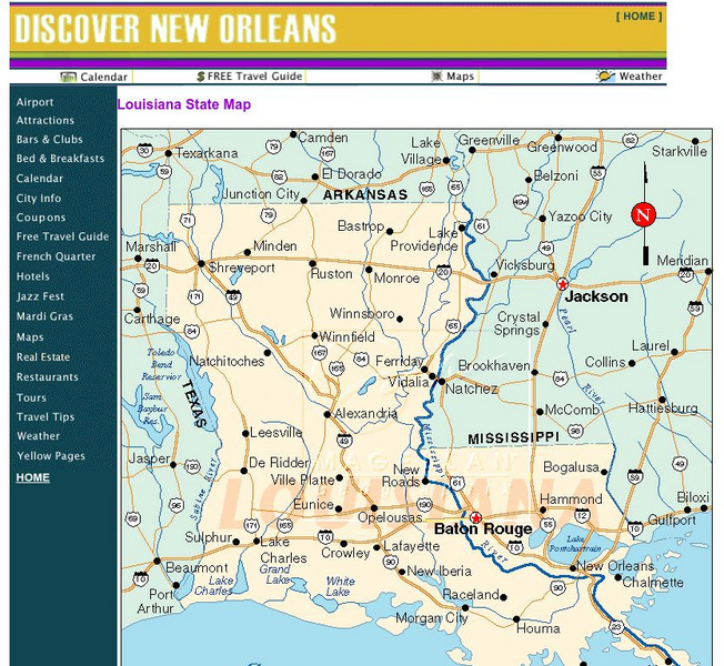
The Geography of Louisiana
Here you will find a variety of facts about the geography of the state of Louisiana. Find out the geographic center, total area, elevations and much more.
Cayuse Canyon
The Us50: Louisiana
Features extensive information regarding Louisiana's history, famous people, cities, geography, state parks, tourism, and historic sites. A fact sheet of information and a quiz are also available.
Johns Hopkins University
Johns Hopkins University: Louisiana State Maps
This site is presented by the Johns Hopkins University Applied Physics Laboratory. Do you know how many counties there are in Louisiana? Come and find this information and much more through this website.
Ducksters
Ducksters: United States Geography for Kids: Louisiana
Kids learn facts and geography about the state of Louisiana including symbols, flag, capital, bodies of water, industry, borders, population, fun facts, GDP, famous people, and major cities.
Louisiana Department of Education
Louisiana Doe: Louisiana Believes: Social Studies: Grade 6: Catalhoyuk
Read and study the sources about Catalhoyuk. As you read the four sources, think about how the physical geography of Catalhoyuk influenced its development as a civilization.
Discovering Lewis & Clark
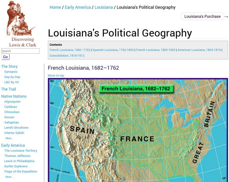
Discovering Lewis & Clark: Political Geography: 1682 to 1912
The geographical and political history of the west was linked with the process of defining boundaries, ownerships, and histories. Between 1682 and 1912 there was French Louisiana, Spanish Louisiana, back to French Louisiana, then...
Kidport
Kidport: United States of America Geography
This site contains a fun way to learn about the states within the United States. Click on the state that you want to learn more about and it provides facts, geographic landmarks, points of interest, major industries, a quiz and more.
50 States
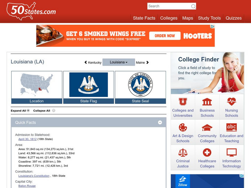
50 States: Louisiana (La)
Find here a collection of links to information about the state of Louisiana. Categories include facts, government, geography, education, people, attractions, history, industry, and miscellaneous.


![National Agriculture in the Classroom: A Look at Louisiana Agriculture [Pdf] Handout National Agriculture in the Classroom: A Look at Louisiana Agriculture [Pdf] Handout](https://static.lp.lexp.cloud/images/attachment_defaults/resource/large/FPO-knovation.png)


